
For local businesses, brokers & property owners
Commercial real estate drone photography
A building photograph can leave buyers and tenants guessing about the rest of the site. Emerald Coast Drone Pros creates commercial real estate aerial photography and video that show entrances, parking, building arrangement and surrounding development. We help brokers, owners and businesses present the exterior information people need before a property visit or leasing conversation.
Based in Panama City Beach · Bay, Walton, Okaloosa & Gulf counties
Overview
Put the building in context
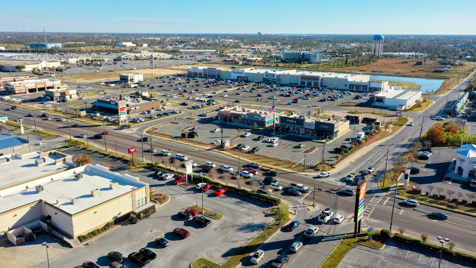
Ground-level photographs are useful for showing the facade and individual entrances. An aerial site overview fills in the spaces between them: where the building sits, how paved areas connect and what surrounds the property. That wider view helps a broker explain the location without asking the prospect to piece it together from unrelated photographs.
We also capture closer angles so the subject remains recognizable. For a unit within a larger property, identify the specific building or portion being marketed. For a site with several buildings, tell us which relationships matter most. Those details help us choose views that support the listing instead of making the site harder to read.
Different properties need different views
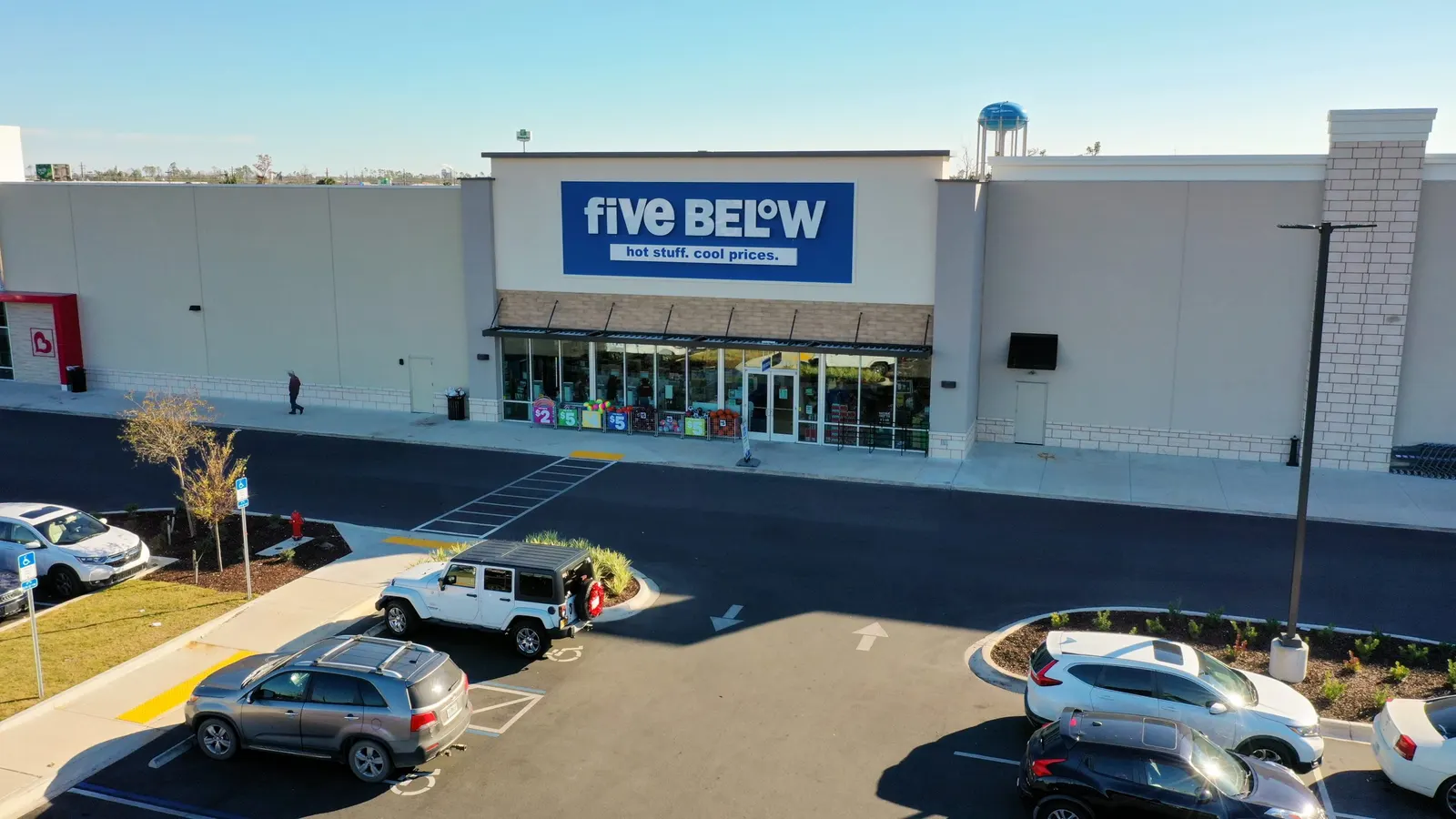
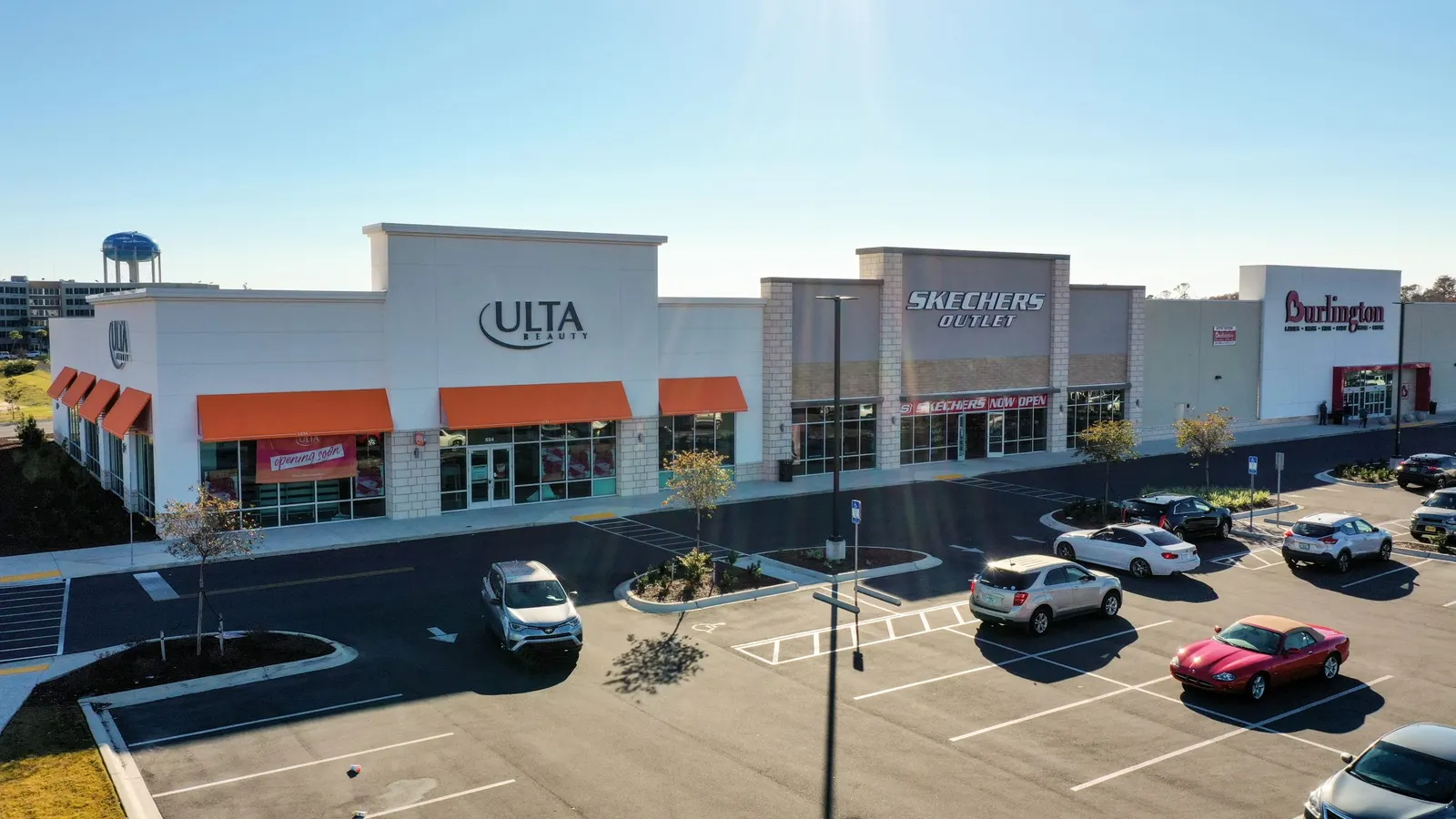
The most useful views depend on who is considering the property. For a retail tenant, the storefront, customer approach and nearby parking may be the priority. An office prospect may need to recognize the main entrance within a larger complex. For a property with service or loading areas, photographs from more than one side can show how those areas relate to the building.
For vacant land or a development property, wider aerial imagery can introduce visible land features, nearby roads and neighboring development. It gives your presentation a current visual reference to sit beside the property facts and plans you provide. We focus on showing the location, not suggesting uses or development rights that haven’t been established.
Our photography
Commercial buildings, access and parking
These commercial-property photographs connect the building with parking, roads and neighboring development. A listing shoot focuses on the features buyers, tenants or business visitors need to understand.
Media for your listing and presentation
Request edited photographs, aerial video, or both. For a brochure, a broad site photograph can introduce the property, followed by closer views of the entrance, parking or loading area on the pages that discuss them. A video can connect those locations for a property website or leasing presentation. The selection should answer the prospect’s questions, not repeat the same building from slightly different angles.
Send your designer’s brief or an example of the brochure or listing layout. We can discuss image proportions, room for headings and any requested labels or video versions before capture. Your quote sets out the photo selection, editing and final files included.
Plan around a working property
Commercial sites often stay busy during a shoot. Let us know about tenant activity, delivery windows, restricted areas and the on-site contact. If an empty parking area or a particular entrance is important to the presentation, raise that early so we can discuss realistic timing.
For portfolios, include each address and identify whether the properties need a consistent set of views or different coverage. That gives your marketing team a more useful collection while allowing for the layout and activity at each site.
Need a site map rather than listing photos?
Marketing photography is chosen for presentation. An orthomosaic is a different product: overlapping aerial photographs are processed into a continuous overhead site image. If your team needs that kind of site record, ask about mapping rather than assuming it comes with a commercial photo shoot.
Based in Panama City Beach, we serve commercial properties throughout Bay, Walton, Okaloosa and Gulf counties, including Destin, 30A and Freeport. Send the address, property type and intended use to start planning.
Explore orthomosaic mapping See our service areasGood to know
Commercial property photography questions
Can a property manager arrange the shoot?
Yes. Brokers, owners and property managers can request coverage. Identify the property, the person coordinating access and the team that will use the finished media.
Can the photos establish parking capacity or access rights?
No. Aerial imagery shows visible conditions; it does not verify parking capacity or rights, boundaries, zoning, traffic counts or legal access. Keep those claims tied to verified property information. Flight conditions and site activity may also limit viewpoints.
Can you include video for a leasing presentation?
Yes. Tell us which part of the property is being leased and what the audience needs to see. We’ll discuss the sequence, length and presentation format with you.
What should I send with the request?
Start with the address, listing or leasing purpose, priority features and your publishing date. An existing brochure, site reference or designer’s brief can help explain the views you need.
Request this service
Show the property beyond the facade
Send the address and the details buyers or tenants need to understand. We’ll help plan the aerial photos and video for your presentation.
Request commercial property mediaCommercial Real Estate Drone Photography on Florida’s Emerald Coast.
Based in Panama City Beach, serving Bay County · Walton County · Okaloosa County · Gulf County. Farther trips by request.
More drone services
Explore more services.
Mapping
Drone Mapping & 3D Models
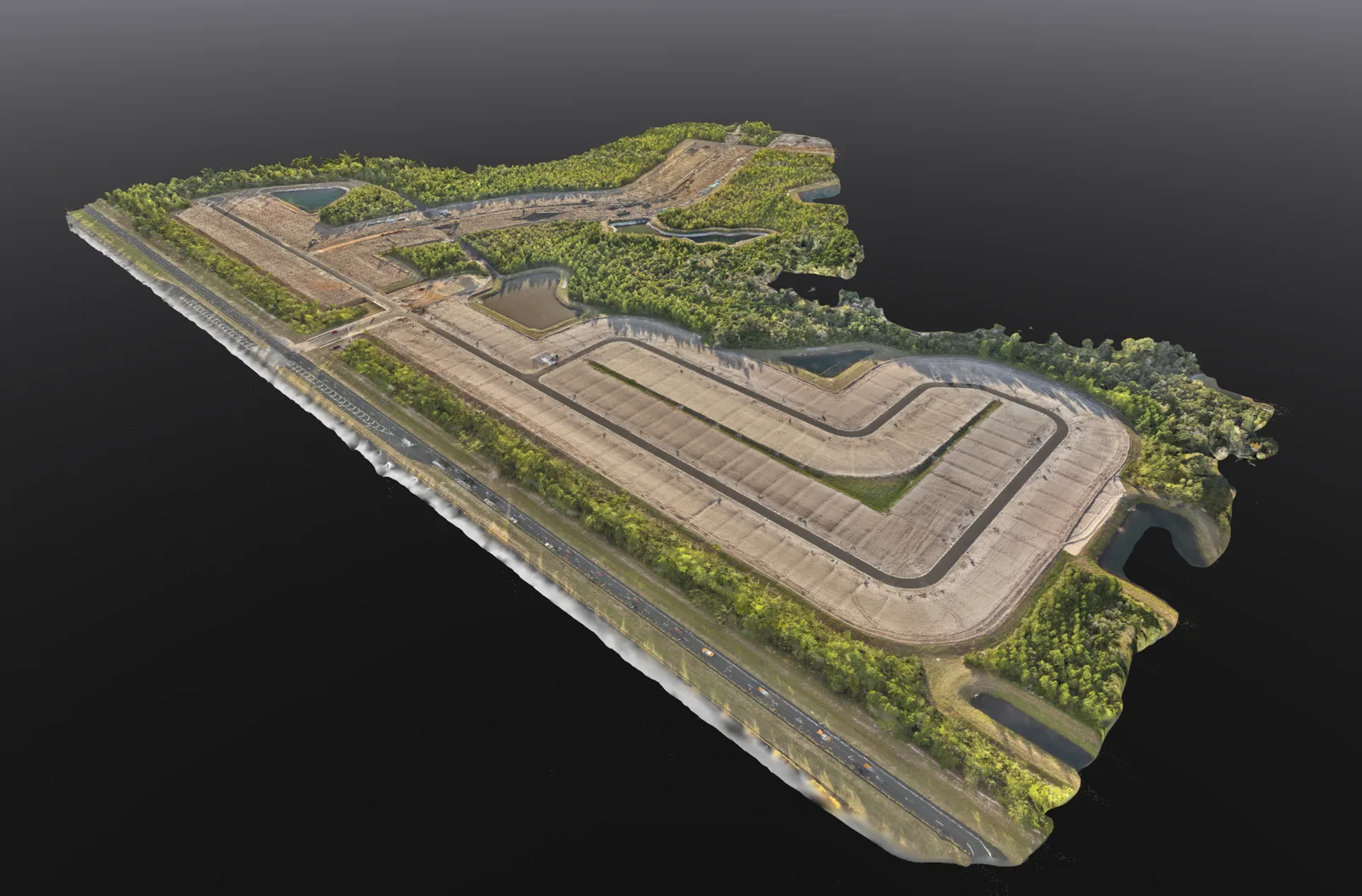
Overhead site maps, 3D models and stockpile volume estimates to help you review and document your property.
Explore service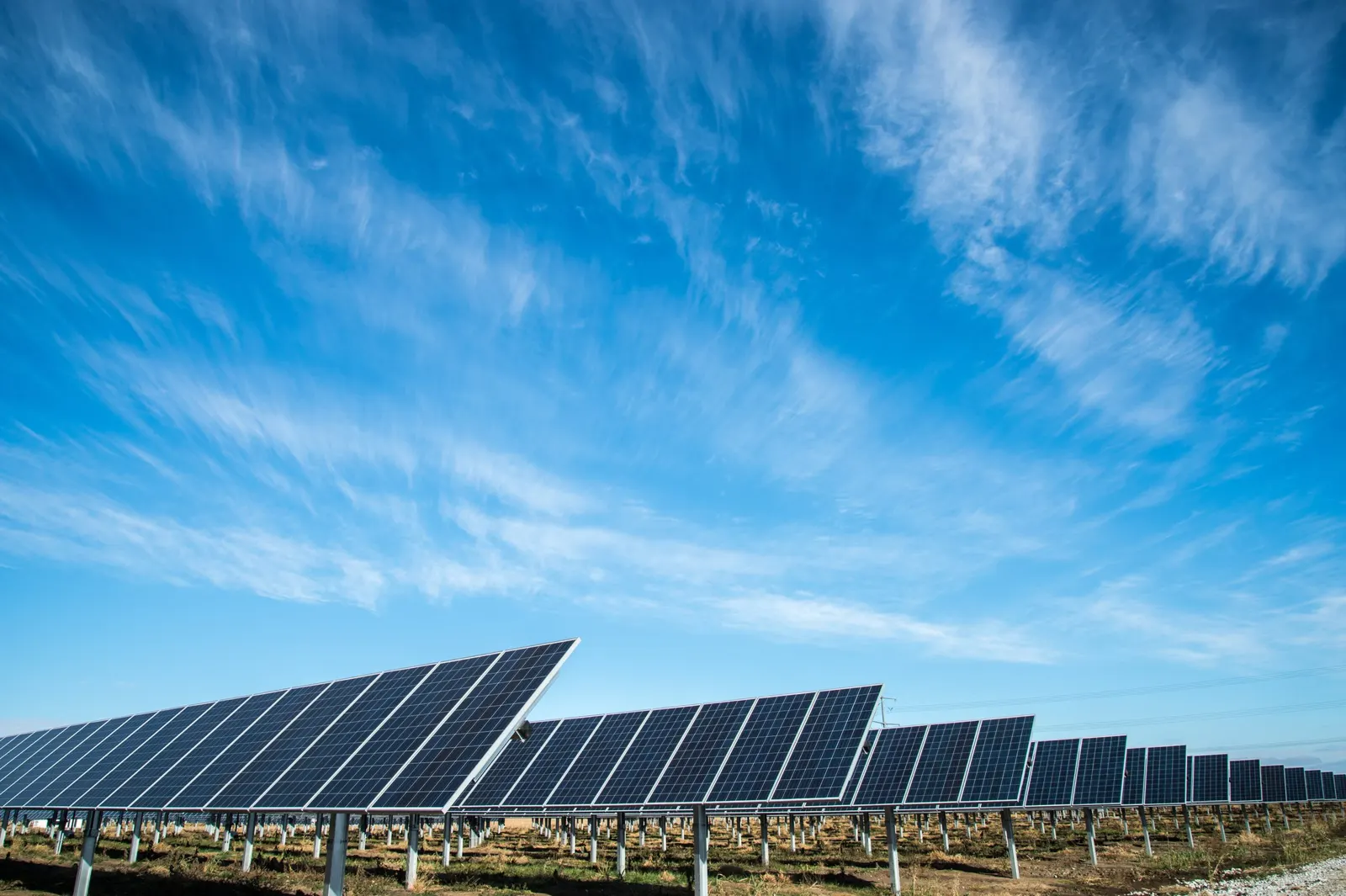
Facilities & infrastructure
Energy & Infrastructure Aerial Imagery
Document visible facility conditions, requested external details, and changes around an asset.
Explore service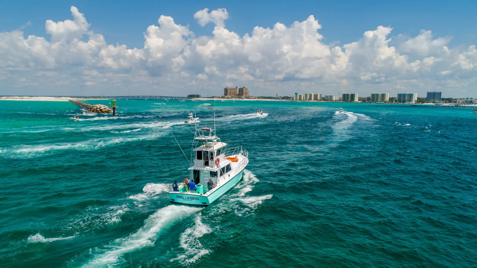
Photography & video
Aerial Photography & Video
Drone photos and video for personal properties, business websites, promotions, and other aerial shoots.
Explore service