
For HOA boards, community managers & residents
HOA drone services and community aerial photography
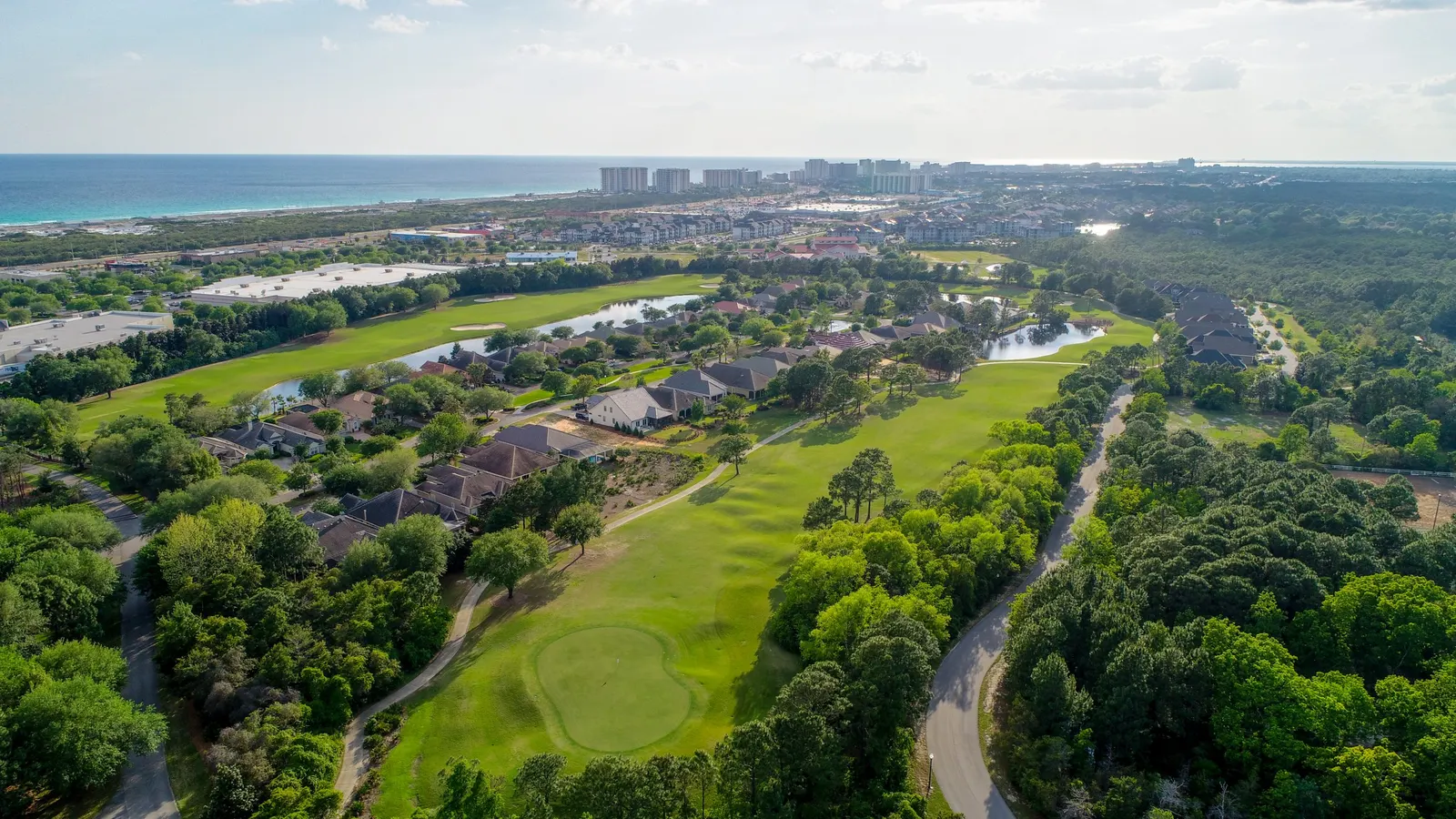
Board and maintenance discussions are easier when everyone can see the same common area or project. Emerald Coast Drone Pros provides HOA aerial photography and video for community managers, boards and property managers who need clear location context and a record of visible changes. We plan coverage around the shared spaces you manage and the people who need the information.
Based in Panama City Beach · Bay, Walton, Okaloosa & Gulf counties
Overview
Give the board a shared reference
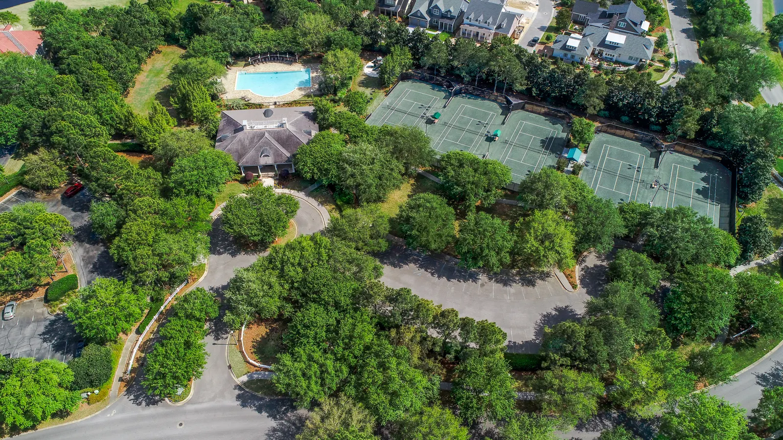
A community manager may know every corner of the property, while a board member or contractor is seeing a particular area for the first time. An aerial overview gives them a common reference. It can connect the clubhouse, pool, paths and landscaped areas, then lead into closer photographs of the feature that needs attention.
For a board packet, pair a photograph showing the project’s location with closer views beside the maintenance proposal. A contractor can refer to the same area when explaining the work. For residents, a wider view may be more useful: it can show which path, amenity or landscaped area the update concerns without including every photograph prepared for the board.
Keep a visual record of community improvements
Landscaping work, amenity renovations and other exterior projects can change quickly between board meetings. A visit before work begins creates a visual starting point. Return visits at meaningful stages can record the changes, followed by photographs of the finished exterior.
We plan comparable viewpoints where practical so before-and-after images are easier to follow. The photographs can be organized by location and visit date, giving the manager a useful record to refer back to. This is especially helpful when several shared areas are being improved at different times and one general update would leave out important differences.
Our photography
Shared amenities and community grounds
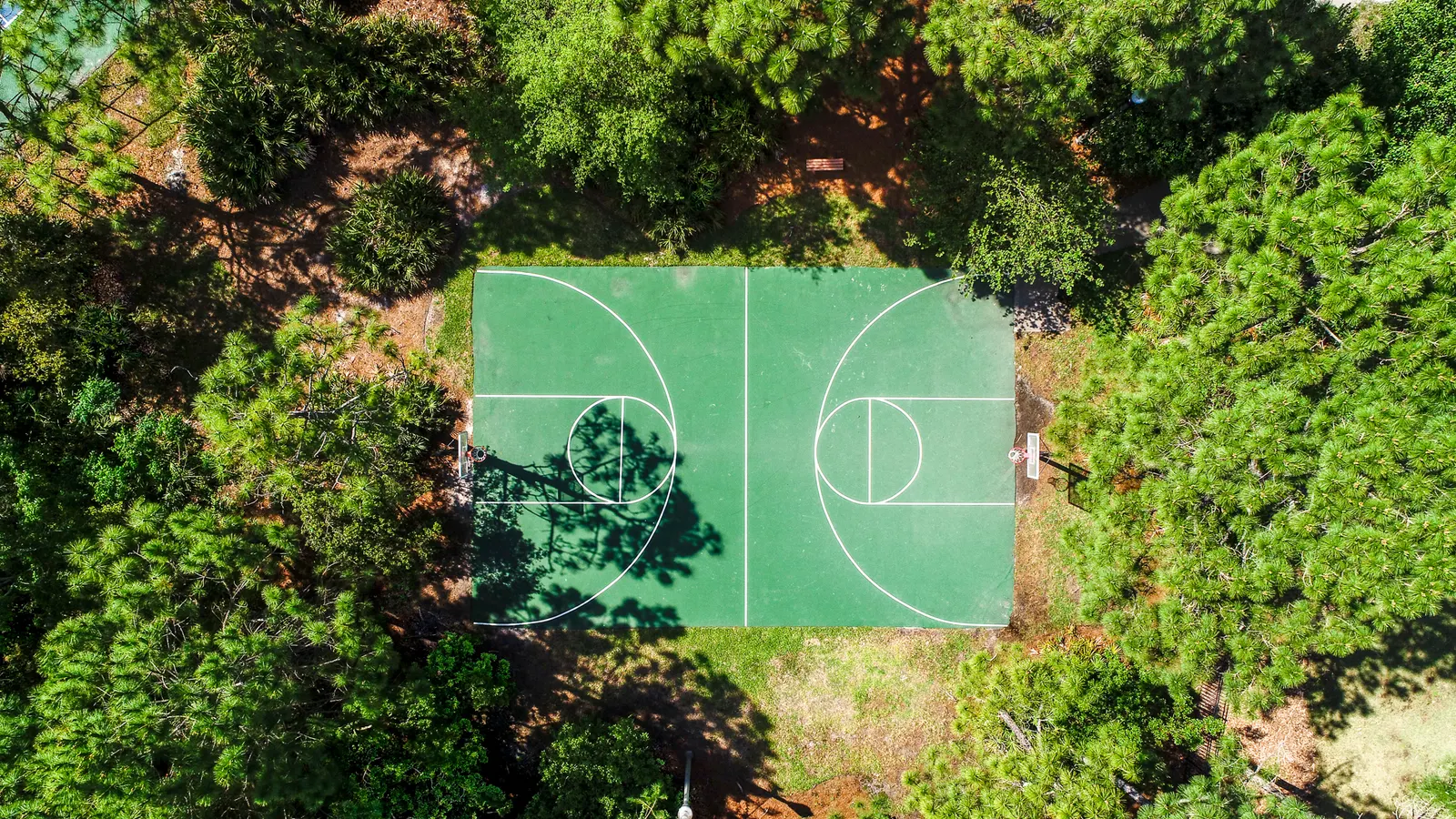
See how a wider aerial view connects shared amenities, landscaped grounds and neighboring buildings. For your community, we plan the views around the actual common areas and project the board needs to discuss.
Choose the coverage your association needs
For a routine community overview, you may only need a set of edited aerial photographs. A maintenance discussion may call for a wider location view paired with more focused exterior images. Aerial video can be useful for a community presentation when a sequence makes the arrangement of the grounds easier to understand.
Your quote will identify the areas to cover, number of visits, photographs or video and final files. Tell us whether the material is for board members, contractors, resident updates or a public website. Those uses may need different views, and agreeing on them early helps keep the final collection useful.
Plan around the people who live there
Community work needs thoughtful coordination. We’ll ask for a board or management contact who can identify association-managed areas, arrange site access and flag busy amenities or locations to avoid. Any resident notice should be coordinated through the association.
The camera stays focused on the agreed community purpose. This service is for documenting shared spaces and projects, not ongoing surveillance of residents. If a pool, playground or other amenity is active, we’ll discuss appropriate timing and available viewpoints with the community contact.
When a project needs a closer look
If the main concern is a shared roof, ask about focused roof documentation. For a larger construction project, recurring progress coverage may be more useful than a one-time community photo shoot. We can discuss the right type of record without adding unnecessary coverage to the job.
Emerald Coast Drone Pros is based in Panama City Beach and serves associations across Bay, Walton, Okaloosa and Gulf counties. Property managers overseeing several communities can include them in one request, with the relevant areas and purpose listed for each location.
Drone roof documentation Construction progress imageryGood to know
HOA and community drone photography questions
Can you return at different stages of a project?
Yes. Tell us the planned milestones and which changes the board wants to follow. We can discuss visits around useful stages rather than photograph the same unchanged area on an arbitrary schedule.
Does this replace an inspection or reserve study?
No. The imagery records visible conditions; it does not diagnose problems, certify work or replace an engineering assessment, inspection or reserve study. Weather, flight conditions and site activity may limit coverage. Use the photos alongside the appropriate professional advice.
Can we use the images in resident updates?
Tell us about that use when requesting the work. We can plan photographs that clearly show the relevant common area and discuss final files and intended sharing alongside any board or contractor needs.
What should we include in the request?
Send the community address, shared areas or project to photograph, reason for the coverage and management contact. Current photos or a simple location reference can help identify the areas you mean.
Request this service
Give your next community update a clearer picture
Tell us which common area or project you need to document and how the board or manager will use the imagery.
Request community imageryHOA & Community Documentation on Florida’s Emerald Coast.
Based in Panama City Beach, serving Bay County · Walton County · Okaloosa County · Gulf County. Farther trips by request.
More drone services
Explore more services.
Roof & property
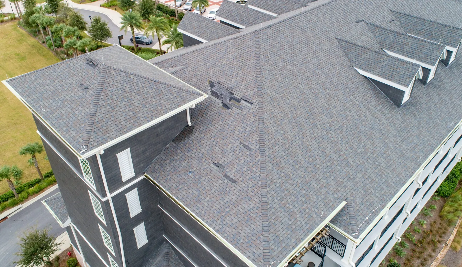
Drone Roof Documentation
Get roof overviews and detail photographs to discuss visible conditions with your roofer.
Explore service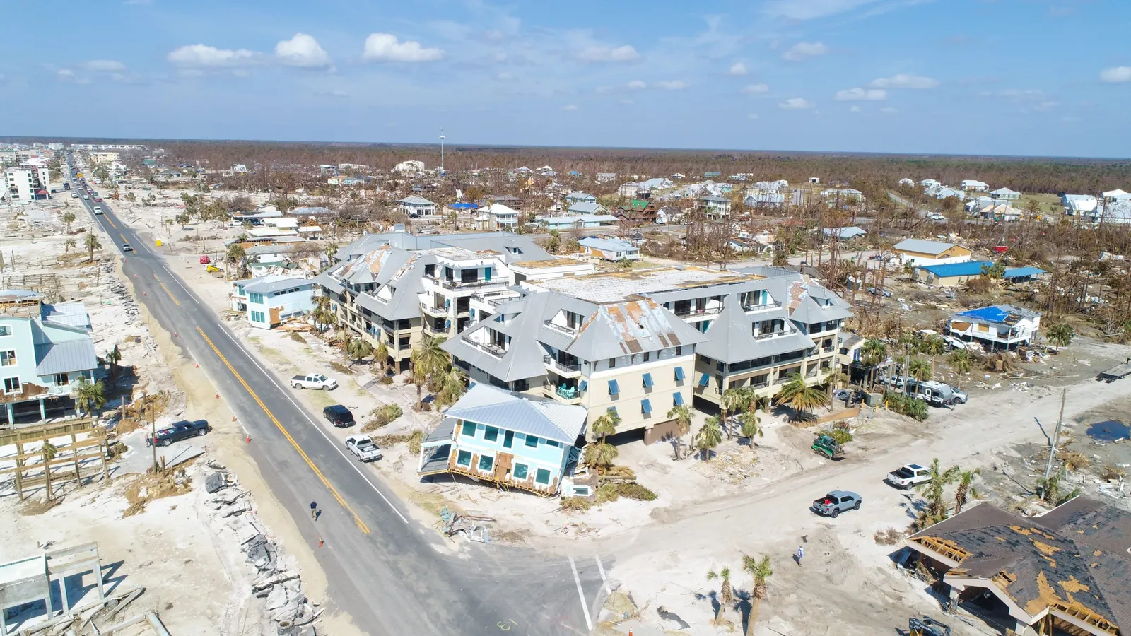
Roof & property
Drone Damage Documentation
Document visible exterior conditions before cleanup and repairs change the property.
Explore service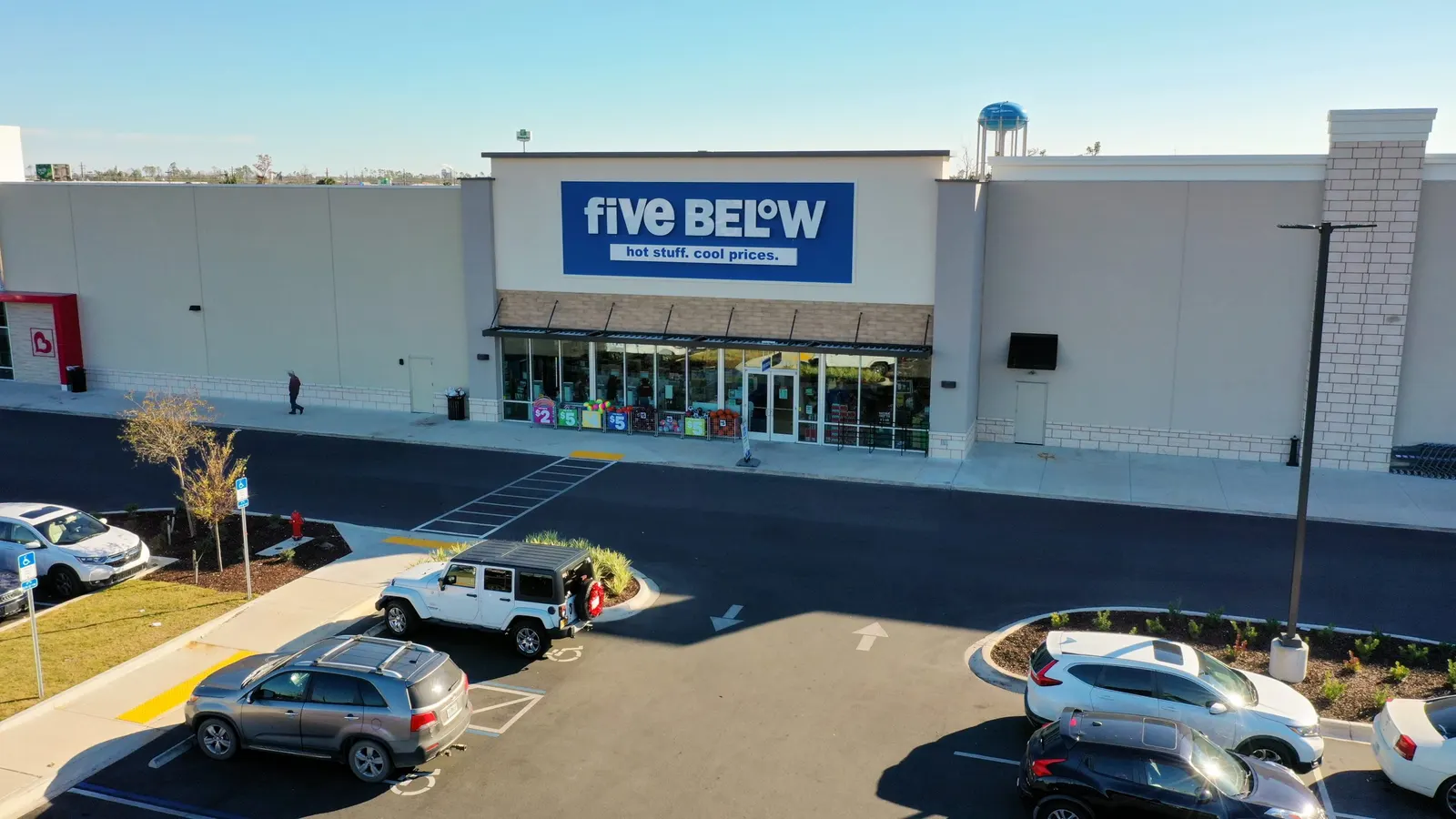
Real estate
Commercial Real Estate Drone Photography
Show the building, access, parking, and surrounding development to buyers, tenants, and project partners.
Explore service