Site and access views
The arrangement of buildings, approaches and work areas included in the visit.

For facility owners & infrastructure teams
Give the responsible team a current external view of the asset and its setting. Emerald Coast Drone Pros plans energy and infrastructure aerial documentation in Panama City Beach and surrounding counties. Site overviews, visible asset details, and repeat records help facility and project teams locate the work area, review external conditions, and see what changed between visits.
Based in Panama City Beach · Bay, Walton, Okaloosa & Gulf counties
Illustrative facility image
Overview
A useful set starts with recognizable subjects. Tell us the facility’s building names, equipment identifiers or work-area labels so a reviewer can connect each photograph to the right part of the site. An overview establishes the location; additional views show the requested exterior features.
The quoted coverage can include:
The arrangement of buildings, approaches and work areas included in the visit.
External views selected from your team’s shot list, with enough surrounding detail to identify the subject.
Dated photographs of selected construction or installation milestones, with repeat views where useful.
For a project update, the priority may be showing how an installation has progressed and where work is still underway. Identify the milestone and the subjects that should appear in the record, rather than relying on a general panorama to explain the change.
For maintenance preparation, your specialist may want a particular side, connection area or exterior feature photographed. Send the request in their own terms. We review whether the feature can be seen from a practical viewpoint; the specialist then uses the imagery alongside their own examination and records.
For a remote owner or incoming contractor, a current site overview can help explain where the work is located and how it relates to the surrounding facility. These are visual references for discussion, not a substitute for the facility’s access instructions or technical drawings.
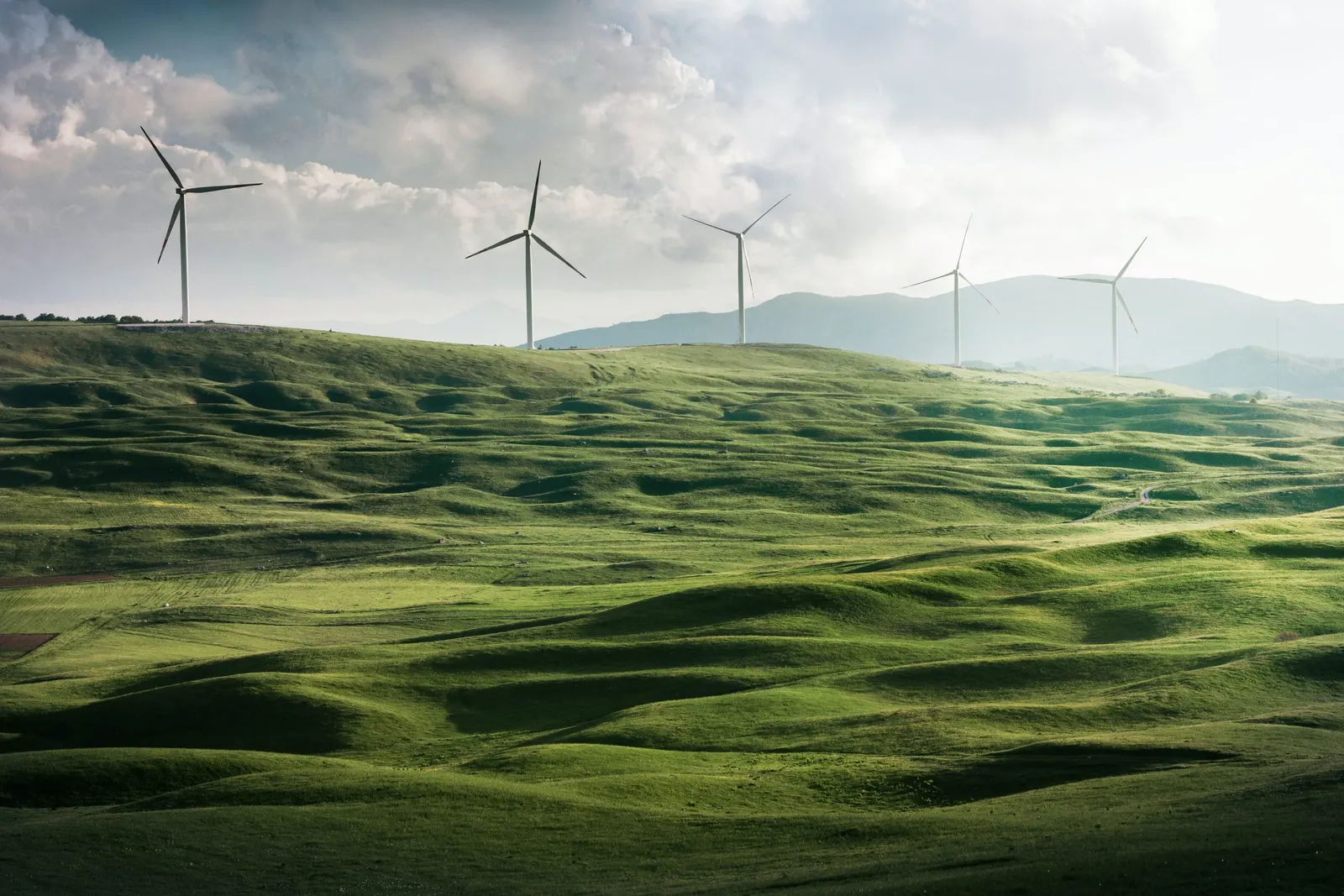
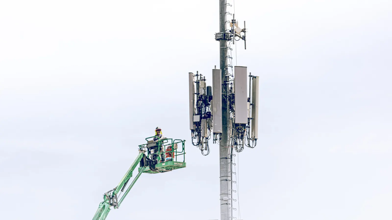
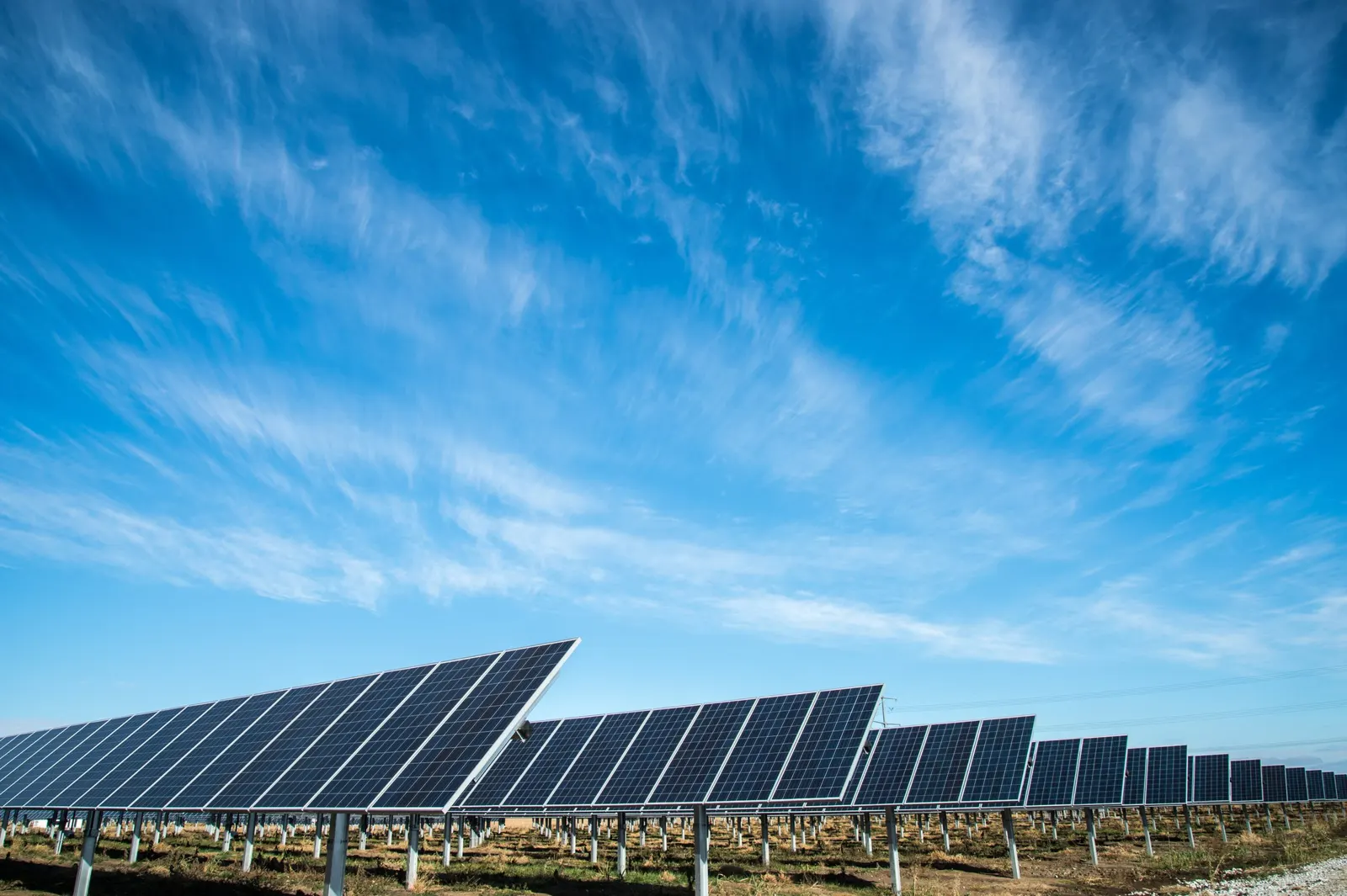
Illustrative facility imagery
These illustrative facility photographs show possible subjects for aerial documentation. They are visual references, not ECDP client projects or evidence of specialist inspection work.
Facility photography needs more coordination than an ordinary property shoot. Provide a responsible site contact, any induction or escort requirements, areas that must not be photographed and operational restrictions that may affect the visit. We review these alongside the flight requirements for the location.
A marked image or asset list keeps the request precise. For each priority subject, note what the reviewer needs to see and whether there is a preferred direction. Active equipment, nearby structures and restricted areas may limit the available view.
Agree file naming, delivery and any handling requirements before capture. For recurring work, keep the asset identifiers consistent and let us know when installation dates move. That makes later photographs easier to match to the right stage and subject.
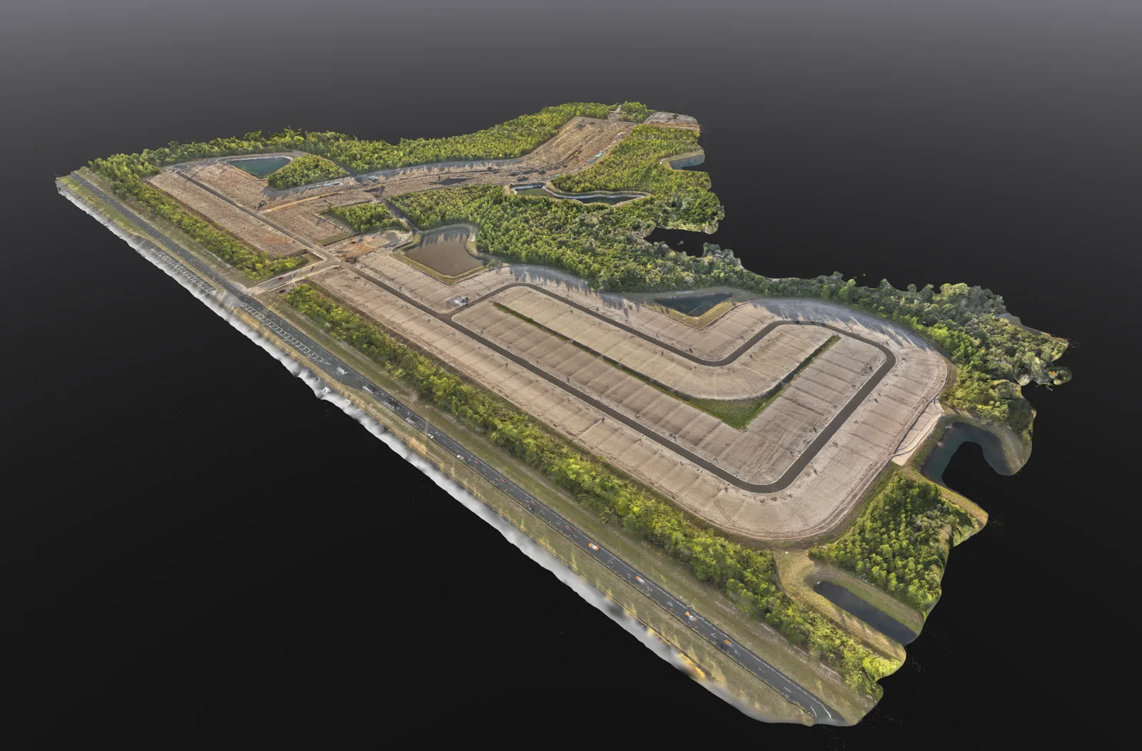
Choose photography when the main need is to see a feature or document a stage of work. An orthomosaic can be more useful when the team needs a continuous overhead reference across a larger site. A photogrammetric 3D model adds a different way to view the shape of visible structures and ground.
Mapping is a separate deliverable, not something automatically included with a photo visit. Share the intended use and any technical file requirements so we can recommend the appropriate service. For ongoing construction documentation, see our progress photography coverage.
Explore drone mapping and 3D models See construction progress photographyWe are based in Panama City Beach and review energy and infrastructure imagery requests across Bay, Walton, Okaloosa and Gulf counties. Send the exact site location and responsible contact so access and airspace planning reflect the facility.
View our service areasGood to know
This service provides visible external imagery. It does not include electrical testing, thermal diagnostic analysis, defect classification or engineering assessment. Your facility team and qualified specialists remain responsible for technical interpretation.
Yes. Include asset names, the external features to photograph, preferred directions and any file requirements. We review feasible coverage before confirming the visit.
Yes. We can discuss repeat visits around visible milestones, with comparable views of the assets and work areas you want to follow.
Identify prohibited areas and handling requirements before the visit. We review those restrictions with the responsible contact as part of planning the requested coverage.
Request this service
Send the location, asset list, requested photographs and site contact. Include access restrictions and delivery requirements so we can discuss a practical capture plan.
Discuss facility aerial imageryEnergy & Infrastructure Aerial Imagery on Florida’s Emerald Coast.
Based in Panama City Beach, serving Bay County · Walton County · Okaloosa County · Gulf County. Farther trips by request.
More drone services
Mapping
Overhead site maps, 3D models and stockpile volume estimates to help you review and document your property.
Explore service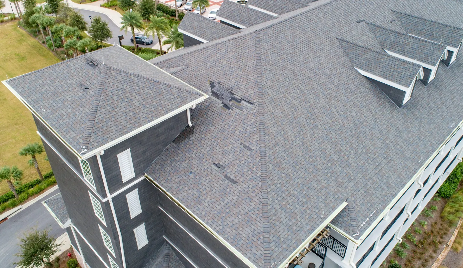
Roof & property
Get roof overviews and detail photographs to discuss visible conditions with your roofer.
Explore service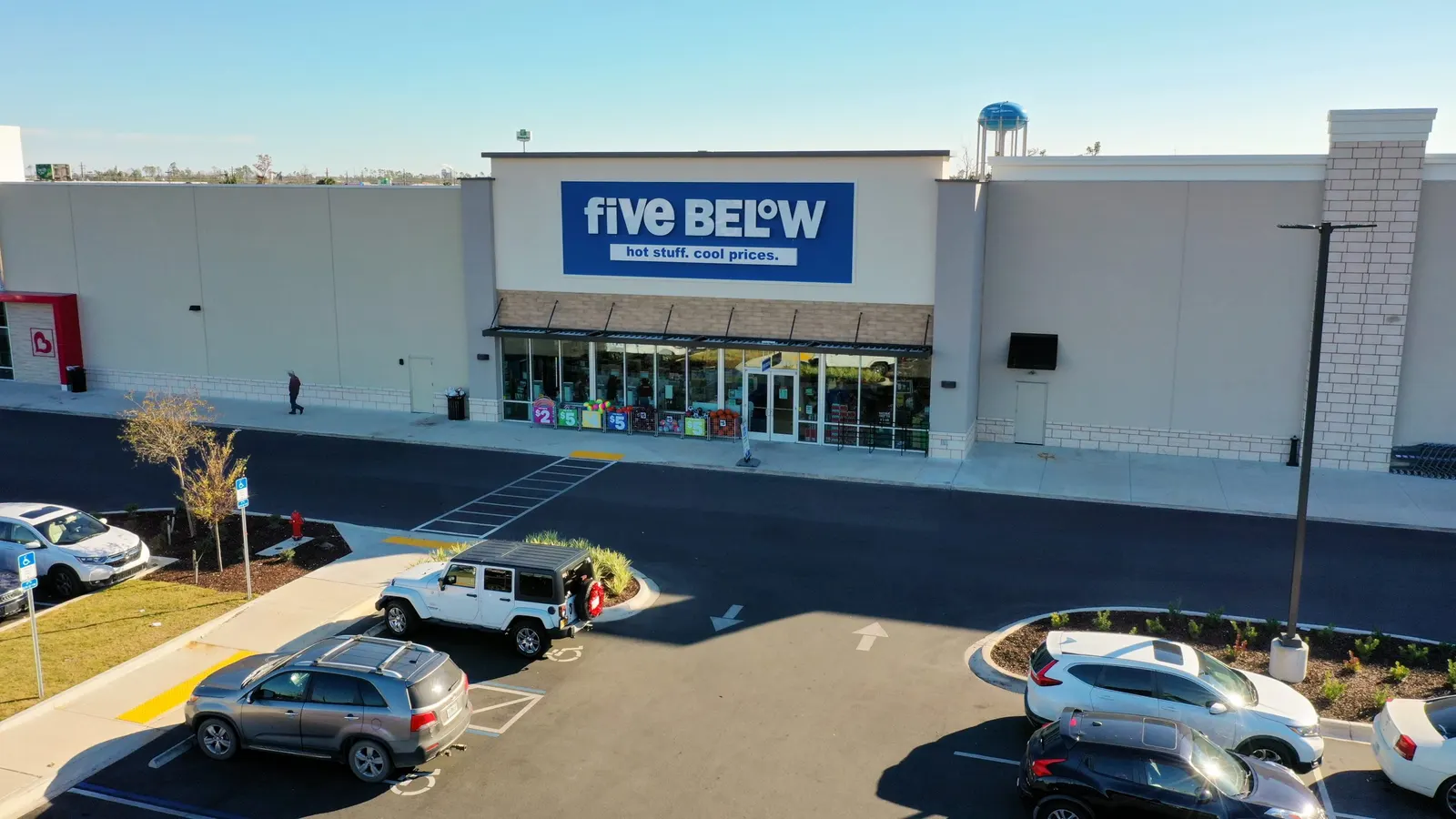
Real estate
Show the building, access, parking, and surrounding development to buyers, tenants, and project partners.
Explore service