Property overviews
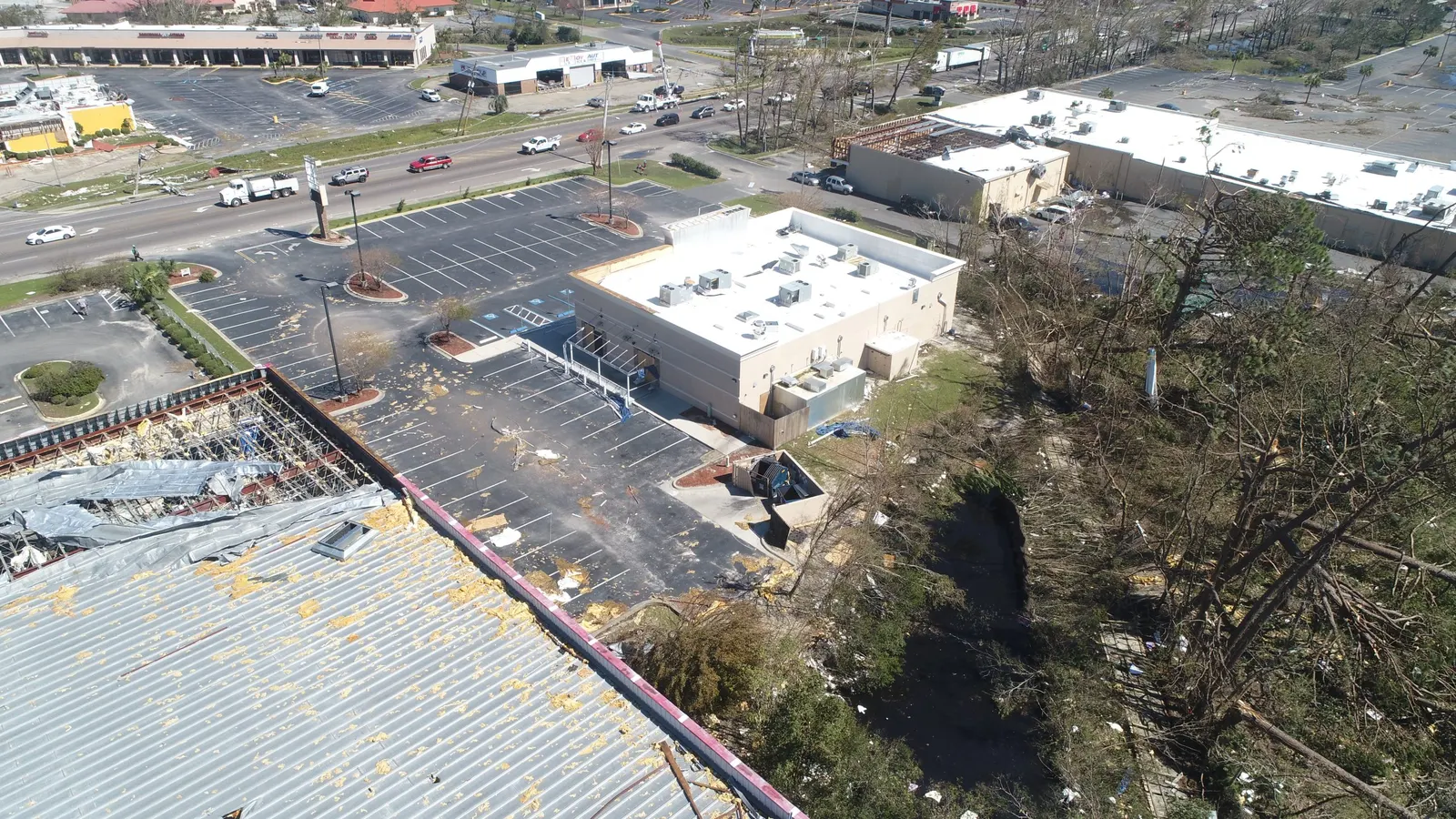
Aerial photographs showing the building and grounds in their current setting.

For homeowners, businesses & reviewing professionals
Keep a clear record of visible exterior conditions as cleanup and repairs change the property. Emerald Coast Drone Pros provides drone storm damage and property documentation in Panama City Beach and nearby counties. Dated overviews and focused photographs help owners, property managers and reviewing professionals locate affected areas and understand what was visible at the visit. Share the current site conditions so we can plan suitable coverage.
Based in Panama City Beach · Bay, Walton, Okaloosa & Gulf counties
Overview
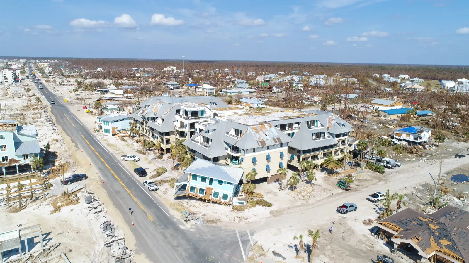
A tight photograph may show a concern without showing which roof, building or side it belongs to. An aerial overview puts that detail back in the setting of the property. Focused views can then draw attention to the surfaces and exterior features that need a closer look.
Your record can include building and grounds overviews, photographs of priority areas and repeat views during cleanup or repair. We discuss the property, the people reviewing the images and the views they need before capture. Dates remain important: the photographs show what was visible during that visit, including any changes already made.
Aerial photographs showing the building and grounds in their current setting.
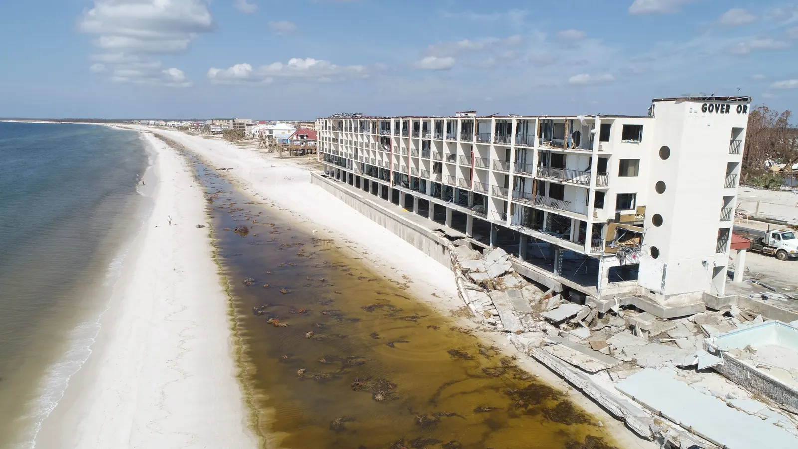
Focused views of the affected exterior features you need recorded.
Later photographs of the same subjects as cleanup or repairs progress.
For an owner who is away, aerial imagery provides a clearer starting point for conversations with the local property manager or contractor. Everyone can refer to the same building and feature instead of trying to match up separate pictures from different phones.
For contractors, overview and detail photographs can help explain the area being discussed before their own site examination. For property files, a dated set provides something to return to after debris has moved or repairs have changed the exterior.
If you have earlier photographs, keep the originals and their dates, and identify the areas you want photographed again. Distinguish pre-storm images, the first available post-storm record and later repair photographs. That sequence helps the person reviewing the files understand what each image actually records.
Our photography
These exterior photographs illustrate the overview and closer views used to explain property conditions. A damage-documentation visit focuses that approach on the affected areas you identify; these examples are not presented as a diagnosis.
Send the address, affected features, site contact and known hazards or access restrictions. Tell us whether temporary protection, cleanup or repairs have started and what is planned next. If a contractor or insurance professional has requested specific photographs, include those instructions.
We review access, weather and flight conditions before confirming a visit. Do not delay necessary protection, cleanup or repairs while waiting for imagery. The capture needs to fit the current site situation; it is not an emergency-response service.
A later visit can document the same visible areas as work progresses. Agreeing those subjects early helps keep the photo sequence focused on the changes you want to record.
If your request is mainly about a roof, focused roof documentation may be the better fit. If rebuilding becomes an ongoing project, construction progress photography can provide a dated record of later milestones.
See drone roof documentation Explore construction progress photographyEmerald Coast Drone Pros is based in Panama City Beach and serves Bay, Walton, Okaloosa and Gulf counties. Share the actual property location and current access conditions so we can discuss a practical visit.
View our service areasGood to know
You can share the dated images with your insurance professional as part of your property records. Ask them what views they need and what documentation they accept. Photography does not determine the cause of damage, structural safety, insurance coverage or a claim outcome.
Yes, when access and flight conditions allow. Let us know what has changed already so the record is understood as the conditions visible on the capture date.
Yes. Identify the areas to compare and share the repair schedule so we can discuss useful follow-up views.
You can arrange the request remotely if there is a suitable local contact to coordinate permission, access and current site information.
Request this service
Send the address, affected areas and the person coordinating access. Include upcoming work and any specific views your contractor or reviewer needs.
Request damage documentationDrone Damage Documentation on Florida’s Emerald Coast.
Based in Panama City Beach, serving Bay County · Walton County · Okaloosa County · Gulf County. Farther trips by request.
More drone services
Roof & property
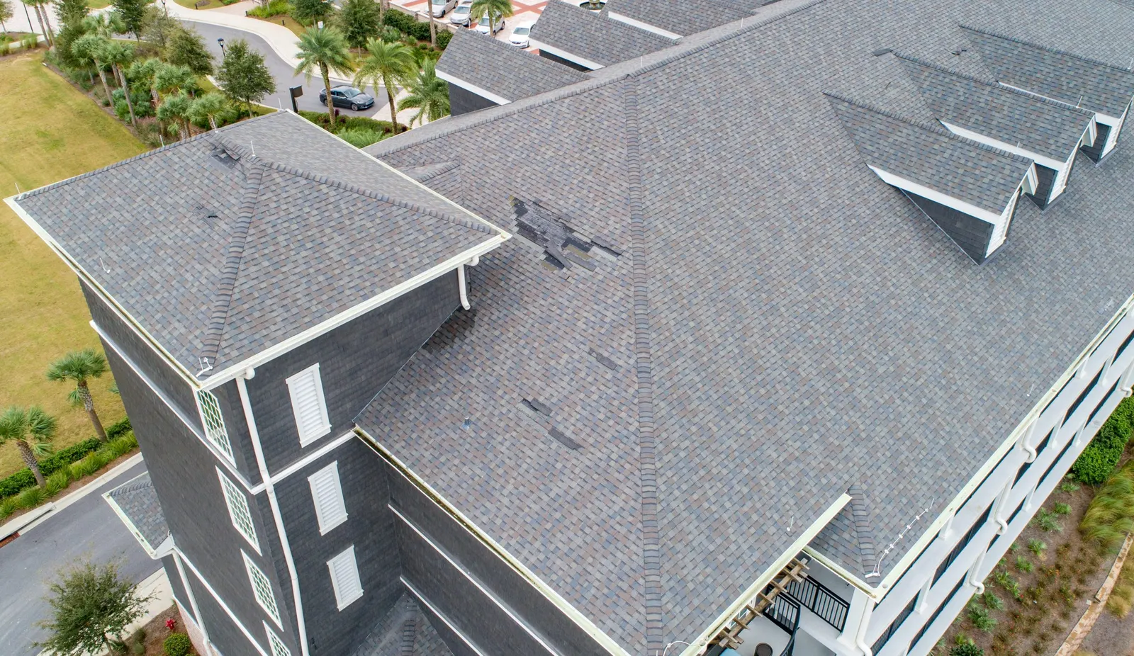
Get roof overviews and detail photographs to discuss visible conditions with your roofer.
Explore service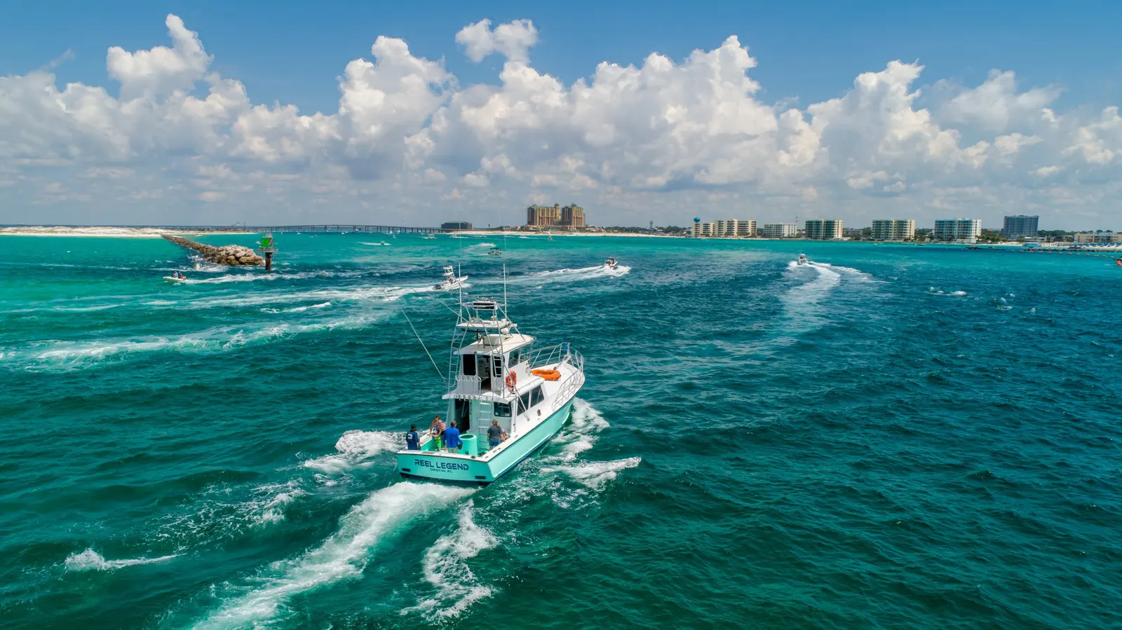
Photography & video
Drone photos and video for personal properties, business websites, promotions, and other aerial shoots.
Explore service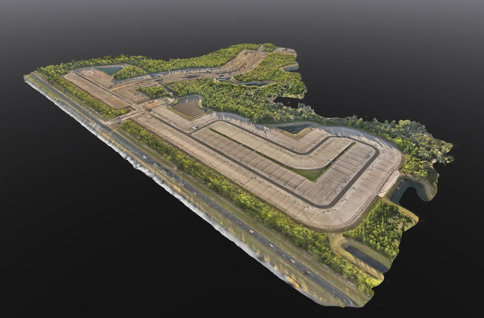
Mapping
Overhead site maps, 3D models and stockpile volume estimates to help you review and document your property.
Explore service