Our Services

3D Mapping and Modeling with Pix4D
Emerald Coast Drone Pros specializes in 3D mapping and modeling using DroneDeploy technology. We provide comprehensive aerial solutions to construction, engineering, and investment firms. Our services leverage the power of drone-enabled technologies to capture precise and detailed 3D models, offering valuable insights for site planning, monitoring, and assessments.
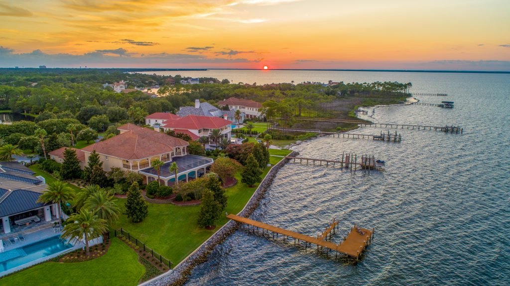
Residential Real Estate
Elevate your property listings with stunning aerial imagery and videos captured by our professional drone services, providing potential buyers with an immersive and comprehensive view of your property.
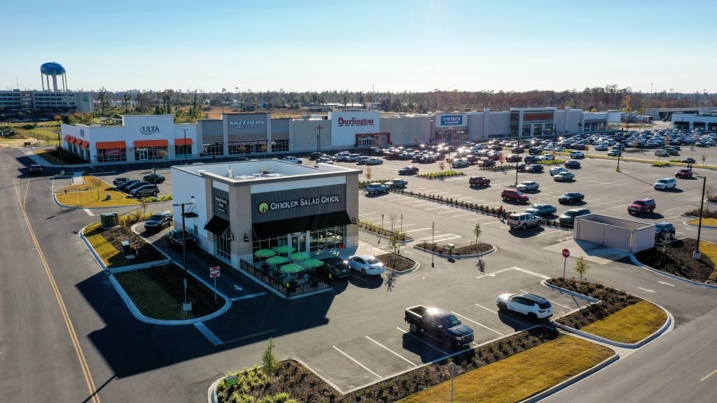
Commercial Real Estate
Showcase your commercial properties with high-quality aerial photography and videography, highlighting key features and providing valuable insights to prospective clients and investors.

Construction Progressive Imagery
Keep track of your construction projects with our drone-based progressive imagery services, providing real-time updates and detailed visuals for investors, builders, and property managers, ensuring efficient project oversight and seamless communication.
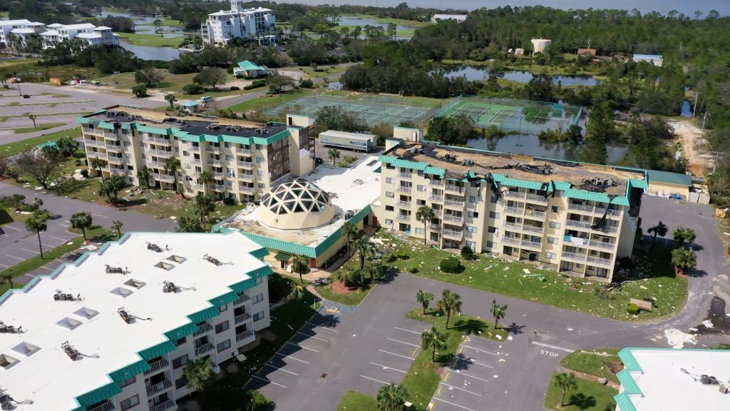
Drone-Based Property Damage Assessments for Insurance Claims
Expedite insurance claims and facilitate recovery efforts with our drone-based property damage assessments, providing accurate and comprehensive data for residential and commercial properties.
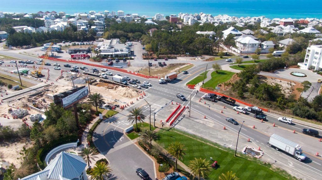
Traffic Inspections and Survey Data
Analyze traffic patterns and optimize transportation planning with our drone-based traffic inspection services, offering valuable data for city planners, engineers, and transportation professionals.
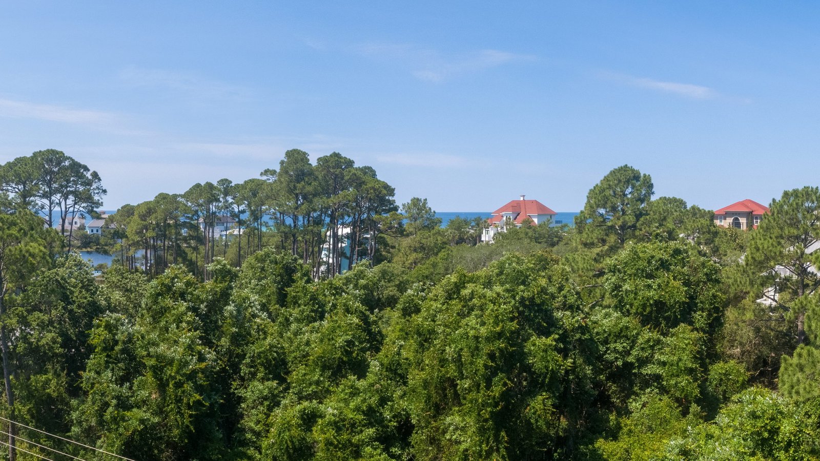
Elevation Imagery
Determine the optimal building height for ocean views with our elevation imagery services, working closely with architects and homebuyers to capture panoramic photos at different elevations, ensuring the perfect view.
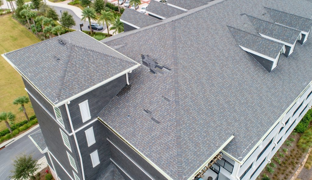
Roof Inspections
Streamline roof inspections and detect potential issues with our drone-based roof inspection services, providing accurate and detailed data for efficient and safe maintenance.

Tourism
Enhance your destination’s appeal and attract visitors with captivating aerial imagery and videos showcasing the beauty and unique features of your location, captured by our professional drone services.

Cell Tower and Powerline Inspection
Enhance maintenance efficiency and ensure the safety of critical infrastructure with our drone-based cell tower and powerline inspection services, providing detailed, accurate, and cost-effective assessments.
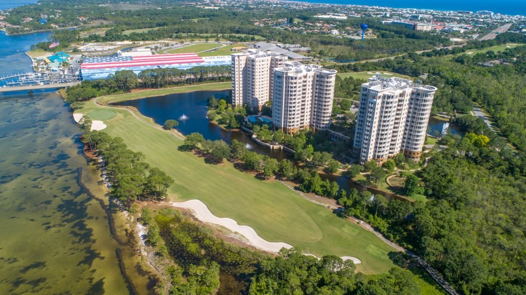
HOA Services
Our HOA services offer valuable solutions to streamline and improve the management of homeowners associations. From aerial photography and drone surveys to maintenance planning and boundary mapping, we provide the tools and expertise to help HOAs effectively oversee their communities. With our services, you can enhance property inspections, optimize communication, and ensure the overall well-being of your HOA.
