Introduction
Overview of 3D mapping technology
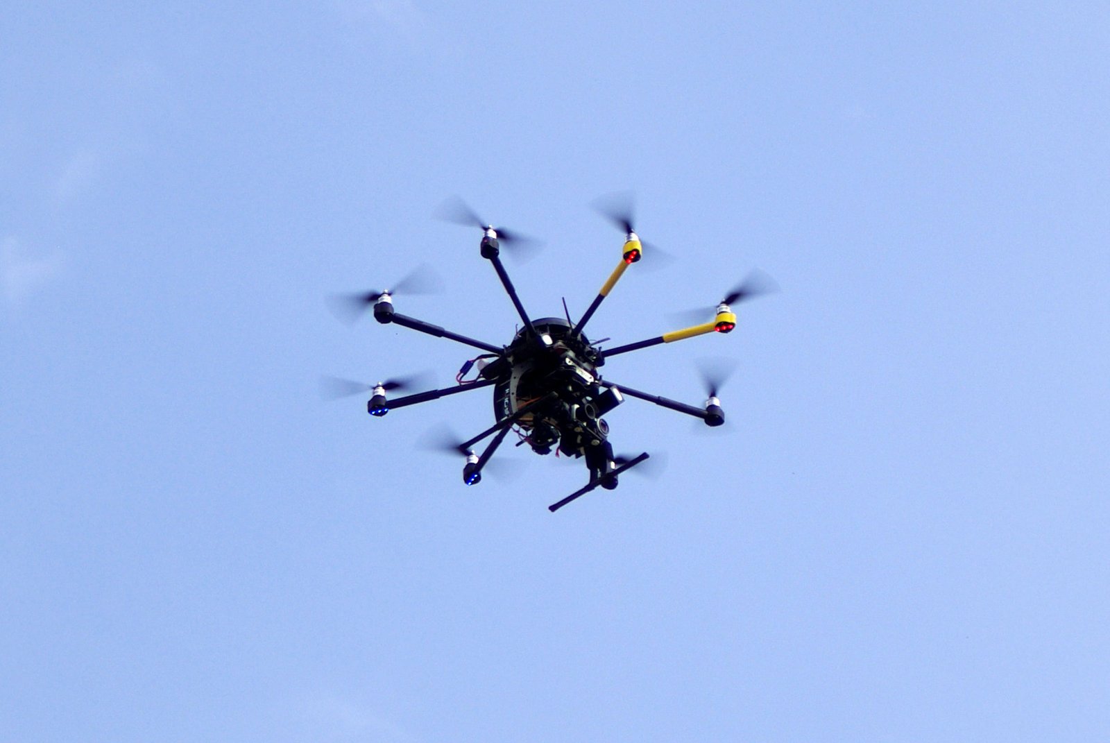
3D mapping technology has emerged as a game-changer in various industries, and the drone services sector is no exception. This innovative technology allows for the creation of highly detailed and accurate 3D models of landscapes, buildings, and objects. By utilizing drones equipped with advanced sensors and cameras, professionals can capture data from different angles and heights, enabling them to generate comprehensive and realistic maps. The applications of 3D mapping technology in industries such as construction, urban planning, agriculture, and archaeology are immense. It has revolutionized the way professionals gather information, make informed decisions, and streamline their operations. With its ability to provide precise measurements, identify potential risks, and visualize complex data, 3D mapping technology has become an indispensable tool for businesses looking to enhance efficiency, reduce costs, and improve overall productivity.
Importance of drone services in the industry
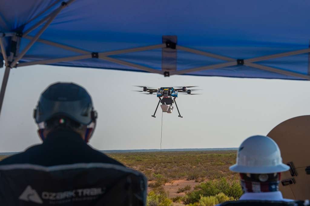
Drone services have become increasingly important in the industry due to the revolutionary technology of 3D mapping. With the ability to capture detailed aerial imagery, drones have transformed the way businesses operate in various sectors such as construction, agriculture, and surveying. The use of drones in these industries allows for more accurate and efficient data collection, enabling companies to make informed decisions and streamline their operations. Additionally, drones offer a cost-effective solution compared to traditional methods, as they eliminate the need for expensive equipment and manpower. Overall, the importance of drone services in the industry cannot be overstated, as they continue to revolutionize the way businesses operate and provide valuable insights for decision-making.
Purpose of the article
The purpose of this article is to explore the ways in which drone services are revolutionizing the industry through the use of 3D mapping technology. With advancements in drone technology, businesses are now able to capture detailed aerial imagery and create accurate 3D maps of various terrains and structures. This technology has numerous applications across industries such as construction, agriculture, surveying, and environmental monitoring. By providing a cost-effective and efficient solution for data collection and analysis, drone services are transforming the way businesses operate and make informed decisions. This article aims to highlight the benefits and potential of 3D mapping technology in revolutionizing different sectors and driving innovation in the industry.
Applications of 3D Mapping Technology

Urban planning and development
Urban planning and development have greatly benefited from the advancements in 3D mapping technology and the use of drone services. With the ability to capture highly detailed aerial images and create accurate 3D models of urban areas, planners and developers now have access to valuable data that can inform their decision-making processes. This technology allows for a more comprehensive understanding of the existing infrastructure, topography, and land use, enabling more efficient and sustainable urban development. Additionally, the use of drones in urban planning and development reduces the time and cost associated with traditional surveying methods, making it an attractive option for cities and developers alike. Overall, 3D mapping technology and drone services have revolutionized the industry by providing new tools and insights that contribute to smarter and more effective urban planning and development.
Environmental monitoring and conservation
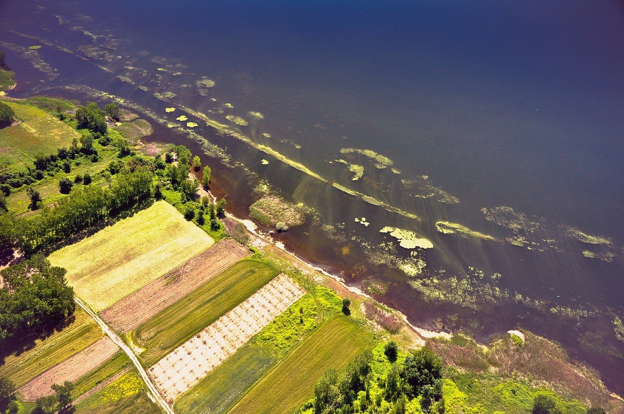
Environmental monitoring and conservation is one of the key areas where 3D mapping technology and drone services are revolutionizing the industry. With the ability to capture high-resolution aerial images and create accurate 3D models of the environment, drones are providing valuable data for monitoring and managing natural resources. This technology is being used for various applications, such as tracking deforestation, monitoring wildlife populations, and assessing the impact of climate change on ecosystems. By enabling efficient and cost-effective data collection, 3D mapping technology and drone services are playing a crucial role in understanding and protecting our environment.
Construction and infrastructure management
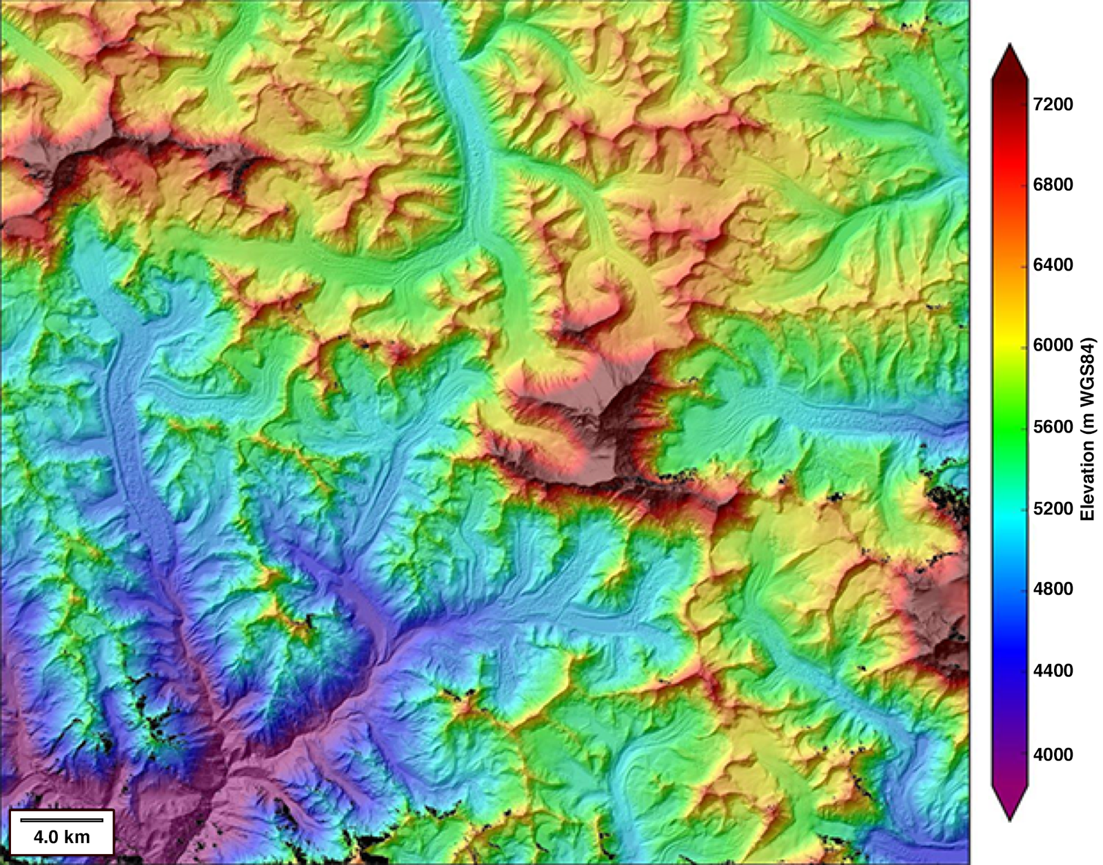
Construction and infrastructure management is one area where 3D mapping technology and drone services have made a significant impact. With the ability to capture high-resolution aerial images and create detailed 3D models, drones have revolutionized the way construction projects are planned and managed. By using drones, construction companies can quickly and accurately survey large areas, identify potential issues, and monitor progress in real-time. This not only saves time and resources but also improves safety by reducing the need for manual inspections. Furthermore, the data collected by drones can be used to create accurate topographic maps, detect changes in terrain, and even simulate different construction scenarios. Overall, the integration of 3D mapping technology and drone services has transformed construction and infrastructure management, making it more efficient, cost-effective, and precise.
Advantages of Drone Services in 3D Mapping
Cost-effective and efficient data collection
Cost-effective and efficient data collection is a key advantage of using 3D mapping technology and drone services in various industries. Traditionally, data collection required extensive manual labor and costly equipment, often resulting in delays and inaccuracies. However, with the advent of 3D mapping technology, drones equipped with high-resolution cameras and LiDAR sensors can quickly and accurately capture data from different angles and perspectives. This eliminates the need for manual measurements and reduces the time and cost associated with data collection. By utilizing drone services for 3D mapping, businesses can streamline their operations, improve decision-making processes, and ultimately revolutionize their industries.
Enhanced safety and accessibility
Enhanced safety and accessibility are two key advantages of using 3D mapping technology in the drone services industry. By utilizing drones equipped with advanced mapping capabilities, companies can conduct aerial surveys and inspections more efficiently and with reduced risk to human workers. This technology allows for the collection of detailed data from hard-to-reach or hazardous areas, such as construction sites or disaster zones, without putting personnel in harm’s way. Additionally, the accessibility of 3D mapping technology enables companies to gather accurate and up-to-date information quickly, which can aid in making informed decisions and improving overall project management.
High-resolution and accurate mapping
High-resolution and accurate mapping is one of the key advantages of 3D mapping technology powered by drone services. With the ability to capture detailed images and data from various angles and heights, drones provide a level of precision that was previously unattainable. This technology enables professionals in industries such as construction, agriculture, and urban planning to create highly detailed maps, models, and visualizations. The high-resolution and accurate mapping capabilities of drone services are revolutionizing these industries by enhancing efficiency, reducing costs, and improving decision-making processes.
Challenges and Limitations

Regulatory restrictions and privacy concerns
Regulatory restrictions and privacy concerns have become significant challenges for the widespread adoption of 3D mapping technology and drone services. As the use of drones for mapping and surveying purposes continues to increase, governments around the world are implementing strict regulations to ensure safety and privacy. These regulations often include restrictions on flight altitude, flight zones, and data collection. Additionally, privacy concerns arise due to the ability of drones to capture detailed imagery and collect sensitive information. To address these concerns, drone service providers are working closely with regulatory bodies to develop guidelines and best practices for responsible drone use. It is crucial for the industry to strike a balance between innovation and protecting the privacy rights of individuals and organizations.
Technical limitations and data processing
Technical limitations and data processing are key challenges faced in the implementation of 3D mapping technology using drone services. One of the main limitations is the accuracy and resolution of the data collected by the drones. While drones have the ability to capture aerial images and create detailed 3D maps, the quality of these maps can be affected by factors such as weather conditions, sensor limitations, and the stability of the drone during flight. Additionally, processing the large amount of data collected by the drones can be time-consuming and resource-intensive. Advanced algorithms and powerful computing systems are required to efficiently process and analyze the data, transforming it into accurate and actionable information. Overcoming these technical limitations and optimizing the data processing workflow are crucial for the successful implementation of 3D mapping technology using drone services.
Weather conditions and environmental factors
Weather conditions and environmental factors play a crucial role in the effectiveness and safety of using 3D mapping technology through drone services. The accuracy and quality of the data collected heavily depend on favorable weather conditions, such as clear skies and minimal wind. Adverse weather conditions, such as heavy rain, fog, or strong winds, can significantly impact the drone’s ability to capture precise and detailed images. Additionally, environmental factors like the presence of obstacles or uneven terrain can also affect the drone’s maneuverability and its ability to accurately map an area. Therefore, it is essential for drone operators and mapping professionals to closely monitor weather conditions and environmental factors to ensure optimal results and minimize potential risks.
Case Studies
Mapping archaeological sites with drones
Mapping archaeological sites with drones has become a game-changer in the field of archaeology. With the advent of 3D mapping technology, drones have revolutionized the way we explore and document ancient sites. These unmanned aerial vehicles are equipped with high-resolution cameras and LiDAR sensors, allowing archaeologists to capture detailed images and collect precise data from above. By using drones, researchers can efficiently survey large areas, identify hidden structures, and create accurate digital models of archaeological sites. This not only saves time and resources but also provides a non-invasive method of studying and preserving our cultural heritage. The use of drone services in mapping archaeological sites has opened up new possibilities for archaeological research, enabling us to uncover the secrets of the past with unprecedented accuracy and efficiency.
Monitoring wildlife habitats using 3D mapping
Monitoring wildlife habitats using 3D mapping is a groundbreaking application of drone services in the industry. With the help of advanced 3D mapping technology, researchers and conservationists can now accurately assess and monitor wildlife habitats with unprecedented detail and precision. By capturing high-resolution aerial imagery and creating detailed 3D models, drones enable scientists to analyze and understand the complex ecosystems that support various species. This innovative approach not only provides valuable insights into the health and biodiversity of wildlife habitats but also aids in the development of effective conservation strategies. By leveraging the power of 3D mapping, drone services are revolutionizing the way we study and protect wildlife habitats, paving the way for more sustainable and informed conservation efforts.
Mapping construction sites for project management
Mapping construction sites for project management is a crucial aspect of the construction industry. With the advent of 3D mapping technology and drone services, the industry has witnessed a revolution in how construction projects are planned, monitored, and executed. By using drones equipped with high-resolution cameras, construction companies can now capture detailed aerial images of construction sites, allowing project managers to have a comprehensive view of the entire site. This technology enables them to accurately measure distances, identify potential hazards, and track progress in real-time. Additionally, 3D mapping technology provides valuable data that can be used for site analysis, cost estimation, and resource allocation. Overall, the integration of 3D mapping technology and drone services has significantly improved efficiency, safety, and productivity in the construction industry.
Future Trends and Innovations

Integration of artificial intelligence and machine learning
Integration of artificial intelligence and machine learning has played a pivotal role in the advancement of 3D mapping technology through drone services. By harnessing the power of AI and ML algorithms, drones are able to process vast amounts of data collected during mapping missions, allowing for more accurate and efficient mapping results. AI and ML algorithms enable drones to identify and classify objects, detect patterns, and make predictions based on the data they collect. This integration has not only improved the accuracy of 3D mapping but has also reduced the time and cost associated with traditional mapping methods. As a result, industries such as construction, agriculture, and urban planning are benefiting from the transformative capabilities of AI and ML in the field of 3D mapping technology.
Advancements in LiDAR technology
Advancements in LiDAR technology have played a significant role in revolutionizing the drone services industry. LiDAR, which stands for Light Detection and Ranging, is a remote sensing method that uses laser light to measure distances and create detailed 3D maps of the environment. In recent years, there have been remarkable improvements in LiDAR sensors, making them more accurate, compact, and cost-effective. These advancements have enabled drones to capture high-resolution data with precision and speed, opening up new possibilities for applications such as terrain mapping, infrastructure inspection, and environmental monitoring. With the integration of LiDAR technology, drone services have become indispensable tools for various industries, offering efficient and cost-effective solutions for complex mapping and surveying tasks.
Real-time mapping and data analysis
Real-time mapping and data analysis have become essential tools in various industries, and the advent of 3D mapping technology has revolutionized the way drone services are utilized. With real-time mapping, drones equipped with advanced sensors and cameras can capture high-resolution images and data, allowing for accurate and up-to-date mapping of landscapes, infrastructure, and even archaeological sites. This technology enables professionals in fields such as construction, agriculture, and environmental monitoring to make informed decisions based on real-time data analysis, leading to improved efficiency, cost savings, and better resource management. Real-time mapping and data analysis have truly transformed the industry, providing unprecedented insights and opportunities for innovation.


