Introduction
The rise of drone technology
Drone technology has experienced a significant rise in recent years, revolutionizing various industries, including landscaping. With the ability to capture stunning aerial views and gather precise data, drones have become an invaluable tool for landscaping professionals. They provide a bird’s-eye view of the landscape, allowing for detailed analysis and planning. This technology enables landscapers to identify potential issues, such as drainage problems or areas of soil erosion, that may not be easily visible from ground level. By using drone services, landscapers can efficiently assess the condition of large properties and design more accurate landscaping plans. The rise of drone technology has opened up new possibilities in the field of landscaping, enhancing efficiency and precision in the creation and maintenance of outdoor spaces.
Benefits of using drones in landscaping
Drones have revolutionized the field of landscaping by providing a bird’s-eye view of the land. This unique perspective allows landscapers to identify potential issues and plan their projects more efficiently. One of the key benefits of using drones in landscaping is the ability to survey large areas of land in a short amount of time. This saves both time and resources, as traditional land surveys can be time-consuming and expensive. Additionally, drones can capture high-resolution images and videos, providing detailed information about the land and its features. This data can be used to create accurate 3D models and maps, helping landscapers visualize their designs and make informed decisions. Moreover, drones can reach inaccessible or hazardous areas, allowing landscapers to assess and maintain landscapes that would otherwise be difficult to access. Overall, the use of drones in landscaping offers numerous advantages, including increased efficiency, cost savings, and improved accuracy.
Overview of the article
In this article, we will explore the fascinating world of landscaping with drone services. Drones have revolutionized the way we approach landscaping, providing a unique perspective and allowing us to capture stunning aerial views of our outdoor spaces. We will delve into the various applications of drone technology in landscaping, from surveying and mapping to design visualization and maintenance. Additionally, we will discuss the benefits and challenges of using drones in the landscaping industry, highlighting the potential for increased efficiency, cost-effectiveness, and creativity. Join us as we take a bird’s-eye view of the exciting possibilities that drone services bring to the world of landscaping.
Understanding Drone Services

What are drone services?
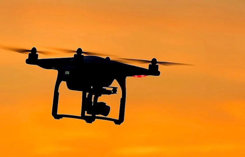
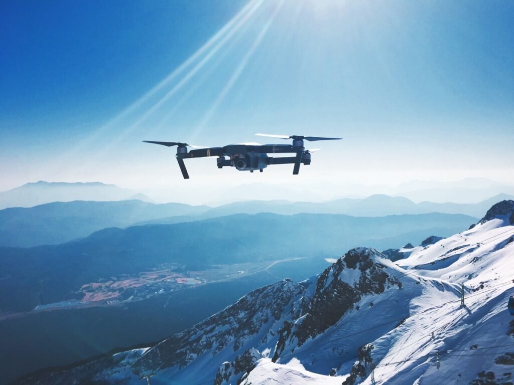
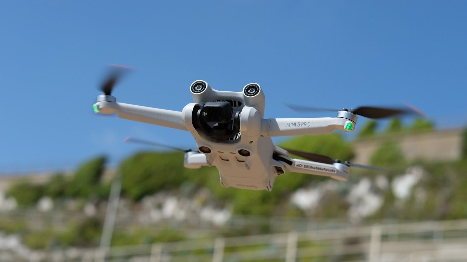
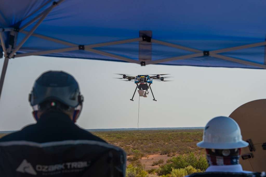
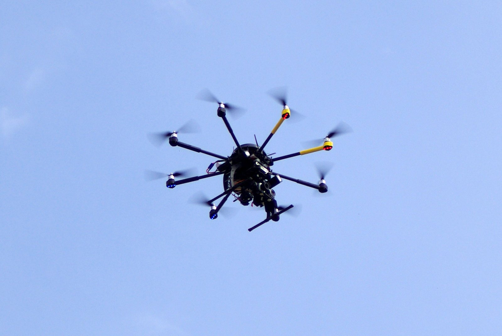
Drone services refer to the use of unmanned aerial vehicles (UAVs) for various purposes, such as aerial photography, videography, and surveying. These drones are equipped with high-resolution cameras and advanced technology, allowing them to capture stunning aerial views of landscapes. With drone services, landscapers and outdoor enthusiasts can gain a bird’s-eye perspective of their surroundings, enabling them to plan and design landscaping projects more effectively. Additionally, drone services provide a cost-effective and efficient way to gather data and assess the condition of large areas of land. By utilizing drone technology, the process of landscaping can be revolutionized, offering new possibilities and opportunities for creative and precise outdoor design.
Types of drone services in landscaping
In the world of landscaping, drone services have emerged as a revolutionary tool for capturing a bird’s-eye view of outdoor spaces. These services offer a unique perspective that allows landscapers to assess and plan their projects more effectively. There are several types of drone services available in the field of landscaping. Aerial photography and videography is one such service that provides stunning visuals of landscapes from above. This allows landscapers to showcase their work, attract clients, and create captivating marketing materials. Another type of drone service is aerial surveying, which enables landscapers to gather precise data about the terrain, topography, and vegetation of a site. This information is invaluable for designing and implementing landscaping projects with accuracy and efficiency. Additionally, drones can be used for mapping and 3D modeling, providing detailed and realistic representations of outdoor spaces. Overall, the use of drone services in landscaping has revolutionized the industry, offering innovative solutions and enhancing the way landscapers approach their work.
How drone services are transforming the industry
Drone services have revolutionized the landscaping industry, providing a bird’s-eye view that was previously unattainable. With the ability to capture high-resolution aerial images and videos, drones offer a unique perspective that allows landscapers to assess large areas of land quickly and efficiently. This technology has transformed the way landscaping projects are planned and executed, enabling professionals to identify potential issues, design more accurate layouts, and make informed decisions. Additionally, drone services have improved safety measures by reducing the need for manual inspections and minimizing the risks associated with working at heights. Overall, the integration of drone services has significantly enhanced the efficiency, precision, and safety of landscaping operations, making it an indispensable tool in the industry’s evolution.
Advantages of Landscaping with Drones
Improved efficiency and accuracy
Improved efficiency and accuracy are two key advantages of utilizing drone services for landscaping. With the ability to capture high-resolution aerial images and videos, drones provide a bird’s-eye view of the landscape, allowing landscapers to assess the terrain and plan their projects more effectively. By eliminating the need for manual inspections and measurements, drone services save time and resources, resulting in increased efficiency. Additionally, the accuracy of drone data ensures precise measurements and detailed analysis, leading to better decision-making and more successful landscaping outcomes. Overall, incorporating drone services into the landscaping process brings significant improvements in efficiency and accuracy, revolutionizing the way landscapes are designed and maintained.
Cost savings and time optimization
Cost savings and time optimization are two key advantages of utilizing drone services for landscaping. By using drones, companies can significantly reduce costs associated with traditional methods such as manual labor and equipment. Drones can efficiently survey large areas of land, capturing detailed images and data in a fraction of the time it would take for a human to do the same. This not only saves time but also allows for quicker decision-making and planning. Additionally, drones can access hard-to-reach or hazardous areas, eliminating the need for workers to put themselves at risk. Overall, the use of drone services in landscaping offers a cost-effective and time-efficient solution that can greatly benefit businesses in the industry.
Access to hard-to-reach areas
Access to hard-to-reach areas is one of the key advantages of using drone services for landscaping. Drones can easily navigate through tight spaces and fly over obstacles, allowing them to access areas that are difficult or dangerous for humans to reach. Whether it’s a steep hillside, a rooftop garden, or a dense forest, drones provide a bird’s-eye view and enable landscapers to assess and plan their projects more effectively. By using drones, landscapers can save time and effort in accessing these areas, ultimately improving the efficiency and quality of their work.
Applications of Drone Services in Landscaping
Aerial photography and videography
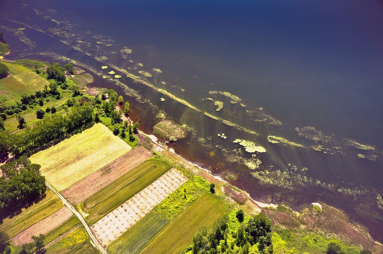
Aerial photography and videography have revolutionized the field of landscaping, thanks to the advent of drone services. These advanced technologies provide a bird’s-eye view of landscapes, allowing professionals to capture stunning images and videos from unique angles and perspectives. With drones, landscapers can now easily survey large areas, identify potential issues, and plan their projects more efficiently. The detailed and high-resolution images obtained from aerial photography and videography help in creating accurate 3D models, which aid in designing and visualizing landscaping ideas. Moreover, these visuals can be used to showcase the beauty and functionality of completed projects to potential clients. Overall, aerial photography and videography have become indispensable tools for modern landscapers, enabling them to enhance their creativity, precision, and client satisfaction.
Mapping and surveying
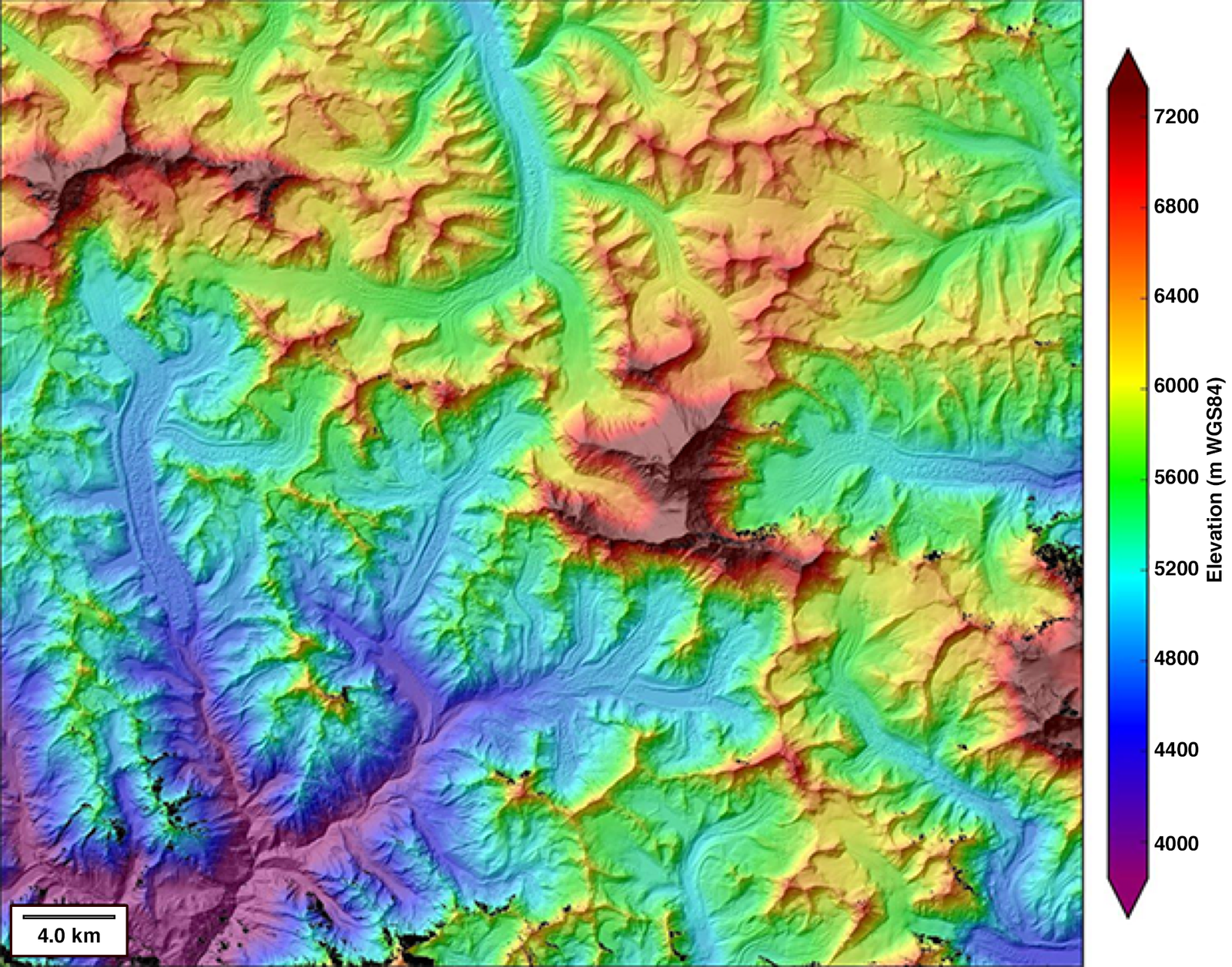
Mapping and surveying are essential aspects of landscaping with drone services. Drones provide a unique perspective and enable professionals to gather accurate data about the land. By using advanced mapping software, these services can create detailed maps and 3D models of the terrain. This information is crucial for designing and planning landscaping projects, as it allows for a comprehensive understanding of the land’s topography, elevation, and potential obstacles. Additionally, drone surveying can help identify areas that require maintenance or improvement, such as drainage issues or uneven ground. Overall, the use of drones in mapping and surveying enhances the efficiency and precision of landscaping services, ultimately resulting in stunning and well-designed outdoor spaces.
Plant health monitoring
Plant health monitoring is an essential aspect of modern landscaping practices, and drone services have revolutionized this field. With the ability to capture high-resolution aerial images, drones provide a bird’s-eye view of the landscape, enabling professionals to closely monitor the health of plants. By analyzing these images, experts can detect early signs of diseases, nutrient deficiencies, or pest infestations, allowing for timely intervention and preventive measures. This proactive approach not only ensures the well-being of the plants but also helps in maintaining the overall aesthetic appeal of the landscape. The use of drone services for plant health monitoring has significantly improved the efficiency and accuracy of landscaping practices, making it an indispensable tool for landscapers and garden enthusiasts alike.
Challenges and Limitations

Regulatory restrictions and compliance
Regulatory restrictions and compliance play a significant role in the use of drone services for landscaping. As drones become more prevalent in various industries, including landscaping, it is crucial to adhere to the rules and regulations set by the governing authorities. These regulations are in place to ensure the safety and privacy of individuals and property. Landscaping companies utilizing drone services must obtain the necessary permits and licenses, follow flight restrictions, and maintain compliance with privacy laws. By doing so, they can provide their clients with a bird’s-eye view of their property while operating within the legal framework.
Weather conditions and environmental factors
Weather conditions and environmental factors play a crucial role in the success of landscaping with drone services. Drones are highly sensitive to weather conditions such as wind, rain, and extreme temperatures. Strong winds can affect the stability and control of the drone, making it difficult to capture accurate aerial images. Similarly, rain can damage the drone’s sensitive equipment and compromise its performance. Moreover, extreme temperatures can affect the battery life and overall functionality of the drone. In addition to weather conditions, environmental factors like the presence of obstacles, vegetation density, and sunlight availability also impact the effectiveness of drone-based landscaping. It is important for landscapers to carefully assess these factors before utilizing drone services to ensure optimal results.
Skills and training requirements
In order to effectively operate drone services for landscaping purposes, individuals must possess a set of skills and undergo specific training. Firstly, a strong understanding of drone technology and its capabilities is essential. This includes knowledge of different drone models, their features, and how to properly operate and maintain them. Additionally, individuals should have a good understanding of landscaping principles and techniques to ensure accurate and precise aerial surveys. Training programs focusing on drone piloting, aerial photography, and mapping can provide individuals with the necessary expertise to navigate and capture high-quality images of landscapes. Furthermore, it is crucial for drone operators to be well-versed in safety protocols and regulations to ensure the responsible and lawful use of drones in landscaping projects. By possessing the required skills and training, professionals can utilize drone services to gain a comprehensive bird’s-eye view of landscapes, resulting in improved planning, design, and maintenance of outdoor spaces.
Future Trends in Landscaping with Drones
Integration of artificial intelligence and machine learning
Integration of artificial intelligence and machine learning has revolutionized the field of landscaping with drone services. By harnessing the power of AI and ML algorithms, drones are now capable of autonomously surveying and analyzing landscapes, providing valuable insights to landscapers and property owners. These advanced technologies have significantly improved the efficiency and accuracy of landscaping projects, allowing for precise mapping, vegetation analysis, and even predictive maintenance. With AI and ML integration, drone services are not only enhancing the visual aspects of landscaping but also optimizing resource allocation and decision-making processes. As a result, the integration of artificial intelligence and machine learning has opened up new possibilities in the world of landscaping, enabling professionals to create breathtaking outdoor spaces with greater precision and sustainability.
Enhanced data analytics and predictive modeling
Enhanced data analytics and predictive modeling have revolutionized the field of landscaping with drone services. With the advanced capabilities of drones, landscapers can now gather detailed data and imagery of landscapes, allowing them to analyze and understand various aspects such as vegetation health, drainage patterns, and soil composition. This wealth of information enables landscapers to make informed decisions and develop predictive models to optimize their landscaping strategies. By harnessing the power of data analytics and predictive modeling, drone services have taken landscaping to new heights, providing more accurate and efficient solutions for clients.
Development of specialized drone technologies
The development of specialized drone technologies has revolutionized the field of landscaping. With the advent of drones, landscapers now have the ability to capture stunning aerial footage and images of landscapes, providing a unique perspective that was previously inaccessible. These drones are equipped with advanced cameras and sensors, allowing them to capture high-resolution images and gather data on various aspects of the landscape, such as vegetation health, irrigation needs, and potential areas for improvement. This data can then be analyzed to make informed decisions and create customized landscaping plans. Additionally, drones can be used to survey large areas of land quickly and efficiently, saving time and resources. Overall, the development of specialized drone technologies has greatly enhanced the efficiency and effectiveness of landscaping services, enabling landscapers to create breathtaking outdoor spaces with precision and accuracy.


