Introduction
Overview of surveying in the construction industry
Surveying plays a crucial role in the construction industry, providing accurate measurements and data that are essential for the planning, design, and construction of buildings and infrastructure. Traditionally, surveying involved manual methods and equipment, which were time-consuming and labor-intensive. However, with the advancements in technology, particularly the use of drones, surveying in the construction industry has undergone a significant transformation. Drone services have revolutionized the way surveys are conducted, allowing for faster and more efficient data collection, improved accuracy, and enhanced safety. By utilizing drones, construction professionals can now easily capture aerial images, create detailed topographic maps, and perform 3D modeling, providing valuable insights and information for decision-making throughout the construction process. The integration of drone services in surveying has not only increased productivity but has also reduced costs and mitigated risks, making it an indispensable tool in the future of surveying in the construction industry.
Importance of accurate measurements in construction
Accurate measurements play a crucial role in the construction industry, and their importance cannot be overstated. In any construction project, precise measurements are essential for ensuring that all components fit together seamlessly and that the final structure meets safety and quality standards. Without accurate measurements, the entire construction process can be compromised, leading to costly errors, delays, and even potential hazards. With the advent of drone services in the industry, the accuracy of measurements has been significantly enhanced. Drones equipped with advanced sensors and imaging technology can capture precise measurements of large areas quickly and efficiently, eliminating the need for manual measurements and reducing human error. As a result, construction professionals can rely on the data collected by drones to make informed decisions, optimize project timelines, and improve overall construction efficiency. The integration of drone services in the construction industry marks a significant step towards achieving greater accuracy in measurements, ultimately leading to safer, more efficient, and higher quality construction projects.
Challenges faced in traditional surveying methods
Traditional surveying methods in the construction industry have long been plagued by numerous challenges. One of the major challenges is the time-consuming nature of the process. Traditional surveying methods often require manual measurements and data collection, which can be a slow and labor-intensive task. Additionally, traditional surveying methods are prone to human error, as the accuracy of measurements heavily relies on the skills and experience of the surveyors. Another challenge is the limited accessibility of certain areas, especially in complex construction sites. Surveyors may face difficulties in accessing hard-to-reach locations, which can hinder the accuracy and efficiency of the surveying process. However, with the advent of drone services in the construction industry, these challenges are being overcome. Drones offer a faster and more accurate alternative to traditional surveying methods, as they can quickly capture high-resolution aerial images and collect data in a fraction of the time. Moreover, drones can easily navigate through complex construction sites, providing access to areas that are otherwise difficult to reach. As a result, the future of surveying in the construction industry is being revolutionized by the use of drone services.
Advantages of Drone Services

Increased efficiency and productivity
Increased efficiency and productivity are two key benefits that drone services bring to the construction industry. By utilizing drones for surveying, construction companies can significantly reduce the time and effort required for traditional surveying methods. Drones are able to quickly capture accurate data and generate detailed maps and models, allowing for faster decision-making and more efficient project planning. Additionally, drones can access hard-to-reach areas and provide real-time monitoring, enabling construction teams to identify and address issues promptly. With the implementation of drone services, construction projects can be completed more efficiently, resulting in cost savings and improved overall productivity.
Cost savings
Cost savings are one of the key advantages of using drone services in the construction industry. Traditional surveying methods often require significant manpower and resources, leading to high costs. However, with the introduction of drones, surveying tasks can be completed more efficiently and at a lower cost. Drones can quickly capture accurate data from various angles and heights, eliminating the need for manual measurements and reducing the time spent on site. Additionally, drones can cover large areas in a short amount of time, reducing the overall surveying time and costs. Overall, the integration of drone services in the construction industry offers substantial cost savings, making it a valuable investment for companies in the long run.
Improved safety
Improved safety is one of the key advantages that drone services bring to the construction industry. By using drones for surveying purposes, construction companies can significantly reduce the risks associated with traditional surveying methods. With drones, workers no longer need to physically access hazardous areas or climb tall structures to collect data. This not only minimizes the chances of accidents and injuries but also saves valuable time and resources. Additionally, drones can be equipped with advanced imaging technologies and sensors to detect potential safety hazards on construction sites, such as unstable structures or hazardous materials. This proactive approach allows construction companies to address safety concerns promptly and take appropriate measures to prevent accidents before they occur. Overall, the integration of drone services in the construction industry enhances safety standards and promotes a safer working environment for all stakeholders involved.
Applications of Drone Services in Construction

Site mapping and surveying
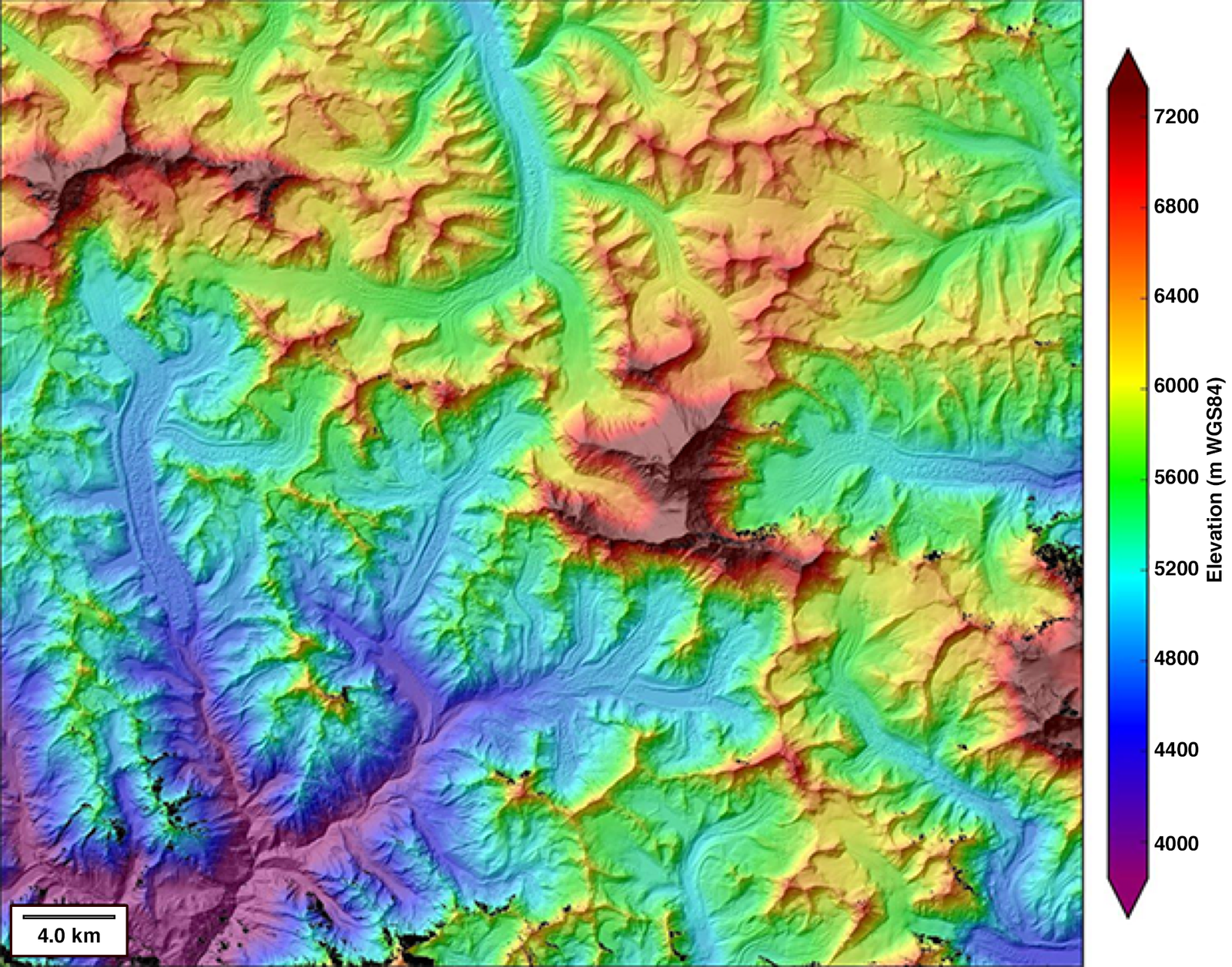
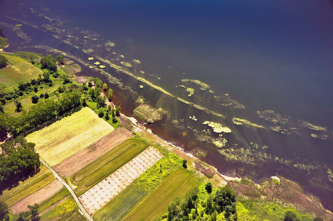
Site mapping and surveying play a crucial role in the construction industry, providing accurate and detailed information about the land and its features. With the advent of drone services, the future of surveying has been revolutionized. Drones equipped with advanced imaging technology can quickly and efficiently capture aerial images and create high-resolution maps of construction sites. This not only saves time and resources but also enhances the accuracy of measurements and reduces human error. Additionally, drone services enable surveyors to access hard-to-reach areas and obtain data that would otherwise be difficult to obtain. As the construction industry continues to embrace drone technology, site mapping and surveying will become even more streamlined and efficient, paving the way for improved project planning and execution.
Monitoring construction progress
Monitoring construction progress is a crucial aspect of any construction project, as it allows for the timely identification of any issues or delays that may arise. With the advent of drone services in the construction industry, monitoring construction progress has become more efficient and accurate than ever before. Drones equipped with high-resolution cameras can capture detailed aerial images and videos of the construction site, providing a comprehensive view of the progress made. This enables project managers and stakeholders to monitor the construction site remotely and make informed decisions based on real-time data. Additionally, drones can be programmed to fly over the construction site at regular intervals, capturing images and videos at predetermined locations. This allows for the creation of time-lapse videos, which provide a visual representation of the construction progress over time. Overall, the integration of drone services in the construction industry has revolutionized the way construction progress is monitored, leading to improved efficiency, cost-effectiveness, and safety.
Inspection of hard-to-reach areas
Inspection of hard-to-reach areas is one of the key benefits of using drone services in the construction industry. Traditionally, inspecting areas that are difficult to access, such as rooftops, tall structures, or confined spaces, required manual labor and sometimes even specialized equipment. However, with the advancements in drone technology, construction companies can now easily and safely inspect these areas using drones. Drones equipped with high-resolution cameras and sensors can capture detailed images and data, allowing for a thorough analysis of the condition of these hard-to-reach areas. This not only saves time and effort but also reduces the risk of accidents and injuries associated with manual inspections. By leveraging drone services, construction companies can ensure that no area goes unnoticed and make informed decisions based on accurate and up-to-date information.
Regulations and Legal Considerations

FAA regulations for commercial drone use
The use of drones in the construction industry has revolutionized surveying practices, providing unprecedented accuracy and efficiency. However, the Federal Aviation Administration (FAA) has implemented regulations to ensure the safe and responsible use of commercial drones. These regulations include obtaining a remote pilot certificate, adhering to airspace restrictions, and conducting pre-flight inspections. By enforcing these regulations, the FAA aims to mitigate potential risks and promote the integration of drones into the construction industry in a controlled manner. As a result, companies in the construction industry must comply with these regulations to harness the benefits of drone services while maintaining safety and compliance.
Privacy concerns
Privacy concerns have become a significant topic of discussion in the context of drone services in the construction industry. As the use of drones continues to increase in surveying and data collection, questions about the protection of individuals’ privacy rights have arisen. With drones capable of capturing high-resolution images and videos, there is a growing concern about the potential invasion of privacy, especially when it comes to capturing sensitive information or recording activities on private properties. It is essential for companies and regulators to address these concerns and establish clear guidelines and regulations to ensure the responsible and ethical use of drone technology in the construction industry.
Insurance requirements
Insurance requirements play a crucial role in the utilization of drone services in the construction industry. As the use of drones becomes more prevalent in surveying, it is important for companies to ensure they have the appropriate insurance coverage. This includes liability insurance to protect against any potential accidents or damages caused by the drone during operations. Additionally, companies may also need to consider obtaining specific insurance policies that cover the use of drones, such as aviation insurance. By meeting these insurance requirements, construction companies can mitigate risks and confidently integrate drone services into their operations, unlocking the full potential of this innovative technology.
Challenges and Limitations of Drone Services

Weather conditions
Weather conditions play a crucial role in the success of drone services in the construction industry. Drones are highly sensitive to weather conditions, and factors such as wind speed, rain, and temperature can significantly impact their performance. Strong winds can make it difficult for drones to maintain stability and maneuver accurately, while rain can damage the sensitive electronic components. Extreme temperatures can also affect the battery life and overall functionality of the drone. Therefore, it is essential for construction companies utilizing drone services to closely monitor weather conditions and plan their operations accordingly. By taking weather conditions into account, construction companies can ensure the safe and efficient use of drones, ultimately improving productivity and reducing costs.
Battery life and flight time
Battery life and flight time are crucial factors to consider when using drones for surveying in the construction industry. With advancements in technology, drone batteries have become more efficient, allowing for longer flight times and increased productivity. A longer battery life means less downtime for recharging, allowing surveyors to cover larger areas in a single flight. Additionally, improved flight time enables surveyors to capture more data and conduct detailed inspections without interruption. As the construction industry continues to embrace drone services, the development of longer-lasting batteries and extended flight times will play a significant role in enhancing efficiency and accuracy in surveying operations.
Data processing and analysis
Data processing and analysis play a crucial role in the future of surveying, particularly with the integration of drone services in the construction industry. Drones have revolutionized data collection, allowing for more efficient and accurate measurements of construction sites. However, the real value lies in the processing and analysis of this data. Advanced software and algorithms can now process large amounts of data collected by drones, providing valuable insights and actionable information for construction projects. From generating detailed 3D models to identifying potential issues and optimizing workflows, data processing and analysis have the potential to greatly enhance the efficiency and effectiveness of surveying in the construction industry. As technology continues to advance, we can expect even more sophisticated data processing and analysis techniques to further revolutionize the field of surveying.
Future Trends and Innovations

Integration of artificial intelligence and machine learning
The integration of artificial intelligence and machine learning has revolutionized the field of surveying in the construction industry. With the advent of drone services, these advanced technologies have made it possible to collect and analyze data with unprecedented accuracy and efficiency. AI algorithms can now process large amounts of information gathered by drones, allowing for the identification of patterns and trends that were previously difficult to detect. Machine learning algorithms can also be trained to recognize and classify different objects and features in the construction site, providing valuable insights for project planning and management. This integration of AI and machine learning has not only improved the accuracy and speed of surveying operations, but it has also enhanced safety by reducing the need for manual inspections in hazardous areas. As the construction industry continues to embrace these technologies, the future of surveying looks promising, with drone services playing a crucial role in driving efficiency and innovation.
Advancements in drone technology
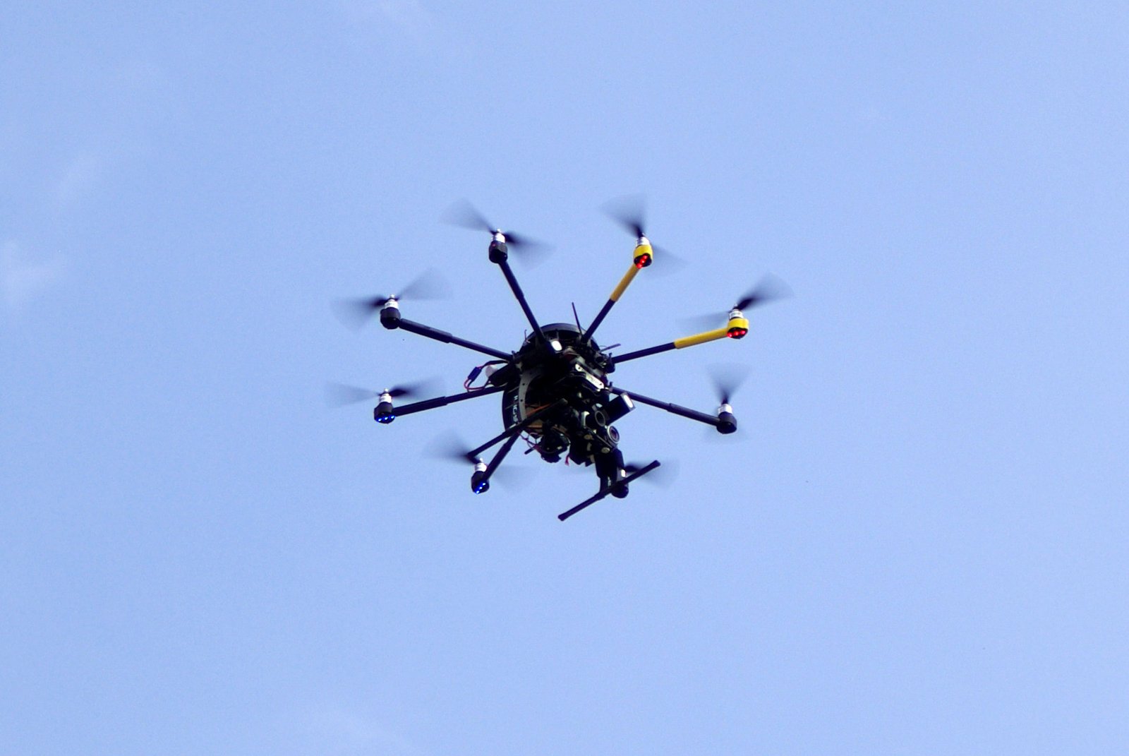
Advancements in drone technology have revolutionized the surveying process in the construction industry. With the ability to capture high-resolution aerial images and create detailed 3D models, drones have greatly improved the efficiency and accuracy of surveying tasks. Traditional surveying methods often require manual measurements and can be time-consuming and labor-intensive. However, drones equipped with advanced sensors and cameras can quickly and precisely collect data from various angles and heights, allowing construction professionals to obtain accurate measurements and identify potential issues with ease. Moreover, the use of drones in surveying eliminates the need for workers to physically access hazardous or hard-to-reach areas, enhancing safety on construction sites. As drone technology continues to evolve, it is expected to play an increasingly vital role in the future of surveying, transforming the way construction projects are planned, monitored, and executed.
Collaboration with other construction technologies
Collaboration with other construction technologies is crucial for the future of surveying in the construction industry. Drones have already revolutionized the way surveys are conducted, providing faster and more accurate data collection. However, to fully harness the potential of drones, it is essential to integrate them with other technologies such as Building Information Modeling (BIM) and Geographic Information Systems (GIS). By combining the capabilities of drones with BIM and GIS, construction professionals can streamline their workflows, improve project coordination, and make more informed decisions. For example, drones can capture high-resolution aerial images that can be directly imported into BIM software, allowing for real-time visualization and analysis of construction sites. Additionally, drones can collect geospatial data that can be integrated into GIS platforms, enabling better spatial analysis and mapping. The collaboration between drones and other construction technologies will not only enhance the efficiency and accuracy of surveying but also pave the way for innovative applications and advancements in the construction industry.


