Introduction
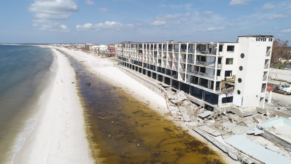
Drones have emerged as a valuable tool in the field of property damage assessment, revolutionizing the way damage is evaluated and documented. With their ability to capture high-resolution images and videos from various angles, drones provide a cost-effective and efficient solution for assessing property damage caused by natural disasters, accidents, or other incidents. This article explores the role of drones in efficient property damage assessment and highlights the benefits they bring to this crucial task.
The Benefits of Using Drones for Property Damage Assessment
The use of drones has become increasingly popular in various industries, and one area where they have proven to be particularly beneficial is property damage assessment. Drones offer a unique perspective and a range of capabilities that make them an invaluable tool for assessing property damage quickly and efficiently.
One of the key benefits of using drones for property damage assessment is their ability to access hard-to-reach areas. In the aftermath of a natural disaster or a fire, there may be areas that are unsafe or inaccessible for humans to enter. Drones can easily navigate these areas, providing a detailed view of the damage without putting anyone at risk. This not only ensures the safety of the assessors but also allows for a more thorough assessment of the property.
In addition to accessing hard-to-reach areas, drones also offer a bird’s-eye view of the property, allowing for a comprehensive assessment of the damage. Traditional methods of property damage assessment often involve manual inspections, which can be time-consuming and may not provide a complete picture of the extent of the damage. Drones, on the other hand, can capture high-resolution images and videos from various angles, providing a detailed and accurate assessment of the property.
Furthermore, drones equipped with thermal imaging cameras can detect hidden damage that may not be visible to the naked eye. Thermal imaging technology allows drones to identify areas of heat loss, water leaks, or electrical issues, which can be crucial in assessing the overall condition of a property. By detecting these hidden issues, drones enable assessors to identify potential problems that may not have been apparent during a visual inspection.
Another advantage of using drones for property damage assessment is the speed at which they can gather data. Traditional methods of assessment often involve manual measurements and note-taking, which can be time-consuming and prone to human error. Drones, on the other hand, can quickly capture a large amount of data, including images, videos, and measurements, which can then be analyzed and processed using specialized software. This not only saves time but also allows for a more efficient assessment process.
Moreover, the use of drones in property damage assessment can also lead to cost savings. Traditional methods often require the use of heavy machinery or specialized equipment, which can be expensive to rent or purchase. Drones, on the other hand, are relatively affordable and require minimal equipment to operate. This makes them a cost-effective solution for property damage assessment, especially for smaller properties or areas that are difficult to access.
In conclusion, drones have revolutionized the field of property damage assessment by offering a range of benefits that traditional methods cannot match. From accessing hard-to-reach areas to providing a comprehensive view of the damage, drones enable assessors to gather accurate and detailed data quickly and efficiently. With their ability to detect hidden damage and their cost-effective nature, drones have become an invaluable tool in the assessment of property damage. As technology continues to advance, it is likely that drones will play an even greater role in the future of property damage assessment.
How Drones Improve Efficiency in Property Damage Assessment
The use of drones has revolutionized many industries, and one area where they have proven to be particularly valuable is in property damage assessment. Drones offer a unique perspective and a range of capabilities that make them an ideal tool for efficiently assessing property damage. In this article, we will explore the various ways in which drones improve efficiency in property damage assessment.
One of the key advantages of using drones for property damage assessment is their ability to access hard-to-reach areas. In the aftermath of a natural disaster or a fire, there may be areas that are unsafe or inaccessible for humans to enter. Drones can easily navigate these areas, providing a comprehensive view of the damage without putting anyone at risk. This not only improves the safety of the assessment process but also allows for a more accurate and thorough evaluation of the extent of the damage.
Furthermore, drones equipped with high-resolution cameras and sensors can capture detailed images and data that would be difficult to obtain through traditional methods. These images can be used to create 3D models of the damaged property, providing a more comprehensive understanding of the structural integrity and identifying potential hazards. This level of detail allows for a more accurate assessment of the damage, enabling insurance adjusters and property owners to make informed decisions regarding repairs and claims.
In addition to capturing images, drones can also collect other types of data that are crucial for property damage assessment. For example, thermal imaging cameras can be used to detect heat signatures, helping identify areas of potential fire damage that may not be visible to the naked eye. This information can be invaluable in determining the extent of the damage and prioritizing repairs.
Another way in which drones improve efficiency in property damage assessment is through their ability to quickly cover large areas. Traditional methods of assessment often involve manually inspecting each property, which can be time-consuming and labor-intensive. Drones, on the other hand, can cover large areas in a fraction of the time, allowing for a more efficient assessment process. This not only saves time but also reduces costs, as fewer resources are required to complete the assessment.
Furthermore, drones can be equipped with advanced software that can analyze the data collected and provide real-time insights. This automation eliminates the need for manual data analysis, further streamlining the assessment process. Insurance adjusters and property owners can quickly access the information they need, allowing for faster decision-making and response to the damage.
In conclusion, drones play a crucial role in improving efficiency in property damage assessment. Their ability to access hard-to-reach areas, capture detailed images and data, and quickly cover large areas make them an invaluable tool in the assessment process. By utilizing drones, insurance adjusters and property owners can obtain a more accurate and comprehensive understanding of the damage, leading to faster and more informed decision-making. As technology continues to advance, it is likely that drones will play an even greater role in property damage assessment, further improving efficiency and effectiveness in this field.
The Future of Property Damage Assessment: Integrating Drones
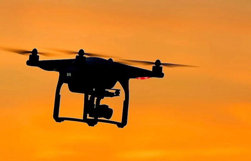
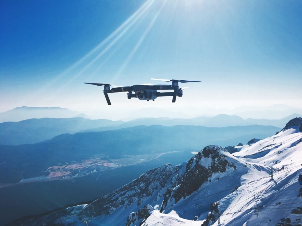
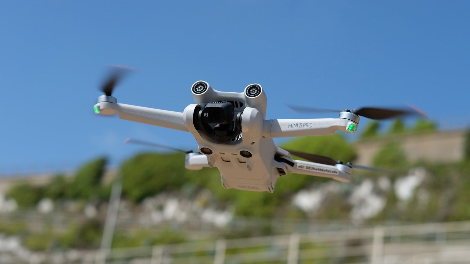
The use of drones in property damage assessment is revolutionizing the way insurance companies and property owners evaluate and document the extent of damage. Drones, also known as unmanned aerial vehicles (UAVs), are small aircraft that are remotely controlled and equipped with high-resolution cameras. They can capture detailed images and videos of damaged properties from various angles and heights, providing a comprehensive view of the damage.
One of the main advantages of using drones for property damage assessment is their ability to access hard-to-reach areas. In the past, property inspectors had to rely on ladders or scaffolding to inspect roofs, chimneys, or other elevated structures. This process was time-consuming, costly, and sometimes dangerous. With drones, inspectors can easily fly over the property and capture images and videos of these areas without the need for physical access. This not only saves time and money but also reduces the risk of accidents and injuries.
Moreover, drones can provide a more accurate and detailed assessment of property damage compared to traditional methods. The high-resolution cameras mounted on drones can capture images with exceptional clarity, allowing inspectors to zoom in and examine the damage in great detail. This level of precision enables insurance adjusters to make more accurate estimates of repair costs and helps property owners to better understand the extent of the damage.
In addition to capturing images and videos, drones can also be equipped with thermal imaging cameras. These cameras can detect temperature differences, which can be useful in identifying hidden damage, such as water leaks or insulation problems. By detecting these issues early on, property owners can take prompt action to prevent further damage and minimize repair costs.
Furthermore, the use of drones in property damage assessment can significantly reduce the time it takes to process insurance claims. Traditionally, property inspectors had to physically visit each property to assess the damage, which could take days or even weeks, depending on the size of the area affected. With drones, inspectors can cover a larger area in a shorter amount of time, allowing insurance companies to process claims more efficiently. This not only benefits property owners who can receive compensation faster but also helps insurance companies streamline their operations and reduce costs.
However, it is important to note that the use of drones in property damage assessment is not without challenges. Privacy concerns and regulations regarding the use of drones are still evolving, and it is crucial for companies and individuals to comply with local laws and regulations. Additionally, the use of drones requires skilled operators who are trained in flying and maneuvering the aircraft safely. Investing in training and certification programs for drone operators is essential to ensure the safe and effective use of drones in property damage assessment.
In conclusion, drones are playing an increasingly important role in efficient property damage assessment. Their ability to access hard-to-reach areas, capture detailed images and videos, and provide accurate assessments of damage is transforming the way insurance companies and property owners evaluate and document property damage. While there are challenges to overcome, the benefits of using drones in property damage assessment are undeniable. As technology continues to advance, it is likely that drones will become an integral part of the future of property damage assessment.
Conclusion
In conclusion, drones play a crucial role in efficient property damage assessment. They provide a cost-effective and time-efficient solution for surveying and inspecting damaged properties. Drones can capture high-resolution images and videos, allowing for a detailed analysis of the extent of the damage. They also enable access to hard-to-reach areas, ensuring a comprehensive assessment. With their ability to quickly collect data and provide real-time information, drones have significantly improved the efficiency and accuracy of property damage assessment processes.
To learn more about the role of drones in efficient property damage assessment, visit our website and contact us at
https://ecdronepros.com/contact-us/.
