Introduction
Definition of urban planning
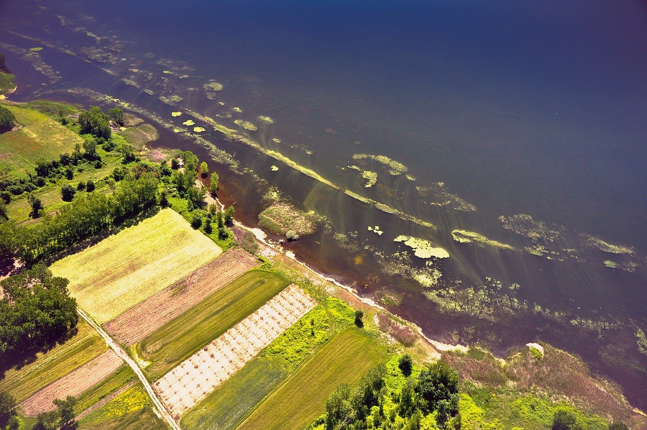
Urban planning is the process of designing, organizing, and controlling the development of cities and towns. It involves creating plans and policies to guide the growth and development of urban areas, taking into consideration factors such as transportation, housing, infrastructure, and public spaces. The goal of urban planning is to create livable, sustainable, and inclusive communities that meet the needs of residents and promote economic growth. With the emergence of drone services, urban planning professionals have a powerful tool at their disposal to gather valuable insights and data for informed decision-making. Drones can be used to capture high-resolution aerial images, collect data on land use, assess the condition of existing infrastructure, and identify potential areas for development or improvement. By leveraging drone services, urban planners can unlock new perspectives and access information that was previously challenging to obtain, enabling them to make more informed decisions and shape cities for the better.
Importance of urban planning
Urban planning plays a crucial role in shaping the development and growth of cities. It helps ensure that resources and infrastructure are efficiently distributed, creating sustainable and livable urban environments. By carefully analyzing the needs and demands of a city’s population, urban planners can design policies and strategies that address issues such as housing, transportation, and public spaces. Effective urban planning can also enhance social equality, economic prosperity, and environmental sustainability. With the advent of drone services, urban planners now have a powerful tool to gather data and gain valuable insights that can inform their decision-making processes. Drones enable planners to map and survey vast areas quickly and accurately, providing a comprehensive understanding of current urban landscapes. By harnessing drone technology, urban planning can unlock new dimensions of efficiency and effectiveness, leading to smarter and more innovative approaches to city development.
Role of technology in urban planning
The role of technology in urban planning cannot be underestimated. With the advent of innovative drone services, urban planners now have access to a wealth of data and insights that were previously unimaginable. Drones enable planners to capture high-resolution aerial images, perform 3D mapping, and conduct topographic surveys with ease. This data can be invaluable in understanding the existing urban landscape, identifying potential areas for development, and evaluating the impact of proposed projects. Furthermore, technology-based planning tools, such as Geographic Information Systems (GIS), allow planners to analyze and visualize complex data sets, leading to more informed decision-making. Overall, technology has revolutionized urban planning by providing planners with powerful tools and data-driven insights, ultimately leading to more efficient and sustainable cities.
Drone Services in Urban Planning

Overview of drone technology
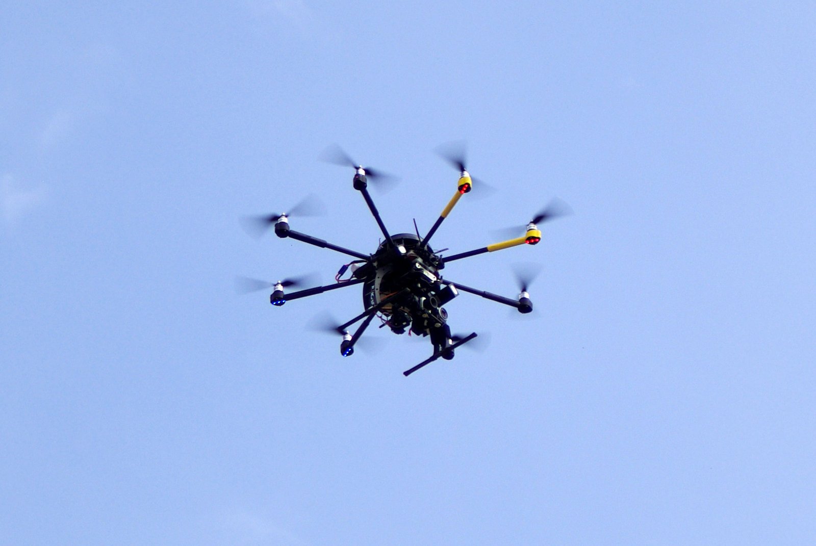
Drones have revolutionized various industries, and urban planning is no exception. As cities continue to grow and evolve, the need for accurate and up-to-date data becomes increasingly crucial. The use of drones in urban planning provides valuable insights that help authorities make informed decisions about infrastructure development, transportation networks, and land use. With their ability to capture high-resolution aerial images and collect data from hard-to-reach areas, drones enable planners to gather a wealth of information quickly and cost-effectively. By leveraging drone services, urban planners can unlock a new level of efficiency and effectiveness in analyzing and improving our cities.
Applications of drones in urban planning
Drones have revolutionized the field of urban planning by offering a range of applications that were previously unimaginable. These unmanned aerial vehicles have been particularly useful in collecting data for mapping and surveying purposes. By flying over built-up areas, drones can capture high-resolution images and generate accurate 3D models, providing planners with vital information about the existing infrastructure and potential development sites. Additionally, drones have become an essential tool for monitoring and assessing urban environments, helping to identify areas that require maintenance or improvements. With their ability to quickly and efficiently gather data, drones have unlocked new insights and opportunities in the field of urban planning, leading to more informed decision-making and improved city development strategies.
Benefits of using drones in urban planning
Drones have revolutionized the field of urban planning, providing numerous benefits and valuable insights. One of the key advantages of using drones in urban planning is their ability to gather high-resolution aerial imagery, allowing planners to obtain accurate and up-to-date data of the entire city. This data can be used to create detailed 3D models, identify potential areas of concern, analyze land usage patterns, and make informed decisions for future development projects. Additionally, drones enable planners to conduct surveys and inspections more efficiently and cost-effectively, reducing the need for manual labor and traditional methods. With their ability to quickly capture data from various angles and heights, drones have become an indispensable tool in unlocking valuable insights for urban planners.
Challenges in Implementing Drone Services
Regulatory hurdles
Regulatory hurdles are one of the main obstacles that urban planning professionals face when utilizing drone services. As unmanned aerial vehicles become increasingly popular for data collection and analysis in urban planning, there are strict regulations and policies that must be followed to ensure the safe and responsible use of drones. These regulations often include obtaining permits, maintaining certain flight altitudes, and ensuring the privacy of individuals. Navigating through these regulatory hurdles requires a deep understanding of local laws and permissions, as well as clear communication and coordination with authorities. Overcoming these challenges is crucial for unlocking the full potential of drone services in urban planning, as they offer a unique perspective and valuable insights that can revolutionize the way cities are designed and managed.
Privacy concerns
Privacy concerns are one of the key issues that arise with the use of drone services in urban planning. With drones equipped with high-resolution cameras and advanced imaging capabilities, there is a potential threat to personal privacy and data security. The ability of drones to capture imagery and gather data from previously inaccessible areas raises questions about the extent of surveillance and intrusion. Balancing the benefits of using drone services for urban planning with the need to protect individual privacy and data confidentiality is a critical challenge that needs to be addressed.
Technical limitations
Drones have revolutionized the field of urban planning by providing valuable insights and data. However, it is essential to acknowledge the technical limitations associated with drone services. One of the main challenges is the limited flight time of drones, which restricts their ability to cover larger areas. Additionally, the size and weight of the drones can pose limitations on the type of sensors and equipment that can be carried, affecting the quality and accuracy of the collected data. Moreover, weather conditions such as strong winds and rain can further hinder the performance of drones, making it challenging to capture accurate and reliable data. Despite these limitations, advancements in drone technology are continuously being made to overcome these challenges and enhance the capabilities of urban planning professionals.
Case Studies
City A: Mapping and surveying
City A, located in the heart of the region, has embraced the use of drone services for mapping and surveying purposes. With its intricate network of streets, buildings, and infrastructure, the city presents unique challenges for urban planning. However, drones have proven to be a game-changer, providing high-resolution aerial imagery and data that can be used to analyze and understand the city’s spatial dynamics. By using drones, city planners can gather accurate and up-to-date information, enabling them to make informed decisions regarding land use, transportation, and infrastructure development. The use of drone services in City A not only streamlines the mapping and surveying process but also enhances the overall efficiency and effectiveness of urban planning initiatives.
City B: Traffic analysis
City B: Traffic analysis is an essential aspect of urban planning, as it helps identify congestion hotspots, optimize transportation systems, and improve overall mobility. With the advent of drone services, collecting traffic data has become more efficient and accurate than ever before. Drones can capture real-time images and videos of city streets, providing valuable insights into traffic patterns, vehicle speeds, and road conditions. This data can then be analyzed to identify bottlenecks, plan new road infrastructure, and implement smarter traffic management strategies. By leveraging drone services for traffic analysis, urban planners in City B can make informed decisions to enhance the city’s transportation network and create a safer and more efficient commuting experience for residents and visitors alike.
City C: Environmental monitoring
In City C, drone services have revolutionized environmental monitoring efforts. With the ability to capture high-resolution aerial imagery and collect data from various sensors, drones provide a cost-effective and efficient solution for monitoring air quality, noise pollution, and other environmental factors. By regularly conducting drone surveys, city officials can quickly identify areas of concern and take proactive measures to address them, leading to improved environmental conditions and the well-being of residents. Furthermore, the use of drones in environmental monitoring allows for more comprehensive and accurate data collection, enabling policymakers to make informed decisions regarding urban planning and resource allocation.
Future Trends
Advancements in drone technology
Advancements in drone technology have revolutionized the field of urban planning. The ability of drones to capture high-resolution aerial imagery and topographic data has made it easier and more cost-effective to analyze and understand the complexities of urban landscapes. With the use of drones, planners can now obtain accurate measurements, create detailed 3D models, and assess the viability of potential development projects with greater precision. Moreover, drones provide a bird’s-eye view of urban areas, allowing planners to identify patterns, detect infrastructure issues, and plan for future growth. This innovative technology has opened up a world of possibilities in urban planning, enabling professionals to make data-driven decisions and unlock valuable insights for sustainable and efficient urban development.
Integration with AI and machine learning
Integration with AI and machine learning has revolutionized the field of urban planning. By harnessing the power of drones, city planners are now able to collect vast amounts of spatial data and imagery with greater accuracy and efficiency. These drones equipped with advanced sensors and cameras can capture high-resolution images and create detailed maps of urban environments. With the integration of AI and machine learning algorithms, this data can be processed and analyzed to unveil valuable insights about traffic patterns, population density, infrastructure development, and environmental impact. The use of AI algorithms can also streamline decision-making processes by identifying patterns and predicting future needs, enabling urban planners to make more informed decisions on land use, transportation networks, and public services. Overall, the integration of drones with AI and machine learning technologies is transforming urban planning, providing cities with the tools to make data-driven, sustainable, and efficient decisions for the betterment of their residents.
Potential impact on urban planning
The potential impact of drone services on urban planning is tremendous. Drones provide a unique perspective and enable city planners to collect high-resolution aerial data quickly and efficiently. This data can be used to analyze traffic patterns, monitor infrastructure changes, and assess the environmental impact of development projects. With the help of drone services, urban planners can make more informed decisions and implement effective strategies to improve urban development and sustainability. Additionally, drone services have the potential to reduce costs and increase efficiency in urban planning processes, as they eliminate the need for manual data collection and enable real-time monitoring. Overall, the integration of drone services in urban planning has the potential to revolutionize the way cities are designed, managed, and developed, leading to smarter, more sustainable urban environments.
Conclusion
Summary of key points
In summary, drone services have emerged as a valuable tool in urban planning, providing unique insights and benefits. By capturing high-resolution aerial imagery and conducting surveys in a cost-effective and efficient manner, drones enable planners to gain a comprehensive understanding of urban environments. With the ability to collect large amounts of data quickly and accurately, drones can assist in analyzing land use patterns, identifying infrastructure needs, and assessing the impact of development projects. Furthermore, drones can enhance citizen engagement by providing visual representations of proposed changes and fostering community participation in the planning process. Overall, integrating drone services into urban planning practices has the potential to significantly improve decision-making, streamline processes, and create more sustainable and inclusive cities.
Importance of embracing drone services
Drones have revolutionized various industries, and urban planning is no exception. The importance of embracing drone services in this field cannot be overstated. With their ability to capture high-resolution aerial images, drones provide urban planners with valuable insights and data that were previously time-consuming and costly to obtain. By using drones for mapping and surveying purposes, cities can quickly and accurately gather information about their infrastructure, land use, and environmental factors. This data enables urban planners to make informed decisions, improve efficiency, and enhance the overall livability of cities. Furthermore, drones can be utilized for monitoring and assessing the impact of urban development projects, ensuring compliance with regulations and minimizing potential risks. Embracing drone services in urban planning allows for quicker decision-making, cost savings, and more sustainable development practices.
Call to action for urban planners
As urban planners strive to create sustainable, functional, and livable cities, incorporating drone services into their arsenal of tools should be a top priority. Drones provide a unique perspective that allows planners to gather valuable data and insights that can inform decision-making and improve the planning process. From conducting aerial surveys to monitoring traffic patterns and assessing environmental impact, the use of drones can unlock new possibilities in urban planning. By embracing this technology, urban planners can enhance their ability to understand and address the complex challenges of city development, ultimately leading to more efficient and effective planning outcomes.


