Introduction
Definition of urban planning
Urban planning is the process of designing and organizing the physical layout of cities, towns, and other urban areas. It involves determining the best use of land, infrastructure development, transportation systems, and public spaces to create sustainable and livable communities. The goal of urban planning is to improve the quality of life for residents by promoting economic growth, social equity, and environmental sustainability. In recent years, the use of drones in urban planning has emerged as a valuable tool to gather data, analyze urban landscapes, and make informed decisions. Drones offer a unique perspective, capturing high-resolution images and videos that provide detailed information about the built environment. By using drones, urban planners can efficiently assess the existing conditions, identify potential challenges, and develop effective strategies to address them. With their ability to navigate through complex urban environments and collect data from inaccessible areas, drones are revolutionizing the field of urban planning, enabling planners to rise above limitations and create more inclusive and resilient cities.
Importance of urban planning
Urban planning plays a crucial role in shaping cities and ensuring their sustainable development. It involves designing and organizing urban spaces to meet the needs of the community, while also taking into account factors such as infrastructure, transportation, and environmental impact. The importance of urban planning cannot be overstated, as it helps to create livable and functional cities that promote economic growth, social equity, and a high quality of life. With the rapid urbanization and population growth in many areas, effective urban planning becomes even more essential to address the challenges and opportunities that arise. By utilizing drones in urban planning, cities can gather accurate and detailed data, allowing planners to make informed decisions and develop strategies to overcome limitations. Drones provide a bird’s-eye view of the city, enabling planners to assess land use, identify potential areas for development, and monitor changes over time. This technology not only enhances the efficiency and effectiveness of urban planning processes but also allows for more inclusive and participatory decision-making, involving various stakeholders in the planning and development of their communities.
Role of technology in urban planning
Technology plays a crucial role in urban planning, revolutionizing the way cities are designed, developed, and managed. In the context of drones, these unmanned aerial vehicles have emerged as powerful tools that can provide valuable insights and data for urban planners. Drones equipped with advanced sensors and cameras can capture high-resolution images, create detailed maps, and collect data on various aspects of urban environments. This information can be used to assess land use, monitor infrastructure development, and analyze the impact of urbanization on the environment. By leveraging drone technology, urban planners can make more informed decisions, optimize resource allocation, and enhance the overall efficiency and sustainability of cities.
Overview of Drones

Definition of drones
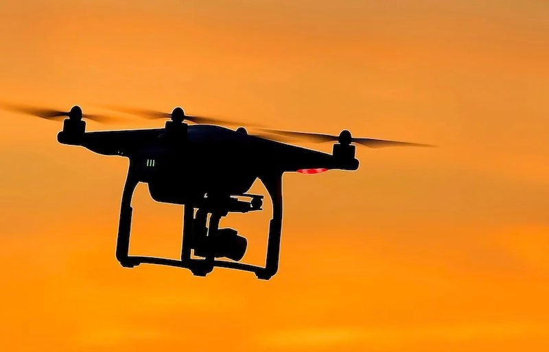
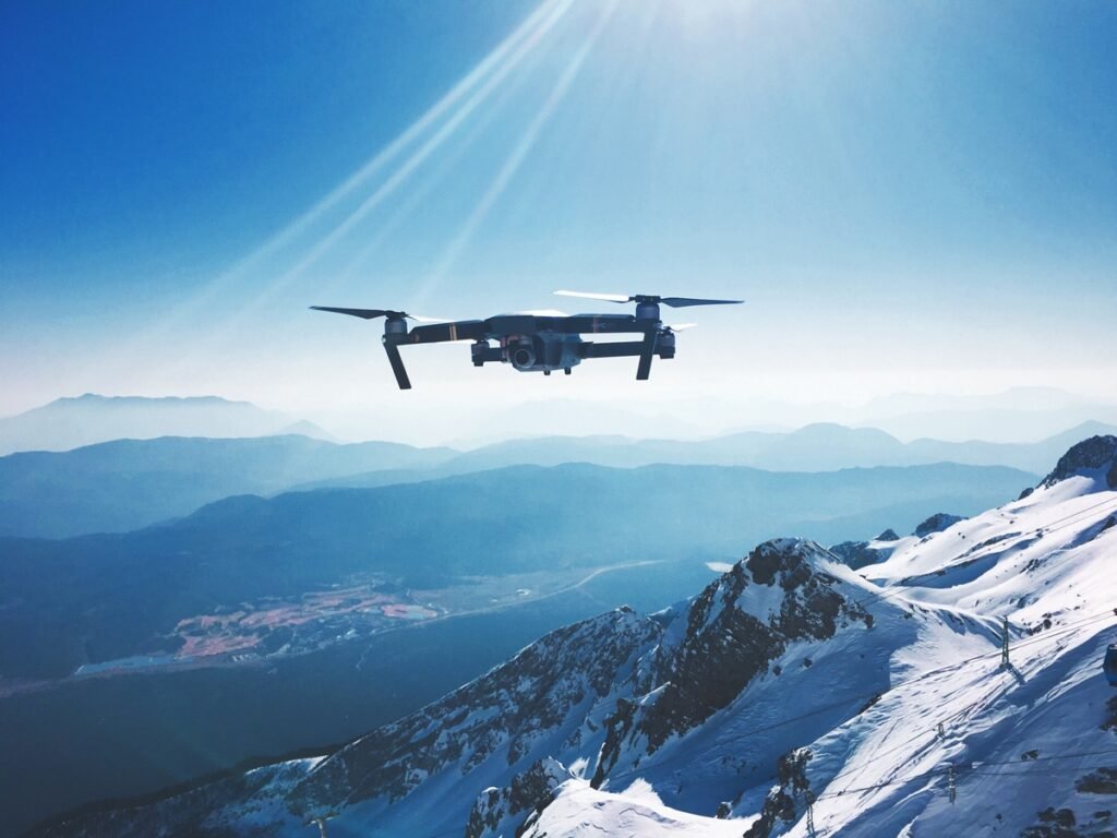
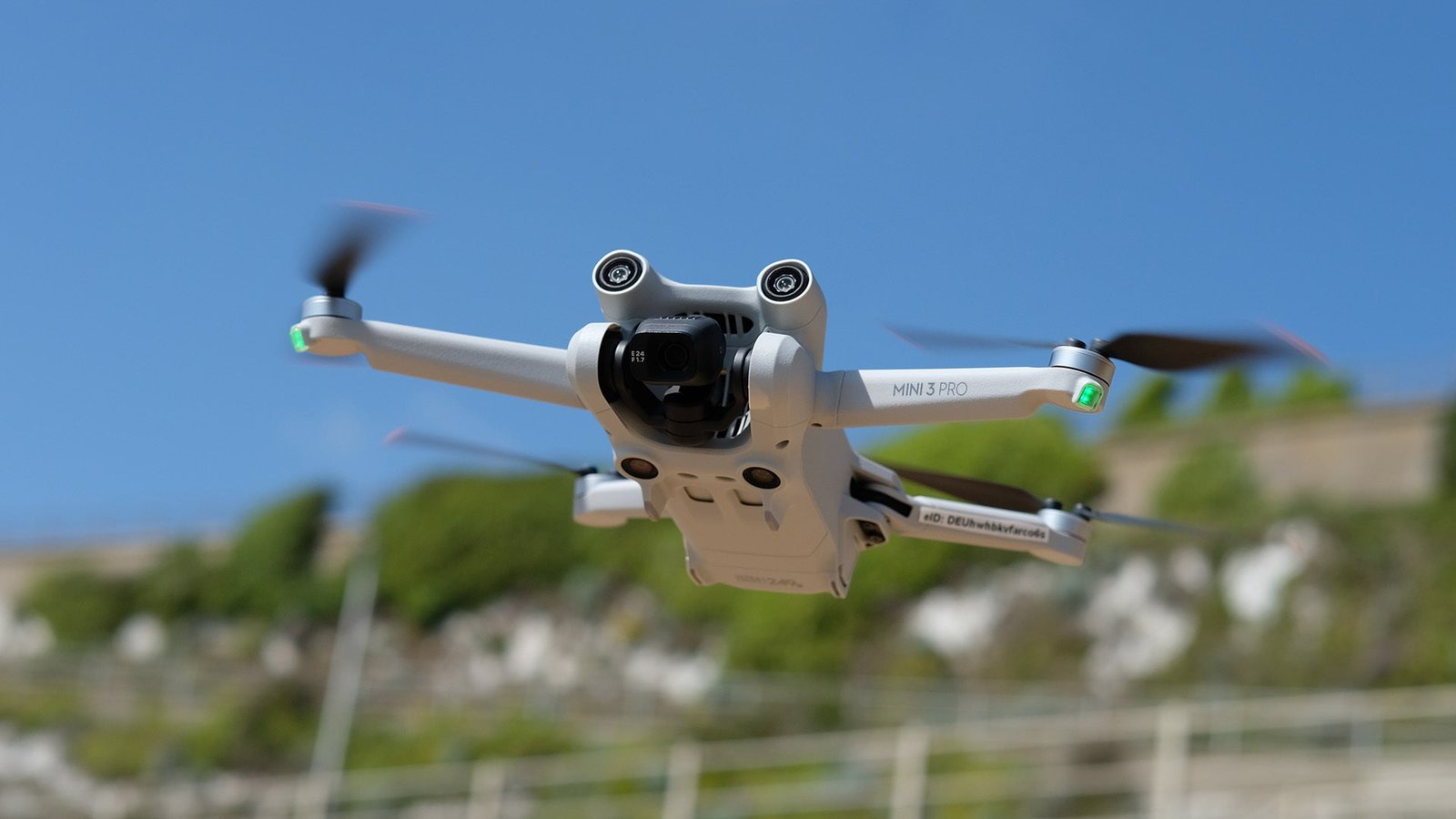
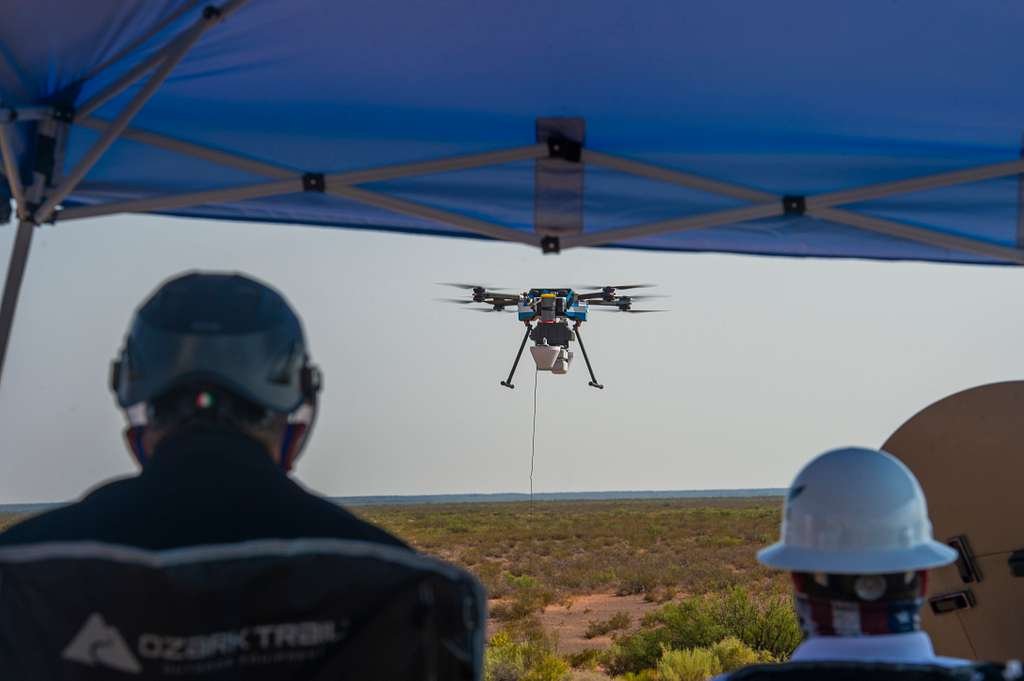
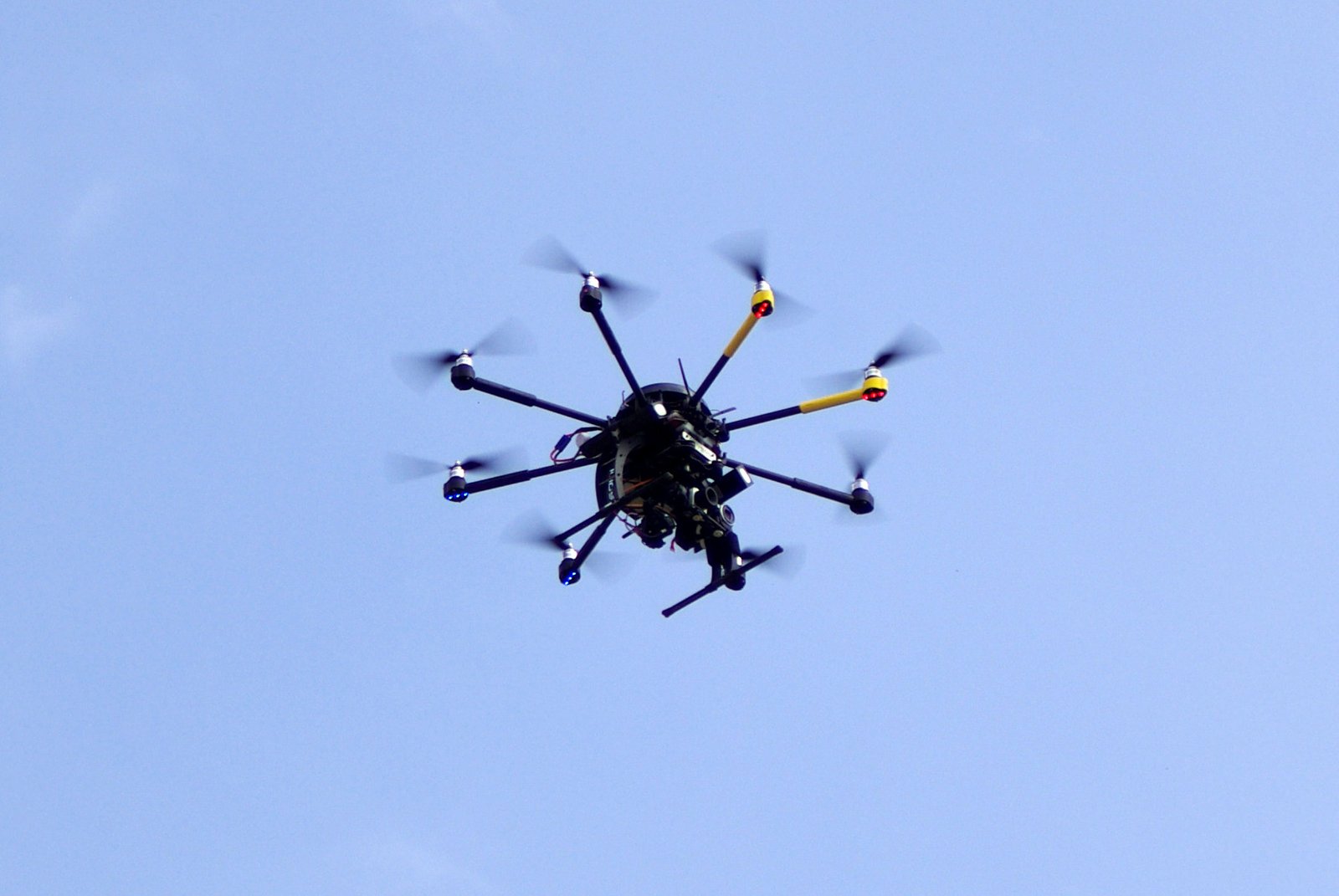
Drones, also known as unmanned aerial vehicles (UAVs), are aircraft that are remotely piloted or can fly autonomously. These versatile machines have gained significant popularity in recent years, especially in the field of urban planning. With their ability to capture high-resolution images, collect data, and navigate through challenging terrains, drones have revolutionized the way urban planners gather information and analyze urban landscapes. By providing a bird’s-eye view of the city, drones enable planners to identify potential areas for development, assess infrastructure needs, and monitor the progress of construction projects. The use of drones in urban planning has not only improved efficiency and accuracy but has also opened up new possibilities for sustainable and inclusive urban development.
Types of drones
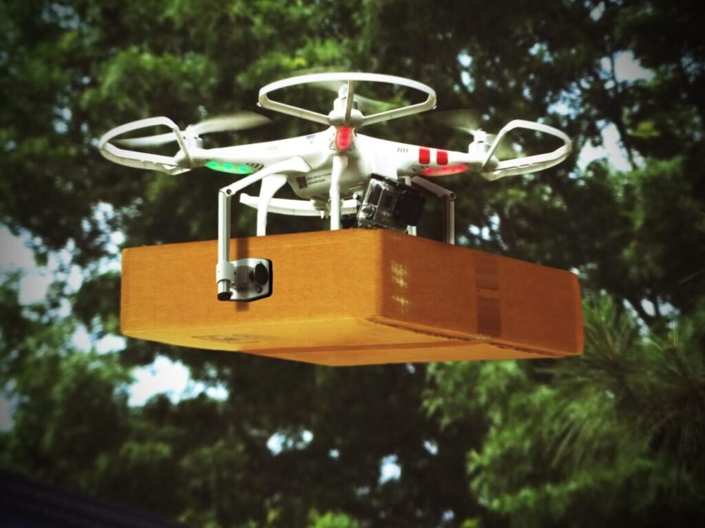
Drones used in urban planning come in various types, each serving a specific purpose. The first type is the mapping drone, equipped with high-resolution cameras and sensors to capture detailed aerial images and collect data about the terrain. These drones are essential for creating accurate 3D models and maps of the urban landscape. The second type is the inspection drone, designed to inspect infrastructure such as buildings, bridges, and roads. Equipped with specialized cameras and sensors, these drones can identify potential issues and provide valuable insights for maintenance and repairs. Lastly, there are surveillance drones used for monitoring and security purposes. These drones are equipped with advanced cameras and sensors to capture real-time footage and provide situational awareness in urban areas. With the advancement of drone technology, urban planners now have a range of tools at their disposal to gather data, assess infrastructure, and make informed decisions for sustainable urban development.
Applications of drones in various industries
Drones have become increasingly popular in various industries due to their versatility and efficiency. In the field of urban planning, drones have proved to be invaluable tools for gathering data and conducting surveys. With their ability to capture high-resolution aerial images and create detailed maps, drones have revolutionized the way urban planners analyze and design cities. They can be used to assess the condition of infrastructure, monitor construction projects, and even aid in disaster management. The applications of drones in urban planning are vast, and their use is only expected to grow in the future as technology continues to advance.
Challenges in Urban Planning

Population growth and urbanization
Population growth and urbanization are two major challenges that cities around the world are facing. As the global population continues to increase, cities are becoming overcrowded, leading to various issues such as traffic congestion, inadequate housing, and strained infrastructure. Urban planning plays a crucial role in addressing these challenges and ensuring sustainable development. Drones have emerged as a promising technology in urban planning, offering innovative solutions to overcome limitations posed by traditional methods. By using drones, urban planners can gather accurate data, create detailed maps, and analyze the existing infrastructure more efficiently. This enables them to make informed decisions and design cities that can accommodate the growing population while minimizing the negative impacts of urbanization.
Limited resources and infrastructure
Limited resources and infrastructure pose significant challenges in the field of urban planning. With growing populations and limited funds, cities are often faced with the daunting task of finding innovative solutions to meet the needs of their residents. Drones have emerged as a promising technology that can help overcome these limitations. By using drones, urban planners can gather data and insights that were previously inaccessible, allowing them to make informed decisions and optimize resource allocation. Drones can also be used to assess the condition of existing infrastructure, identify areas in need of improvement, and monitor ongoing construction projects. This not only saves time and money but also ensures that urban development is carried out in a sustainable and efficient manner. As cities continue to face the challenges of limited resources and infrastructure, drones offer a powerful tool to rise above these limitations and create more livable and resilient urban environments.
Environmental concerns
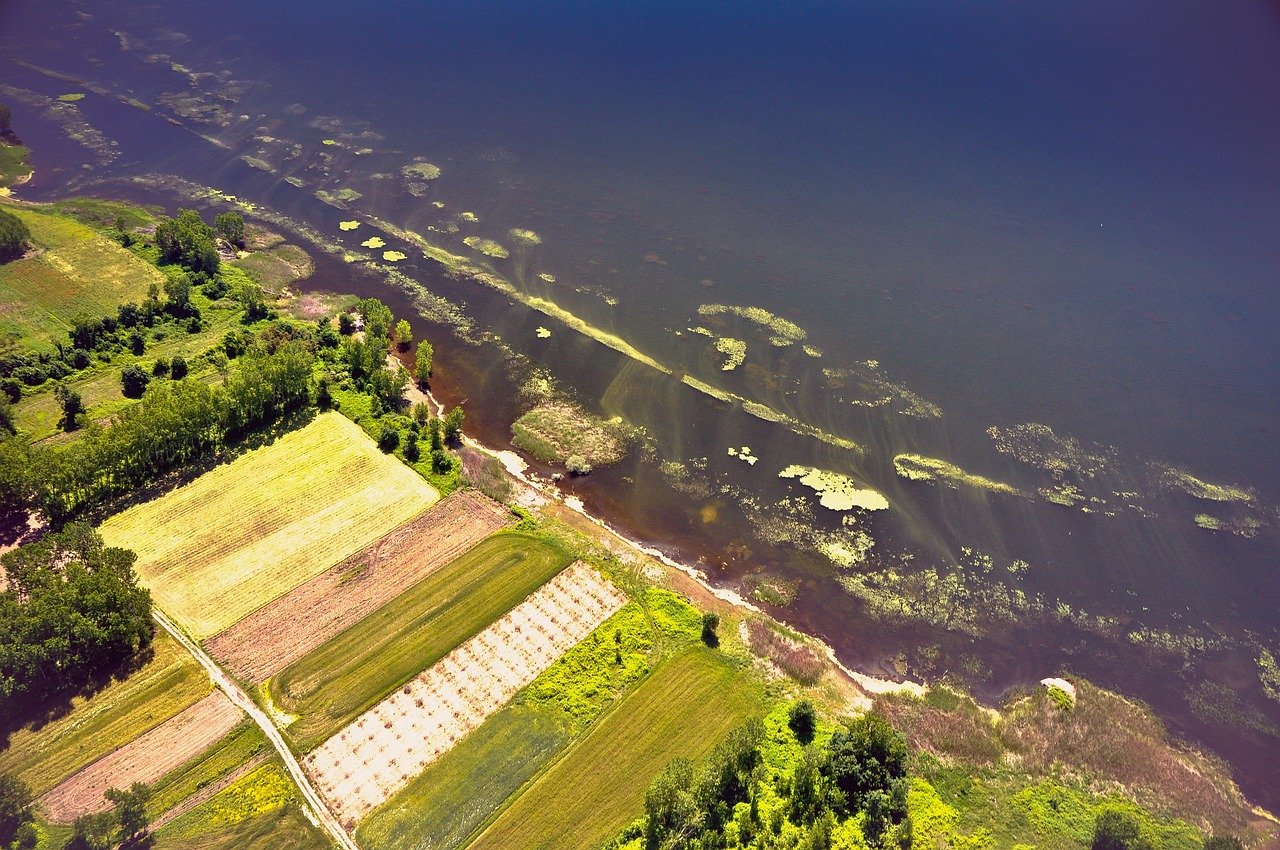
Drones in urban planning have emerged as a promising solution to address environmental concerns. With their ability to capture high-resolution aerial imagery and collect data on various environmental factors, drones enable planners to assess the impact of urban development on ecosystems and natural resources. By using drones, planners can identify potential risks, such as habitat destruction, pollution, and loss of biodiversity, and design more sustainable and eco-friendly urban landscapes. Furthermore, drones provide a cost-effective and efficient way to monitor and manage environmental changes over time, allowing for proactive measures to mitigate negative impacts. Overall, the integration of drones in urban planning offers a powerful tool to promote environmentally conscious decision-making and ensure the sustainable development of cities.
Benefits of Drones in Urban Planning

Data collection and analysis
Data collection and analysis play a crucial role in the utilization of drones in urban planning. With the ability to capture high-resolution aerial imagery and collect various types of data, drones have revolutionized the way urban planners gather information. These unmanned aerial vehicles enable efficient and accurate data collection, allowing planners to obtain a comprehensive understanding of the urban environment. Furthermore, drones facilitate the analysis of collected data through advanced software and algorithms, providing valuable insights for decision-making. The integration of drones in data collection and analysis has proven to be a game-changer in urban planning, empowering planners to make informed decisions and devise effective strategies for sustainable development.
Efficient surveying and mapping
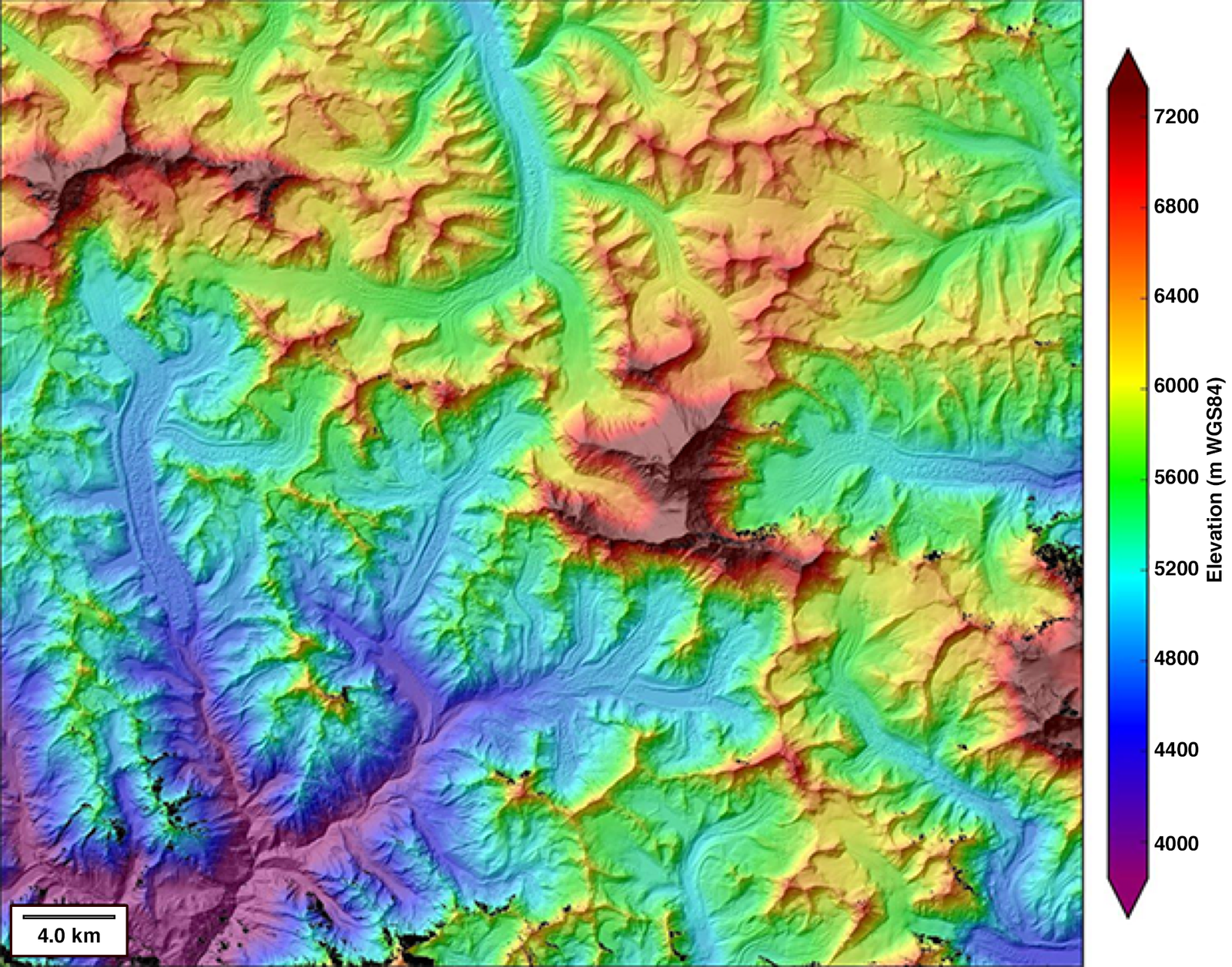
Efficient surveying and mapping play a crucial role in the successful implementation of drones in urban planning. Drones equipped with advanced sensors and imaging technology can quickly and accurately capture high-resolution aerial data, allowing urban planners to gather valuable information about the terrain, infrastructure, and land use patterns. This data can then be used to create detailed maps, identify potential development areas, and assess the impact of proposed projects. By leveraging drones for surveying and mapping, urban planners can streamline the planning process, reduce costs, and make more informed decisions for sustainable and efficient urban development.
Improved decision-making and visualization
Improved decision-making and visualization are two key benefits of using drones in urban planning. By capturing high-resolution aerial images and videos, drones provide planners with a wealth of data that can be used to make informed decisions. This data allows for a more accurate assessment of the current state of a city and its infrastructure, enabling planners to identify potential issues or areas for improvement. Additionally, drones offer a unique perspective that allows planners to visualize proposed changes and developments in a realistic manner. This visualization capability helps stakeholders and decision-makers better understand the potential impact of their decisions, leading to more effective and efficient planning processes.
Case Studies

Drone usage in city infrastructure planning
Drones have revolutionized the field of urban planning, particularly in the area of city infrastructure. These unmanned aerial vehicles provide planners with a unique perspective and invaluable data that was previously difficult to obtain. With the ability to capture high-resolution images and collect precise measurements, drones enable planners to assess the condition of existing infrastructure, identify potential areas for improvement, and even simulate future development scenarios. By utilizing drones in city infrastructure planning, urban planners are able to make more informed decisions and create sustainable and efficient cities that can better accommodate the needs of their residents.
Drones for disaster management and response
Drones have emerged as powerful tools for disaster management and response in urban planning. These unmanned aerial vehicles provide a unique perspective and real-time data that can be crucial in assessing and responding to emergency situations. With their ability to quickly and efficiently survey large areas, drones enable rapid damage assessment, search and rescue operations, and monitoring of disaster-affected areas. They can capture high-resolution images and videos, collect data on infrastructure damage, and even deliver essential supplies to inaccessible locations. By leveraging the capabilities of drones, urban planners can enhance their disaster preparedness and response strategies, ultimately saving lives and minimizing the impact of disasters on communities.
Drones in monitoring and maintenance of urban areas
Drones have emerged as a valuable tool in the monitoring and maintenance of urban areas. With their ability to capture high-resolution aerial imagery and collect data from various sensors, drones offer a cost-effective and efficient solution for assessing the condition of infrastructure, identifying maintenance needs, and monitoring construction projects. By utilizing drones, urban planners and engineers can obtain accurate and up-to-date information about the state of urban areas, enabling them to make informed decisions and take proactive measures to address any issues that may arise. Furthermore, drones can be deployed in areas that are difficult to access or pose safety risks for humans, allowing for the inspection and maintenance of structures such as bridges, rooftops, and high-rise buildings. Overall, the use of drones in urban planning has revolutionized the way cities are monitored and maintained, leading to improved efficiency, safety, and sustainability.
Future of Drones in Urban Planning
Integration of drones with AI and automation
The integration of drones with AI and automation has revolutionized the field of urban planning. With the advancements in technology, drones equipped with artificial intelligence algorithms and automated systems have become essential tools for gathering data and analyzing urban landscapes. These intelligent drones can efficiently collect high-resolution images, aerial surveys, and 3D mapping data, providing planners with accurate and up-to-date information. By combining AI and automation, drones can quickly process vast amounts of data, enabling urban planners to make informed decisions and develop effective strategies for urban development. This integration has not only improved the efficiency and accuracy of data collection but has also reduced costs and time in the planning process. As a result, drones have become indispensable in urban planning, allowing for better understanding and management of the urban environment.
Regulatory challenges and considerations
Regulatory challenges and considerations play a crucial role in the integration of drones in urban planning. As drones become more prevalent in our cities, there is a need for clear guidelines and regulations to ensure their safe and responsible use. One of the main challenges is the development of airspace regulations that allow for the safe operation of drones in urban environments. This includes defining no-fly zones, altitude restrictions, and flight paths to prevent collisions with buildings, infrastructure, and other aircraft. Additionally, privacy concerns are another important consideration. Regulations should address the collection and use of data by drones to protect the privacy of individuals and ensure compliance with data protection laws. By addressing these regulatory challenges and considerations, we can harness the full potential of drones in urban planning while ensuring the safety and privacy of our cities’ residents.
Potential advancements and innovations
Drones have the potential to revolutionize urban planning through various advancements and innovations. One of the key areas where drones can make a significant impact is in data collection. With their ability to capture high-resolution aerial images and collect data from various sensors, drones can provide planners with accurate and up-to-date information about the urban environment. This data can be used for mapping, analyzing land use patterns, monitoring infrastructure, and even predicting future urban developments. Additionally, drones can also be used for conducting surveys and inspections in a more efficient and cost-effective manner. By eliminating the need for manual labor and reducing the time required for data collection, drones can help urban planners save both time and resources. Furthermore, drones can enable planners to visualize and simulate urban designs in a more realistic manner, allowing for better decision-making and stakeholder engagement. Overall, the potential advancements and innovations that drones bring to urban planning have the ability to transform the way cities are designed and managed, leading to more sustainable and livable urban environments.

