
Emerald Coast Drone Pros / VP of Operations
Cole Thurmon
A commercial drone pilot since 2017, Cole brings hands-on experience in aerial photography, mapping and 3D modeling to Emerald Coast Drone Pros.
Based in Panama City Beach · Bay, Walton, Okaloosa & Gulf counties
Overview
Experience on site and behind the screen
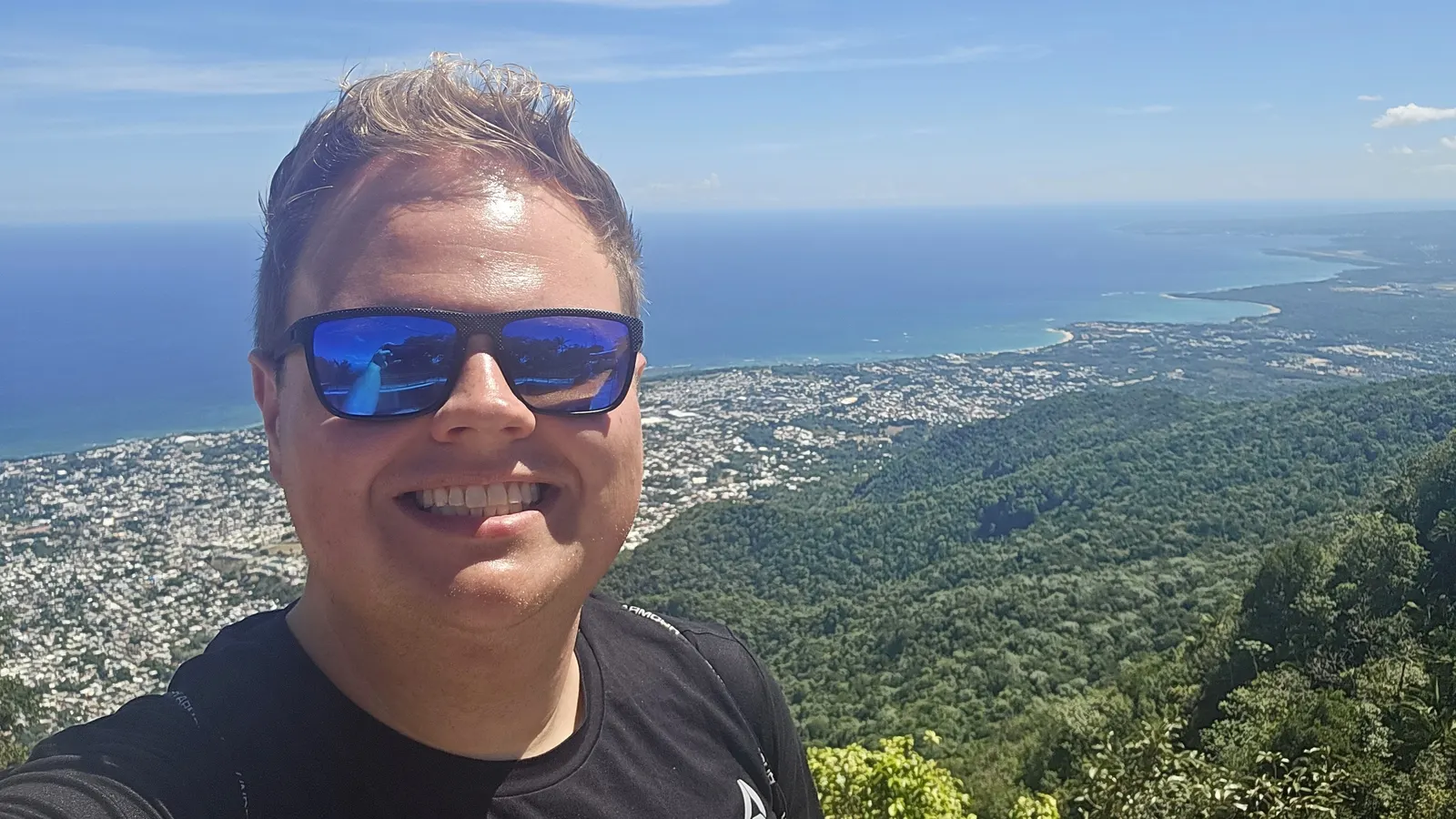
Cole is VP of Operations at Emerald Coast Drone Pros and a current FAA Part 107 commercial UAS pilot. His commercial drone experience dates to 2017.
Cole’s background includes real estate media, tourism photography, roof imagery and hurricane-damage documentation. Those assignments demand different kinds of observation: the features that make a property appealing, the details an owner needs recorded or the changes that matter during construction.
His technical experience includes DJI enterprise platforms, RTK-enabled drone operations and processing with Pix4D, DroneDeploy and WebODM. That background covers both collecting overlapping photographs and working through the reconstruction those photographs produce.
Cole’s professional background on LinkedInLooking closely at the finished result
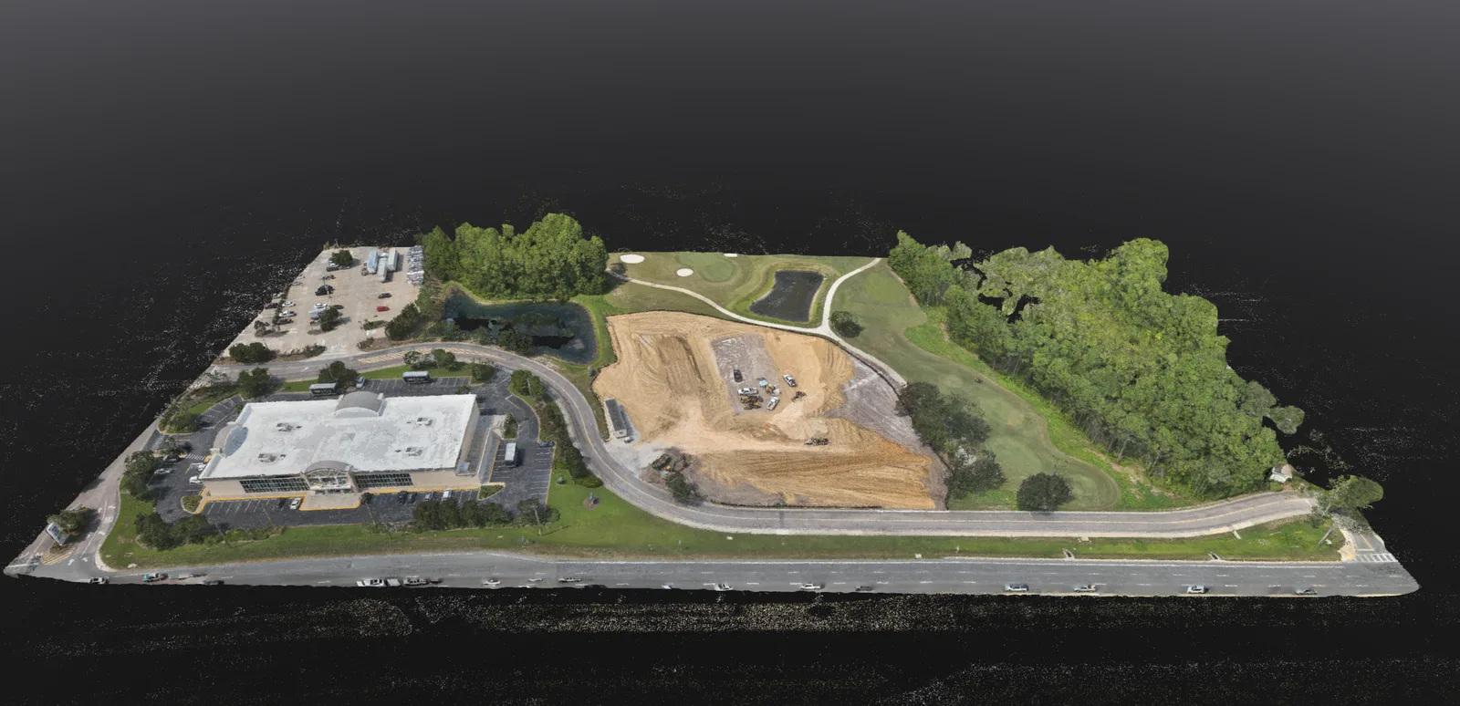
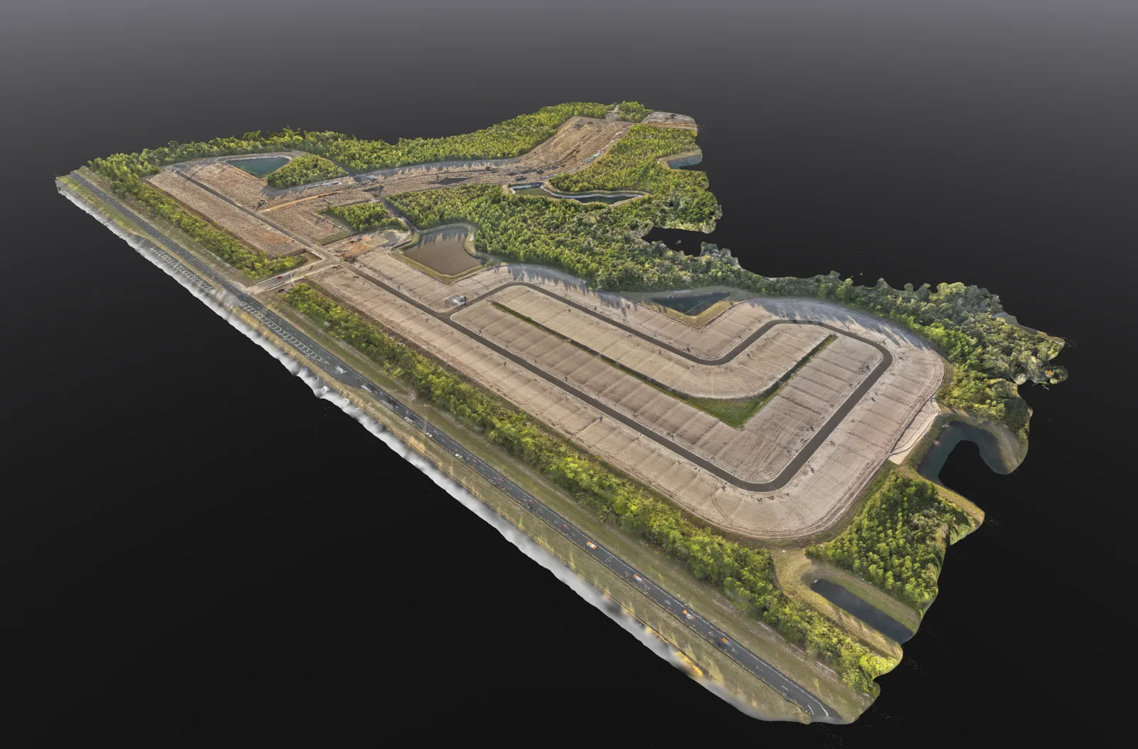
Cole works with orthomosaics, photogrammetric 3D models, point clouds and volume analysis. He reviews reconstructions for gaps and incomplete surfaces and discusses the coverage and file format needed for the project.
A volume calculation needs a defined material area, reference surface and units. A mapping handoff needs the receiving team’s file requirements and coordinate information where established. These details help explain what the output shows and where its limits lie.
Drone mapping and 3D models Orthomosaic mapping Stockpile volume analysisConnecting the aerial and interior record
Cole also works with thermal imagery and ground-based 360° documentation. For construction, aerial photographs show the overall site while 360° capture records accessible interior spaces. Together, they can preserve views of stages that later work will conceal.
Repeat coverage needs recognizable locations and dates so the person reviewing the record can follow what changed. This is especially useful when the owner or project team cannot attend every site visit.
Construction progress coverage 360° construction walkthroughsBring the question, or bring the specifications
If you already have a required file type or a professional who will use the data, include that information with your request. If not, explain what you need to see or understand about the site.
Your next step
Discuss your project with us.
Share the location and the result you need, including any technical file requirements. We’ll help you work out the right coverage.
Discuss your projectChoose the output
Technical mapping services.
Start with the decision you need to make, then choose the site record, model or quantity workflow that supports it.
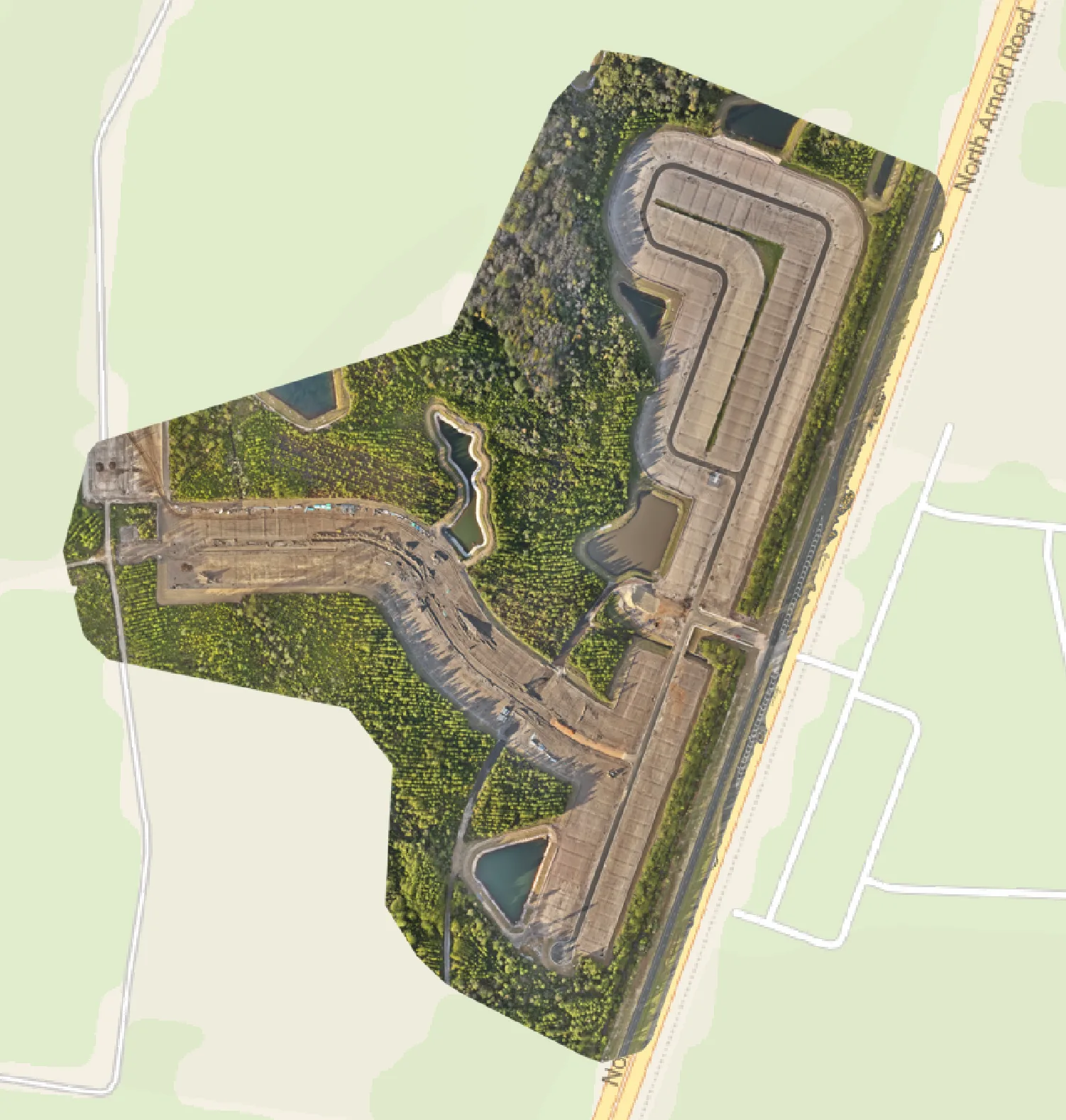
01 / Mapping services
Orthomosaic mapping
A current overhead record of the site, its visible features and existing conditions.
Explore the service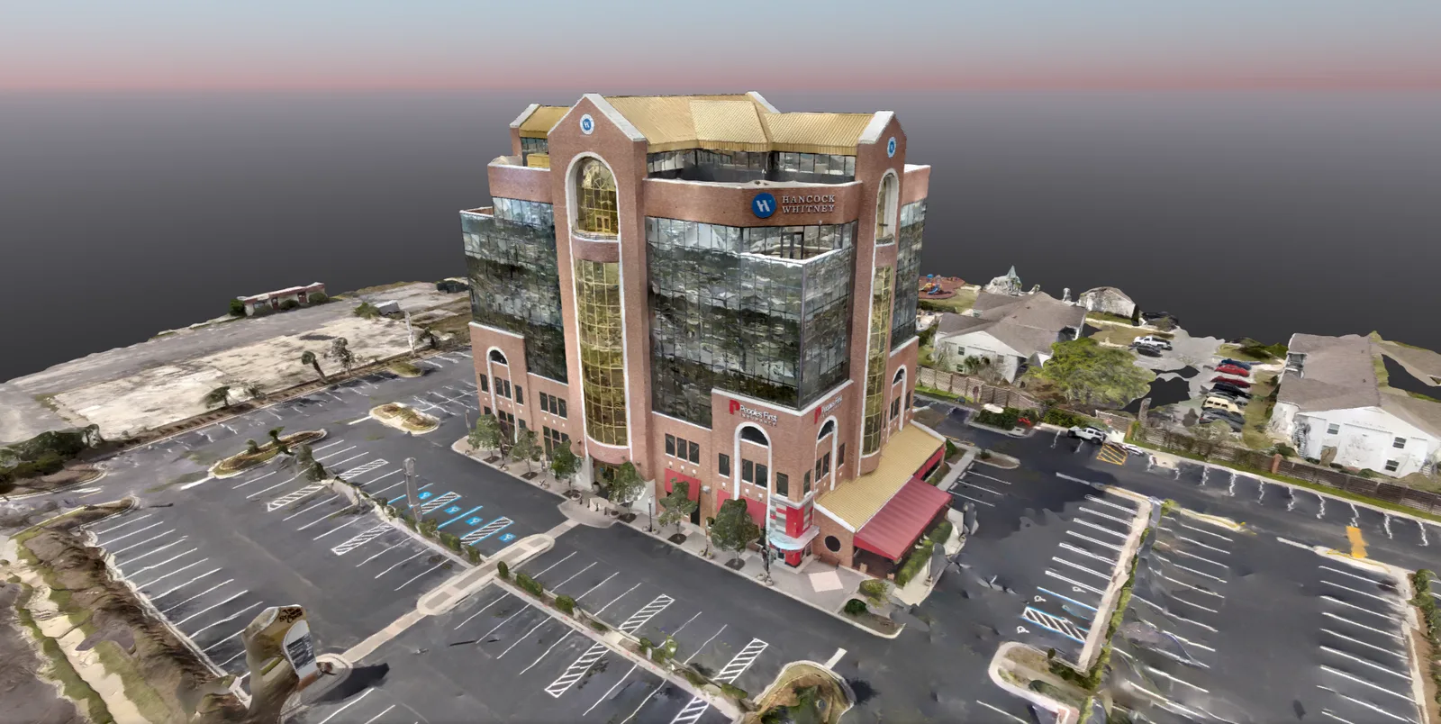
02 / Mapping services
3D site models & point clouds
3D models and point-cloud files to help your team review the shape of a site.
Explore the service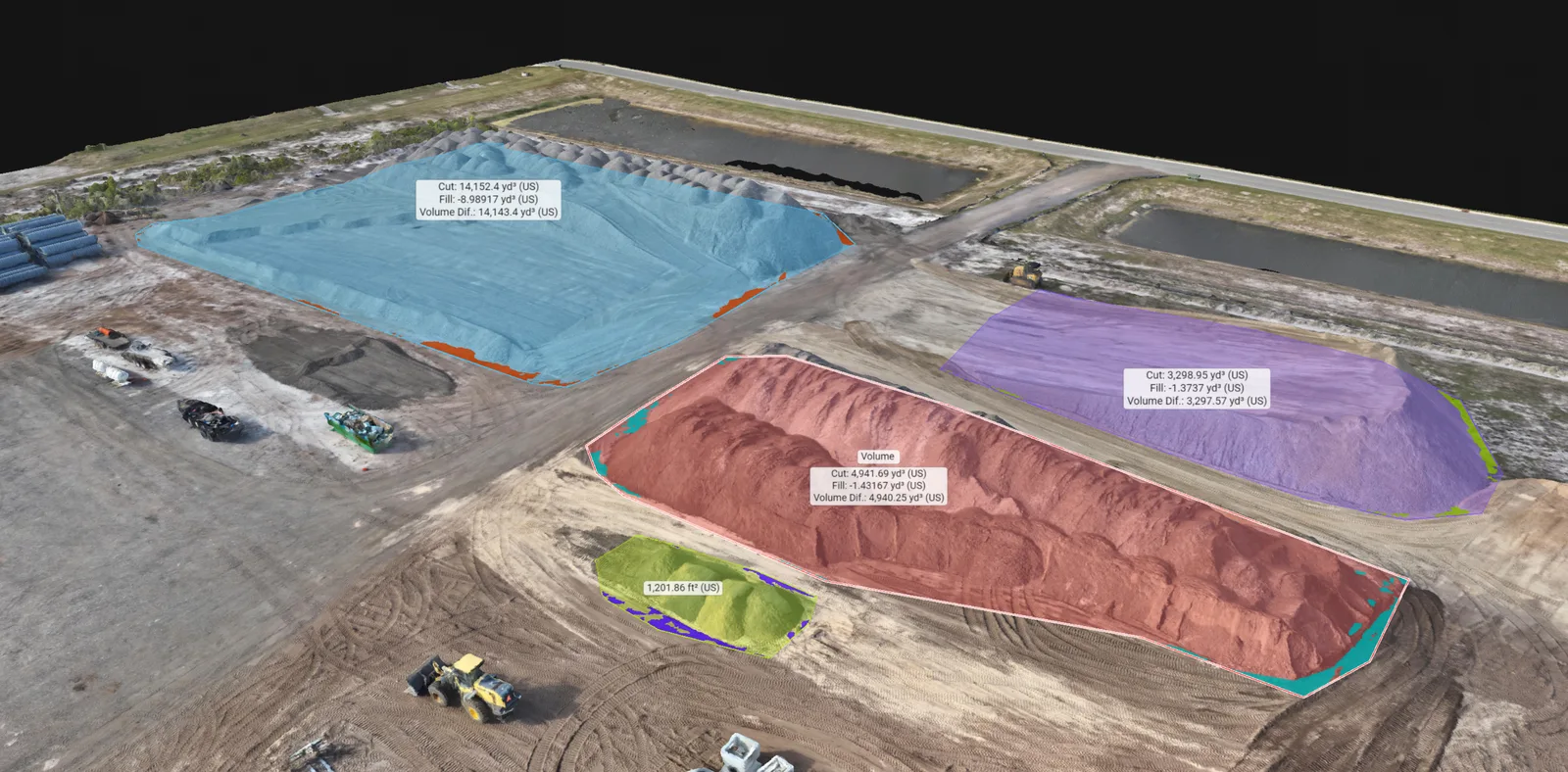
03 / Mapping services
Stockpile volumes & earthwork
Stockpile volume estimates with the selected area and calculation method explained.
Explore the serviceMore drone services
Explore more services.
Mapping
Drone Mapping & 3D Models
Overhead site maps, 3D models and stockpile volume estimates to help you review and document your property.
Explore service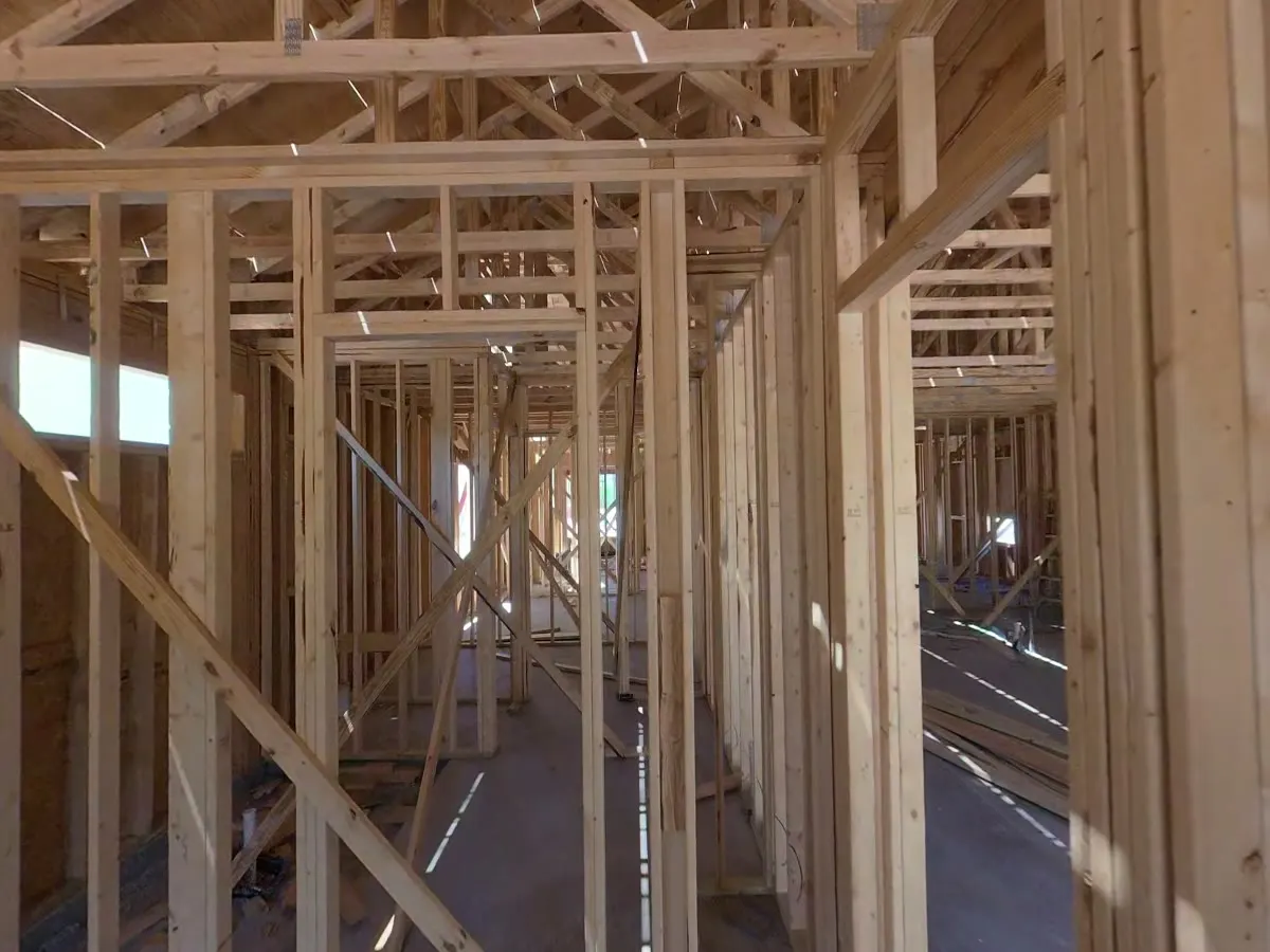
Construction
360° Construction Walkthroughs
Revisit accessible rooms and construction stages with a 360° walkthrough captured using a ground-based camera.
Explore service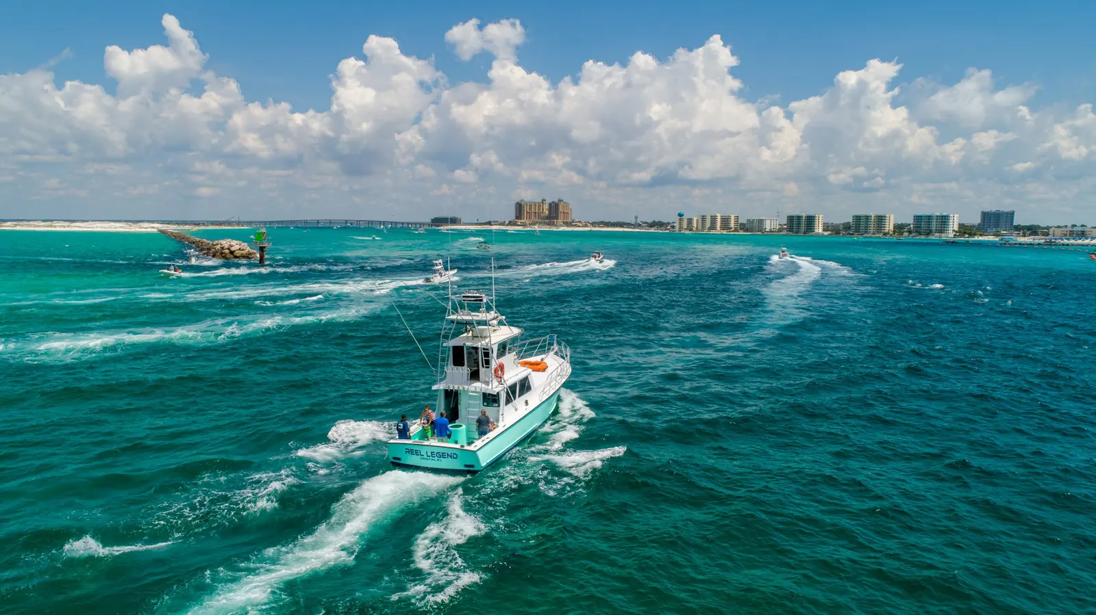
Photography & video
Aerial Photography & Video
Drone photos and video for personal properties, business websites, promotions, and other aerial shoots.
Explore service