Home build monitoring · Walton County, Florida
Three visits to a 30A-area home build
See foundation preparation, roof framing and a ground-based interior walkthrough from three visits to a Walton County home under construction.
Read case study ↗
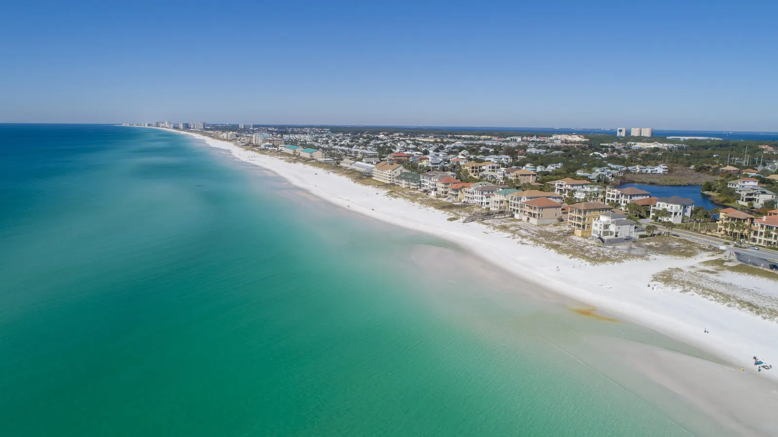
Local drone services / Northwest Florida
Based in Panama City Beach, Emerald Coast Drone Pros provides drone photography, video, mapping and property documentation across Bay, Walton, Okaloosa and Gulf counties. Homeowners, local businesses and project teams are all welcome.
Based in Panama City Beach · Bay, Walton, Okaloosa & Gulf counties
Where we work
From coastal homes and vacation rentals to inland land and active construction, the right coverage starts with the job you need done.
Our base: Panama City Beach, Florida.
Routine coverage: Bay, Walton, Okaloosa and Gulf counties.
Farther trips: Ask about availability for your location.
Choose a county below for communities and services. You do not need to live here to arrange coverage of a property here.
Communities we serve
These are communities in our routine service area, not separate office locations. The list is not exhaustive; unlisted properties in these counties are welcome too.
Panama City Beach, Panama City & beyond
From Panama City Beach and Panama City to Mexico Beach and the inland communities, start with the property address and what you want to see. Home and business photography, construction updates, and property documentation can serve very different needs within the same county.
30A, South Walton & inland communities
We serve coastal communities along 30A and South Walton, growing neighborhoods around Freeport and inland properties near DeFuniak Springs and Paxton. Request listing media, home-build updates, site mapping or property documentation for the location you need covered.
Destin, Fort Walton Beach & inland communities
Request drone photography and documentation in Destin, Fort Walton Beach, Niceville, Valparaiso, Crestview, Baker, Holt and surrounding communities. We help homeowners and businesses with property marketing, site records and construction updates, planned around the actual address.
Port St. Joe, the Cape & inland communities
Coastal homes around Port St. Joe, Cape San Blas, and Indian Pass may need a different view from an inland project near Wewahitchka. Share the address, access arrangements, and purpose so the capture plan reflects your own property.
A straightforward request
You do not need to work out flight equipment or airspace yourself. Start with the property and the result you need.
Enter an address or parcel number, or mark the map. Add more than one property when the same request covers several sites.
Request photos, video, a map, a 3D model or repeat visits. Explain what you need to market, understand or document.
We review access, timing and flight conditions with you before confirming scope. Availability depends on the actual site.
Good to know
Yes. The named communities are examples, not an exhaustive boundary. We accept requests across Bay, Walton, Okaloosa and Gulf counties. Send the exact location so we can review access, timing and flight conditions.
Not necessarily. Tell us who can authorize access and coordinate the visit. We work with homeowners and project contacts who are arranging coverage from out of town.
Farther trips are considered by request. Include the location, service, timing and number of properties so we can discuss availability.
No. Site access, weather, people and airspace can affect a flight. Our pilot reviews location-specific requirements and any needed authorization before confirming coverage.
Project examples
Home build monitoring · Walton County, Florida
See foundation preparation, roof framing and a ground-based interior walkthrough from three visits to a Walton County home under construction.
Read case study ↗Project example · Drone mapping & 3D modeling
Compare an overhead drone map and a textured 3D model of the same multi-building construction site. See what each view helps a project team understand.
Read case study ↗Project example · Stockpile volumes
See an overhead map and a 3D stockpile model from the same materials yard. Learn how pile outlines and the reference surface affect a volume estimate.
Read case study ↗More drone services
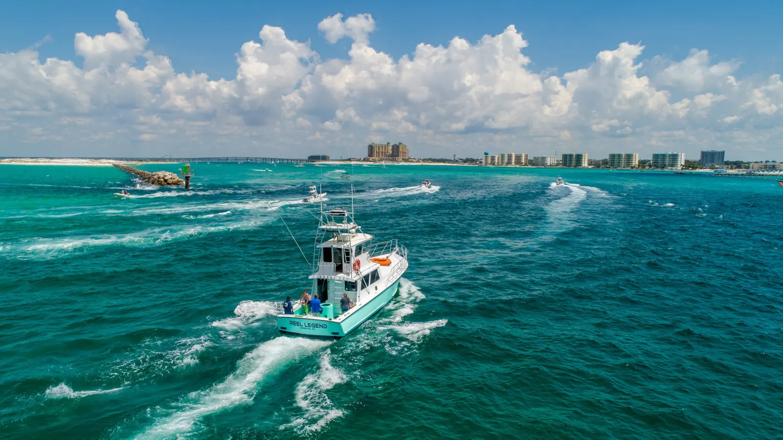
Photography & video
Drone photos and video for personal properties, business websites, promotions, and other aerial shoots.
Explore serviceCoastal imagery
Help guests understand your rental or hospitality property, amenities, grounds, and surrounding setting.
Explore service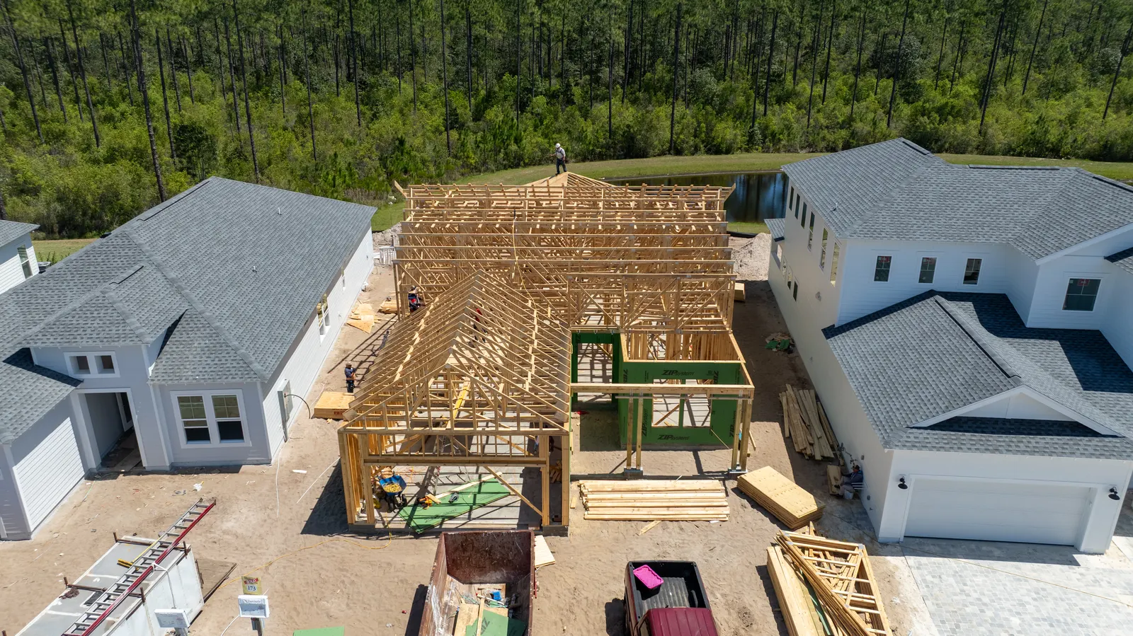
Construction
See dated photos of your home build and discuss progress or concerns with your builder when you cannot visit.
Explore service