
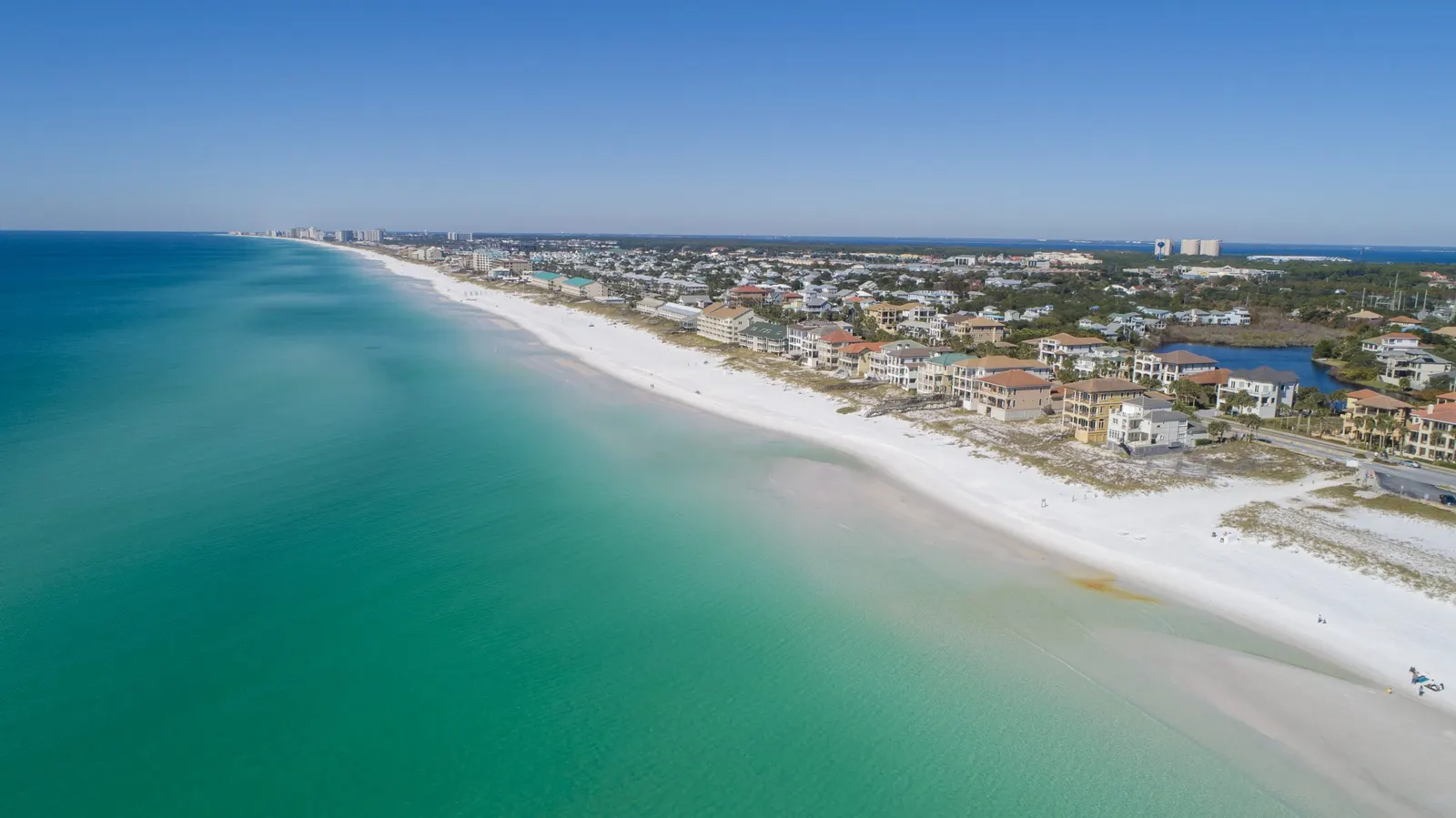
Local drone services / Walton County
Drone Services in Freeport, DeFuniak Springs & Inland Walton County
Large lots, rural access, and active construction can be hard to explain with a few pictures from the road. Our drone photography, mapping, and progress updates help owners and businesses in Freeport, DeFuniak Springs, Paxton, and inland Walton County document the site and the work happening on it. Mark the property location and tell us the areas that matter.
Based in Panama City Beach · Bay, Walton, Okaloosa & Gulf counties
Overview
Show the land beyond the entrance
A road-front photograph can leave most of a larger property unexplained. For land around Freeport, DeFuniak Springs or Paxton, aerial views can connect the visible access road, clearings, buildings and open areas in a way a buyer or remote owner can follow.
Where trees cover the ground, overhead imagery shows the canopy rather than everything beneath it. Point out the features you need recorded and mark the requested area on the form. Add the usable entrance and gate information, since the mailing address may not lead to the right part of the property.
Aerial photography & video Real estate drone photographyChoose a map when the layout is the question
Aerial photographs show selected views of the land. An orthomosaic combines overlapping images into one overhead reference, making visible roads, structures and work areas easier to review together. A photogrammetric 3D model lets you examine captured surfaces from different angles.
For a land listing, well-chosen photographs may be enough. For a contractor discussing the arrangement of a site, a map may be more useful. Tell us who will use the result and ask them for any file requirements before capture. Mapping does not reveal ground hidden by dense vegetation or establish legal property lines.
Orthomosaic mapping 3D site models & point clouds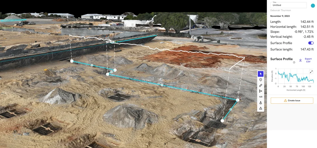
Keep a record as the site changes
Clearing and construction can change a site before an owner has a chance to visit. Dated aerial photographs preserve the visible arrangement at each stage, including access routes, open work areas and building exteriors. Repeat views make those changes easier to compare.
For a home build, milestone visits can follow the builder’s schedule. Ground-based 360° walkthroughs are another option for accessible interiors when the important work is inside rather than visible from above.
Construction progress photography Home build monitoringInland Walton County coverage
We serve Freeport, DeFuniak Springs, Paxton and surrounding Walton County communities from our Panama City Beach base. Unlisted locations are welcome: send a map pin if the property is easier to identify that way.
For coastal homes, rentals and hospitality properties along 30A or in South Walton, see our coastal service-area page.
30A & South Walton drone servicesGood to know
Common questions
Do I need mapping for a land listing?
Not necessarily. Aerial photographs can show the visible land, access and existing features without creating a technical mapping deliverable. Tell us what a buyer needs to see and we can help you choose.
Can your map establish property lines or replace a survey?
No. Our aerial imagery and photogrammetric maps do not replace a licensed boundary survey or engineering work. A marked outline helps identify the requested coverage; it does not verify a legal property boundary.
What should I include for a property without a clear street address?
Use the map pin and optional coverage outline, then describe the usable entrance and any access restrictions. Include a local contact and explain which structures or work areas matter most.
Your next step
Get a clearer view of your land or project
Send the property location and tell us whether you need marketing photographs, a map or a construction record. If another professional will use the files, include their requirements too.
Request a serviceCommunities served in Walton County
Freeport, DeFuniak Springs, Paxton, and surrounding addresses. Based in Panama City Beach; these are service areas, not additional offices.
More drone services
Explore more services.
Mapping
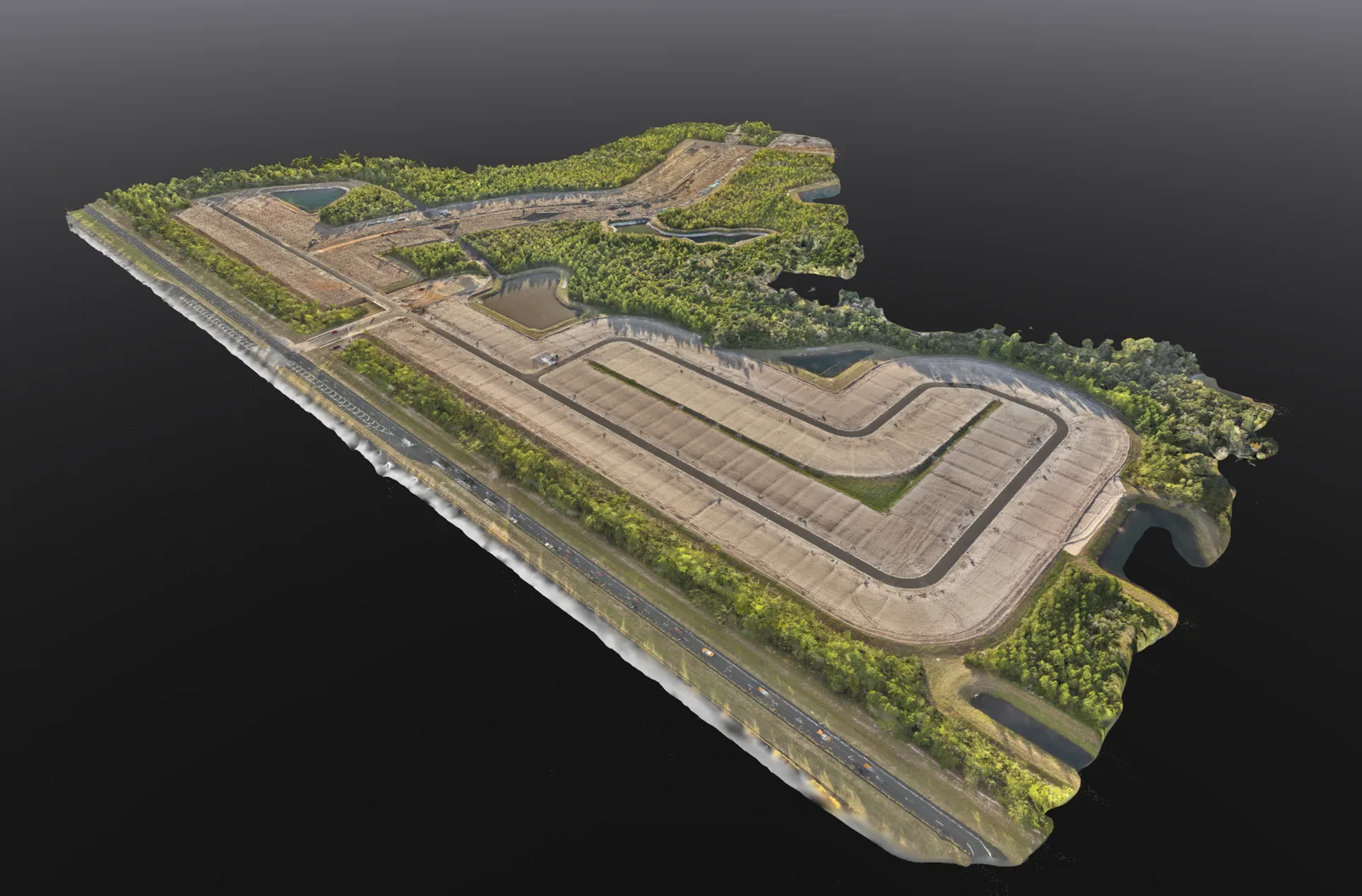
Drone Mapping & 3D Models
Overhead site maps, 3D models and stockpile volume estimates to help you review and document your property.
Explore service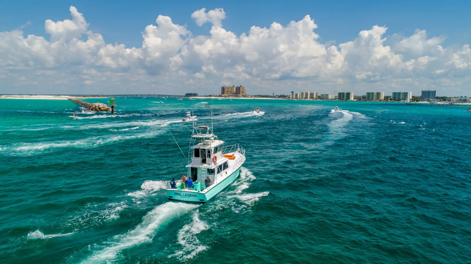
Photography & video
Aerial Photography & Video
Drone photos and video for personal properties, business websites, promotions, and other aerial shoots.
Explore service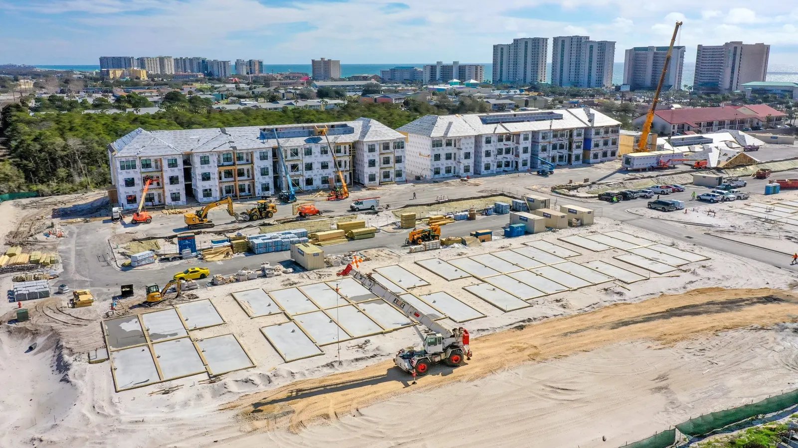
Construction
Construction Progress & Drone Photography
Keep owners and project teams informed with dated site photographs, repeat views, and milestone updates.
Explore service