
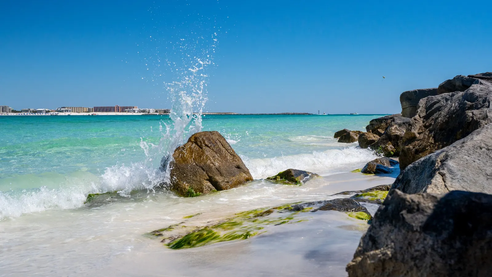
Our equipment & capture methods
Drone and camera technology.
Chosen for the job.
Good drone imagery starts with understanding what you need. We plan the aircraft, camera approach, and capture around the location and final output.
Based in Panama City Beach · Bay, Walton, Okaloosa & Gulf counties
Overview
Aerial cameras: detail, framing and movement
For photography, the camera needs to record the features you want to see clearly. For video, framing and controlled movement also matter: a smooth approach to a property serves a different purpose from a fixed view of construction work. We plan the capture for the finished use, including the screen shape and any requested editing.
A closer view is not simply a matter of flying closer. The subject, safe operating distance, available viewpoints and camera setup all influence what can be recorded. Share a reference image or a shot list when a particular detail is essential.
Mapping: the camera, positioning and processing work together
Photogrammetry uses shared features in overlapping photographs to reconstruct visible surfaces. The image set is processed into an overhead orthomosaic, a textured 3D model or a point cloud, depending on the requested result. Good coverage and viewing angles are as important as a sharp individual photograph.
Our mapping experience includes RTK-enabled drone capture and photogrammetric processing with WebODM. RTK uses positioning corrections during capture. Positioning information, image coverage and processing work together, but none alone proves the accuracy of the finished result.
Photogrammetric processing turns overlapping images into orthomosaics, point clouds and textured 3D models. Processing choices depend on the subject, image quality and intended deliverable. Cole’s technical profile describes his hands-on software experience.
Compare maps, models and volume work Meet Cole Thurmon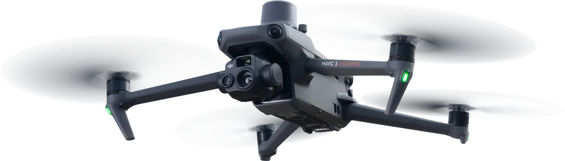
Thermal and visual cameras show different information
A thermal camera shows differences in heat from the surfaces it can observe. A visual camera records recognizable colors, shapes and surroundings. In a lost-pet search, thermal contrast may draw attention to a possible animal, while the visual image helps assess the subject and locate it on the ground.
Thermal is not see-through imaging. Cover, warm surroundings and weather can limit what is distinguishable. Having a thermal camera also does not turn an ordinary photography visit into a specialist diagnostic inspection.
Learn about thermal pet searches360° cameras preserve the view around a room
Our interior construction walkthroughs use a ground-based 360° camera, not an indoor drone flight. Panoramic capture lets a viewer look around from recorded positions and relate a visible detail to doors, windows and the surrounding space.
That makes it useful for recording accessible rooms before finishes cover the work. It is a photographic record, distinct from a measured building scan or an aerial 3D model.
Explore 360° construction walkthroughsTell us about technical requirements before capture
If a photographer, editor or project team has specified a camera, resolution or file format, send that requirement with your inquiry. We will confirm the proposed setup and deliverables before booking. Naming the application that will receive the files is often more useful than asking for the highest specification available.
You do not need to choose the equipment yourself. Start with the subject, location and intended use. We will explain the capture approach and the files included in the quote.
Meet Cole and explore his technical experienceGood to know
Common questions
Can I request a particular camera or file format?
Yes. Share the requirement and explain what it needs to support. We will confirm whether the proposed setup and delivery can meet it before booking.
Does more detailed imagery mean more accurate measurements?
Not necessarily. Clearer, more detailed imagery can support better feature matching and measurement, but detail alone does not establish accuracy. Capture geometry, positioning, reference information, processing and independent checks also matter. Measurement requirements need to be agreed before capture.
Do I need both aerial and ground-based coverage?
Only if both help with your project. Aerial views show the wider property and visible exterior work. Ground-based 360° coverage adds accessible interior context. We can quote the combination you need.
Your next step
Choose the result first
Send the location, what you need to see and how you will use the result. We will help you choose the coverage and explain the proposed deliverables.
Request a quoteMore drone services
Explore more services.
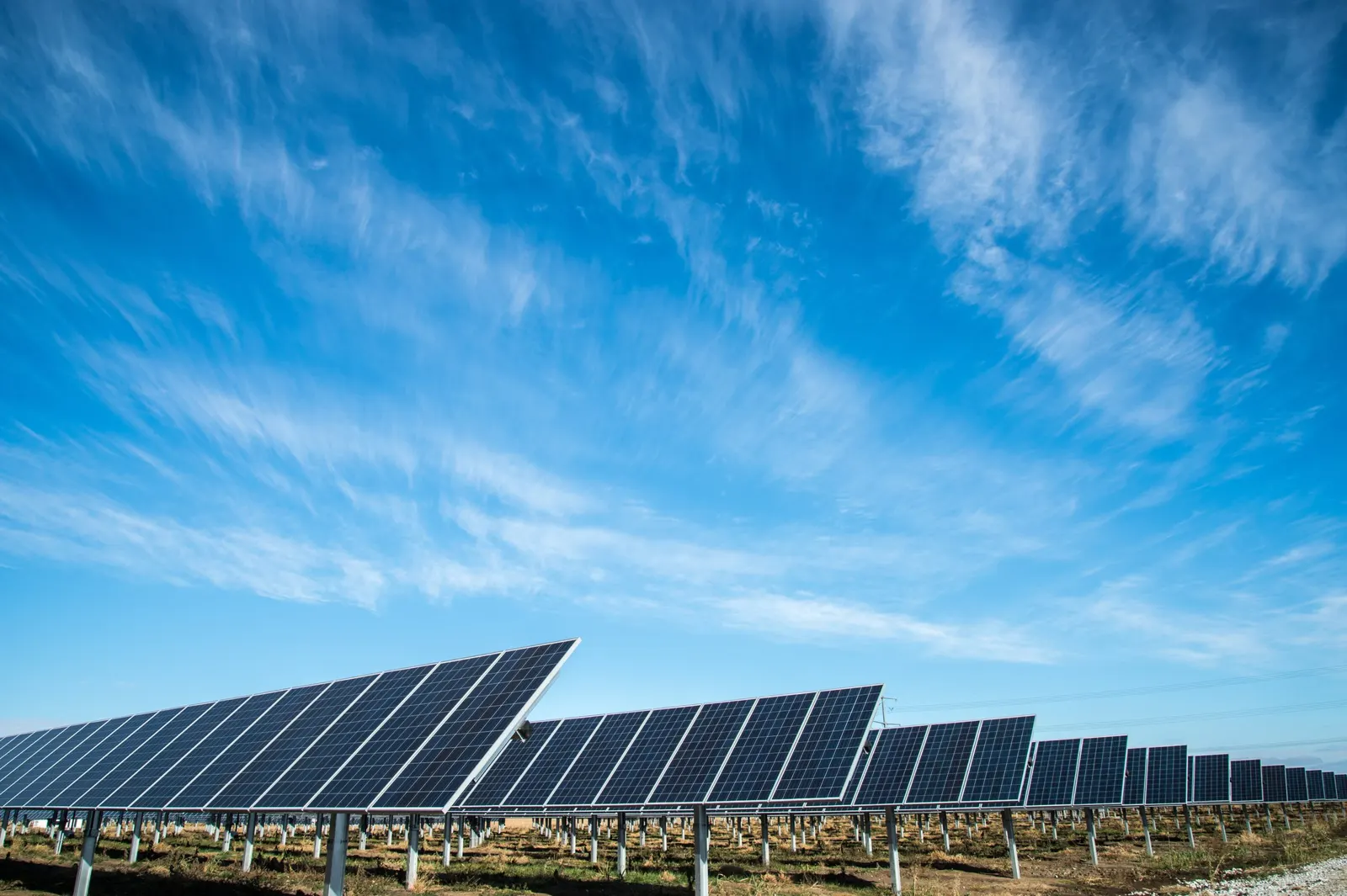
Facilities & infrastructure
Energy & Infrastructure Aerial Imagery
Document visible facility conditions, requested external details, and changes around an asset.
Explore service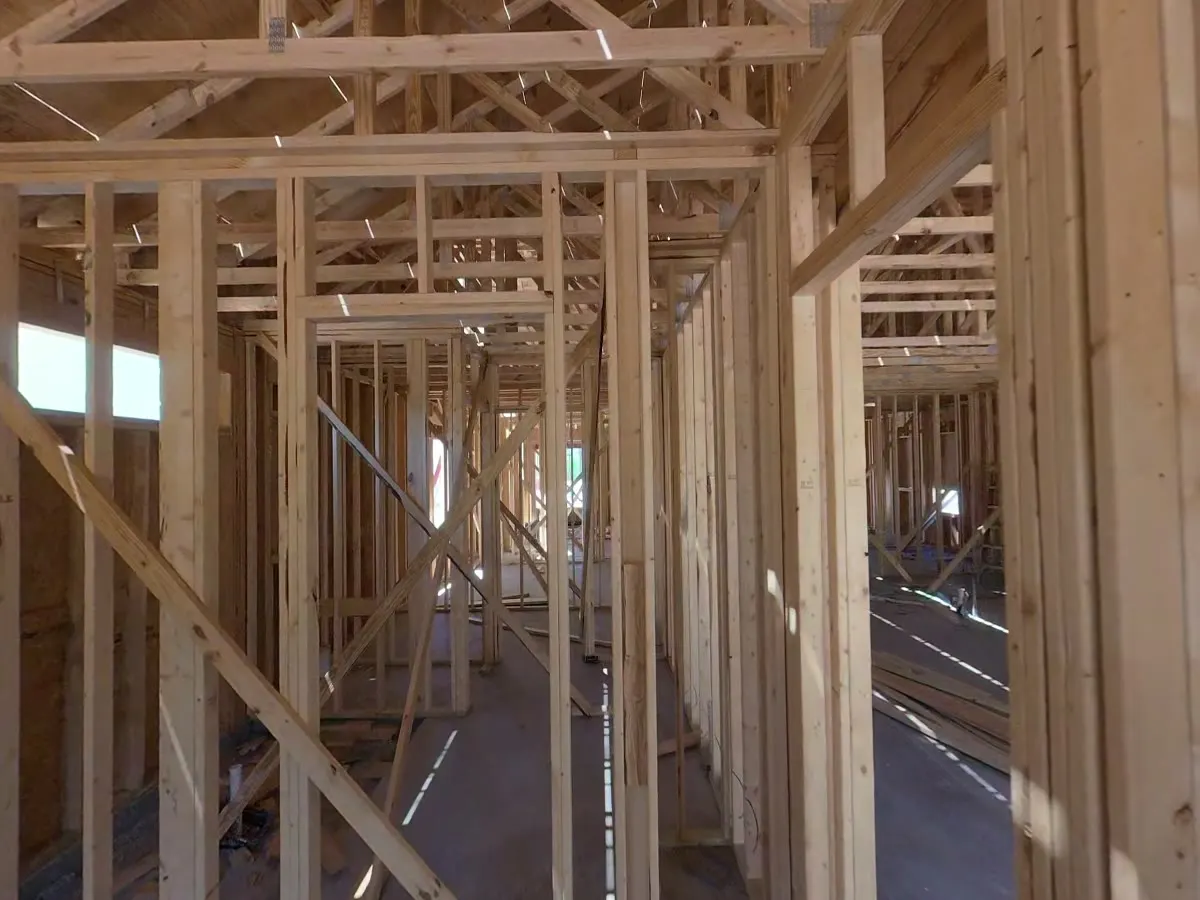
Construction
360° Construction Walkthroughs
Revisit accessible rooms and construction stages with a 360° walkthrough captured using a ground-based camera.
Explore service
Photography & video
Aerial Photography & Video
Drone photos and video for personal properties, business websites, promotions, and other aerial shoots.
Explore service