
A practical planning guide
Do you need aerial photos, a drone map, or a 3D model?
You may need to market land, explain a site to a contractor, or keep a record of construction. Those jobs do not all need the same output. Aerial photographs, stitched maps, and image-based 3D models help in different ways. Start with the decision you need to make, then choose the information that supports it.
Based in Panama City Beach · Bay, Walton, Okaloosa & Gulf counties
Overview
Choose aerial photos to show features and surroundings
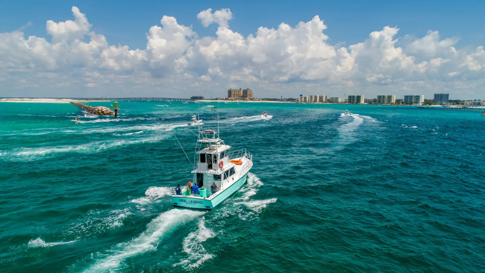
Aerial photographs are individual images taken from selected viewpoints. Angled views can show a building, driveway, parking area or waterfront setting in a way that is easy to recognize. Closer views help draw attention to a particular feature, while wider images explain how it fits into the property.
For a listing, business website or straightforward progress update, a set of well-chosen photos is often enough. Make a short list of what matters rather than asking only for a general flyover. A wide view of the property and a closer view of its access may tell the story better than several similar photographs.
See aerial photography and video coverageChoose an orthomosaic for a combined overhead view
A straight-down photograph and an orthomosaic can look similar at first. The photograph is one camera view. An orthomosaic combines overlapping photographs into a corrected overhead site image, so a team can follow work areas, routes and visible features across the captured property in one reference.
Choose this when the arrangement of the whole site matters more than a few selected viewpoints. For example, a team discussing several work areas can use one mapped reference to locate them. A listing that only needs to show the building and its surroundings may not need mapping at all. Specify whether the recipient wants a viewable site image or a file for mapping software.
Learn about orthomosaic mappingChoose a 3D model when shape matters
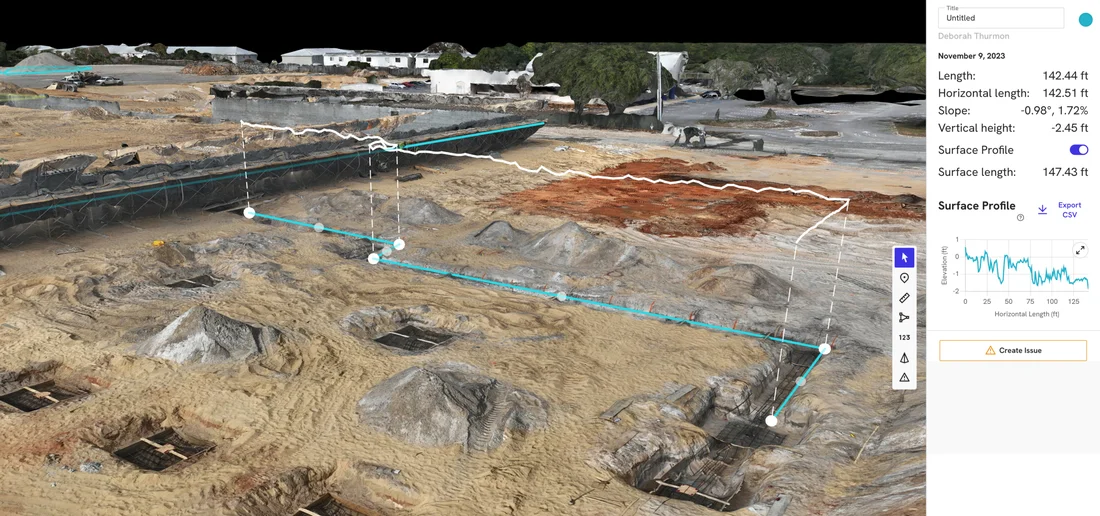
A photogrammetric 3D model reconstructs visible surfaces from overlapping photographs. It gives you a way to view the captured site from different angles rather than relying only on a flat overhead image. A point cloud represents captured surfaces as a collection of points; a textured model adds a connected surface with photographic detail.
Choose a model when you need to look around a captured building or earthwork area, rather than only down at its layout. It still depends on what the photographs can see: trees, overhangs and other obstructions can leave surfaces hidden or incomplete. Identify the surfaces you need before choosing this output.
Explore 3D site models and point cloudsMention measurement needs before the flight
If you need measurements, describe the actual task: comparing an area, estimating a stockpile’s volume or supplying data to another professional. Ask that recipient what file format, coordinate system and accuracy their work requires. Those requirements must shape the capture; they cannot be assumed from how sharp the finished image looks.
Ground control, checks and any involvement from a licensed professional need to be agreed in advance where required. A detailed-looking map or model alone does not tell you whether it is suitable for a particular measurement task.
What to include in your request
You do not have to choose the technical product yourself. A clear description of the job is a good starting point.
The property location and area you want covered, including whether it is one site or several.
What you want to show, compare or measure, and who will use the result.
Any required file format or software, especially if another professional will use the files.
Important features, tree cover, access restrictions and your deadline.
Compare available mapping servicesGood to know
Common questions
Does a drone map show legal property boundaries?
Aerial photos and image-based maps or models do not establish ownership or legal property lines. A public parcel outline can help identify the area you want captured, but it is not a surveyed boundary. ECDP does not provide licensed surveying or engineering services; involve the appropriate professional if your project requires them.
Can I combine photos with a map or model?
Yes, the same project may benefit from more than one output. For example, a land listing might need attractive angled photos while a project team needs a mapped overhead reference. Tell us both uses so the coverage can be planned accordingly.
Your next step
Choose the output that fits the job
Send the location and intended use, along with any file or measurement requirements. We can help you choose a practical photography or mapping plan.
Discuss your mapping projectMore drone services
Explore more services.
Photography & video
Aerial Photography & Video
Drone photos and video for personal properties, business websites, promotions, and other aerial shoots.
Explore service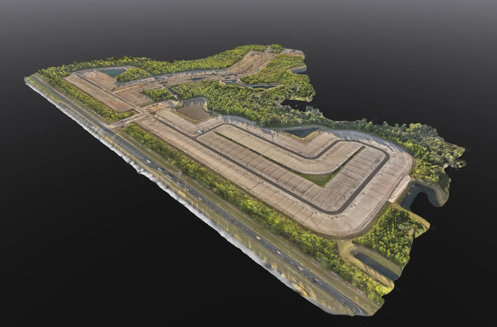
Mapping
Drone Mapping & 3D Models
Overhead site maps, 3D models and stockpile volume estimates to help you review and document your property.
Explore service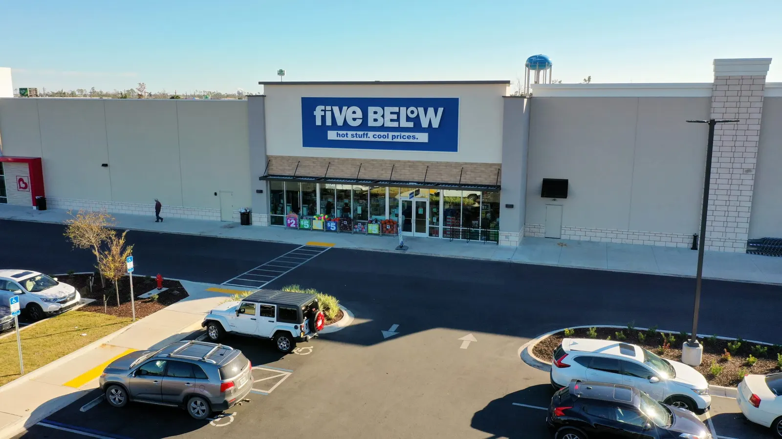
Real estate
Commercial Real Estate Drone Photography
Show the building, access, parking, and surrounding development to buyers, tenants, and project partners.
Explore service