Home build monitoring · Walton County, Florida
Three visits to a 30A-area home build
See foundation preparation, roof framing and a ground-based interior walkthrough from three visits to a Walton County home under construction.
Read case study ↗
Drone services / Find the help you need
A one-time photo shoot. A better listing. A look at the roof. A map of your land. Explore the ways we help homeowners and businesses use drone imagery.
Based in Panama City Beach · Bay, Walton, Okaloosa & Gulf counties
01 / Photography & marketing
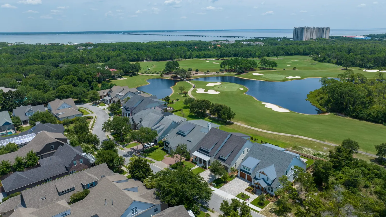
Show people more than they can see from the street. Aerial photos and video put a property in context, bringing together the building, outdoor space, access and surrounding area. Choose the page that matches what you are promoting.
Photography & video
Drone photos and video for personal properties, business websites, promotions, and other aerial shoots.
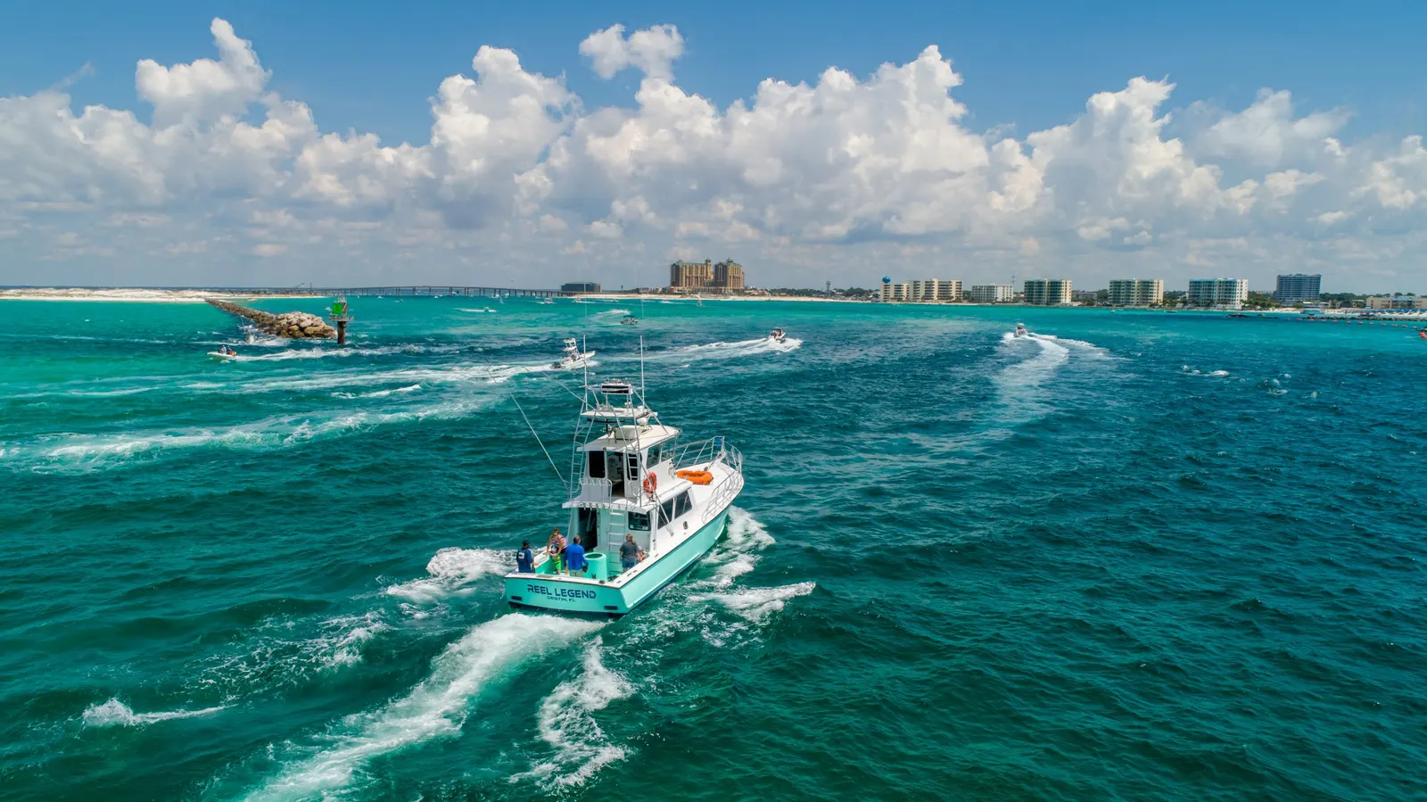
Explore serviceReal estate
Show buyers the lot, driveway, outdoor features, and setting that interior listing photos leave out.
Explore service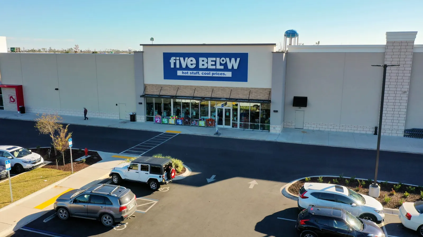
Real estate
Show the building, access, parking, and surrounding development to buyers, tenants, and project partners.
Explore service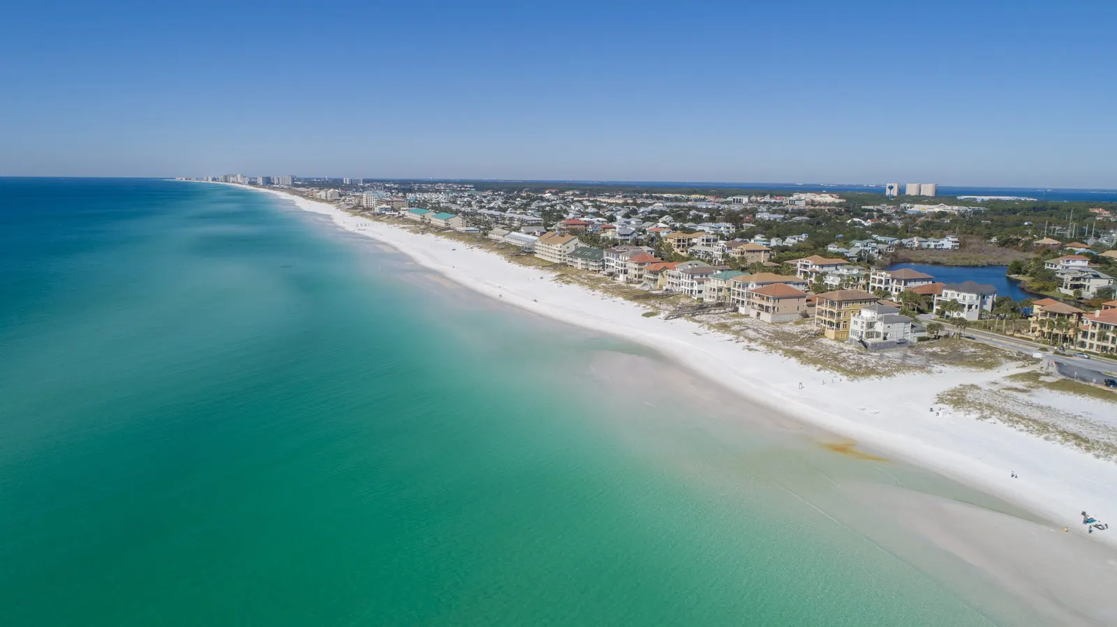
Coastal imagery
Help guests understand your rental or hospitality property, amenities, grounds, and surrounding setting.
Explore service02 / Mapping & project updates
Choose mapping when you need to review the site’s visible layout or surfaces. Choose progress photography when you need to follow changes over time. For accessible interiors, 360° walkthroughs create a room-by-room visual record. These services can be combined, but they produce different kinds of files.
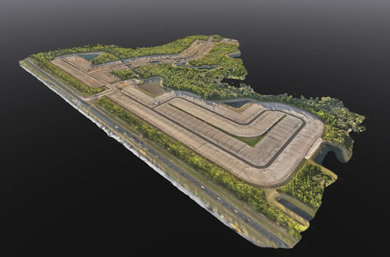
Mapping
Overhead site maps, 3D models and stockpile volume estimates to help you review and document your property.
Explore service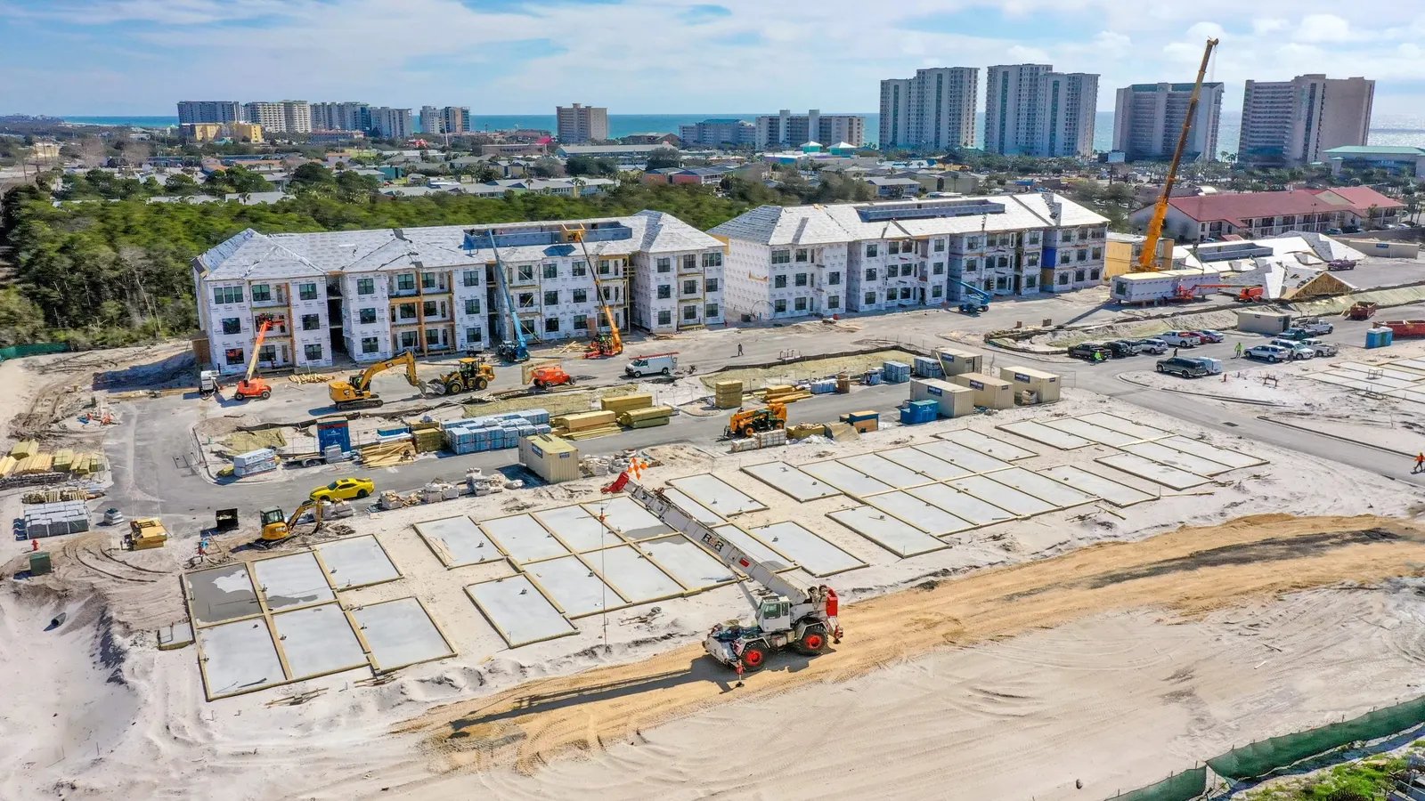
Construction
Keep owners and project teams informed with dated site photographs, repeat views, and milestone updates.
Explore service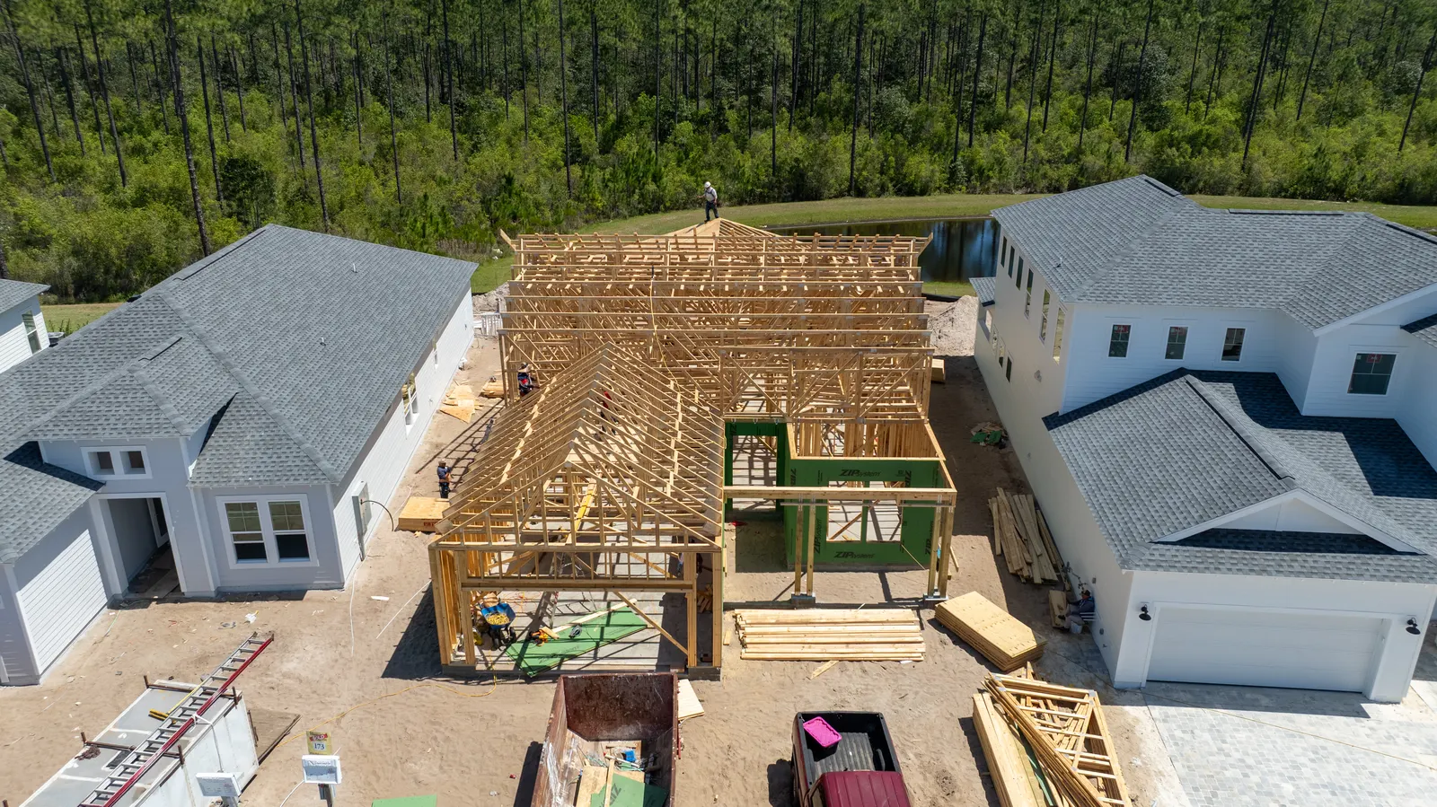
Construction
See dated photos of your home build and discuss progress or concerns with your builder when you cannot visit.
Explore service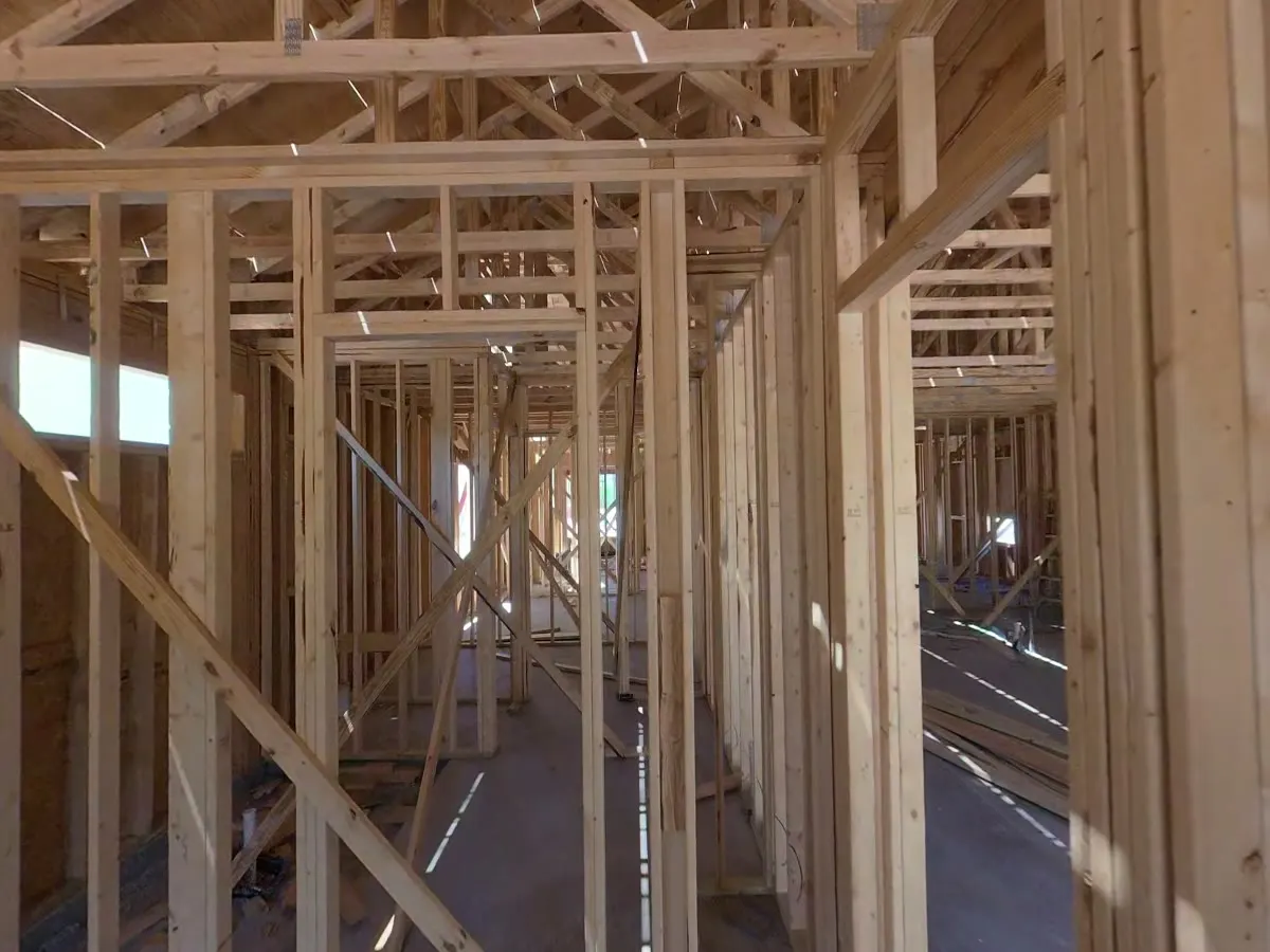
Construction
Revisit accessible rooms and construction stages with a 360° walkthrough captured using a ground-based camera.
Explore service03 / Property & community
When something needs attention, clear photographs make it easier to explain what you are seeing. Use aerial coverage to record visible conditions and share them with a roofer, contractor, manager or community board.
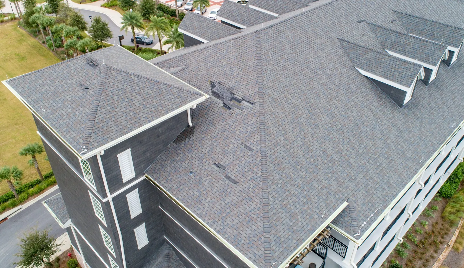
Roof & property
Get roof overviews and detail photographs to discuss visible conditions with your roofer.
Explore service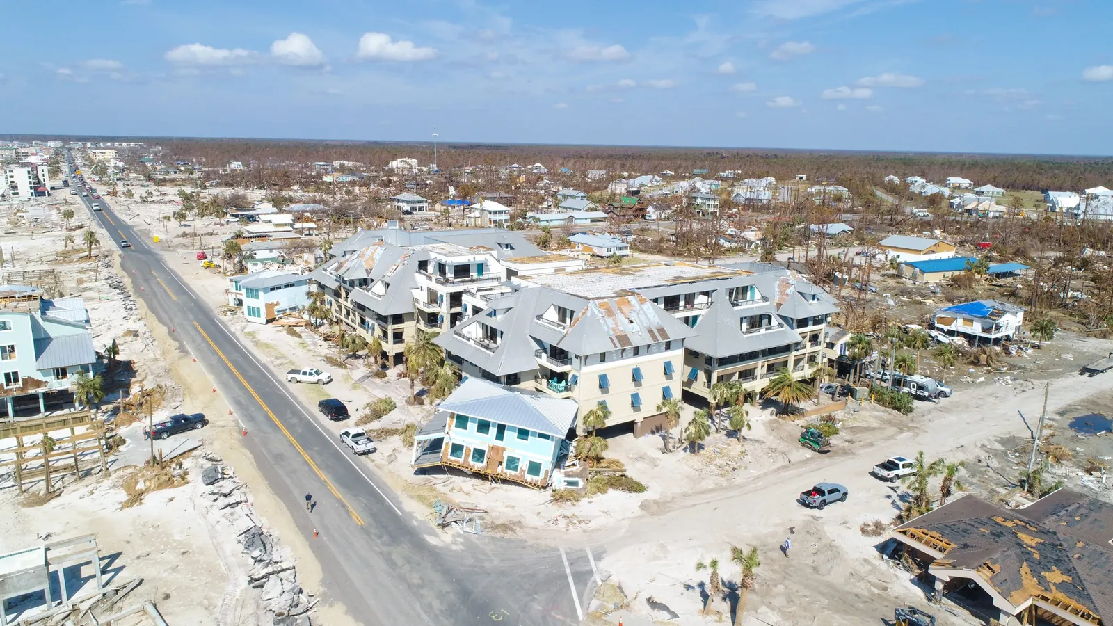
Roof & property
Document visible exterior conditions before cleanup and repairs change the property.
Explore service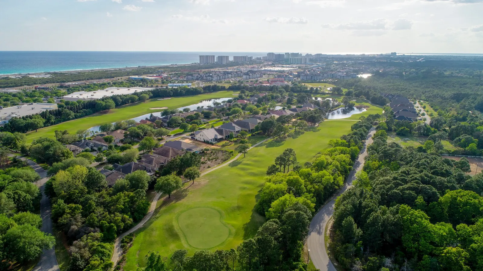
Communities
Give boards and managers clear aerial records of common areas, amenities, and community projects.
Explore service04 / Specialist services
Energy-site documentation and lost pet searches call for very different preparation. Follow the relevant service link for the information we need and the practical limits of each type of capture.
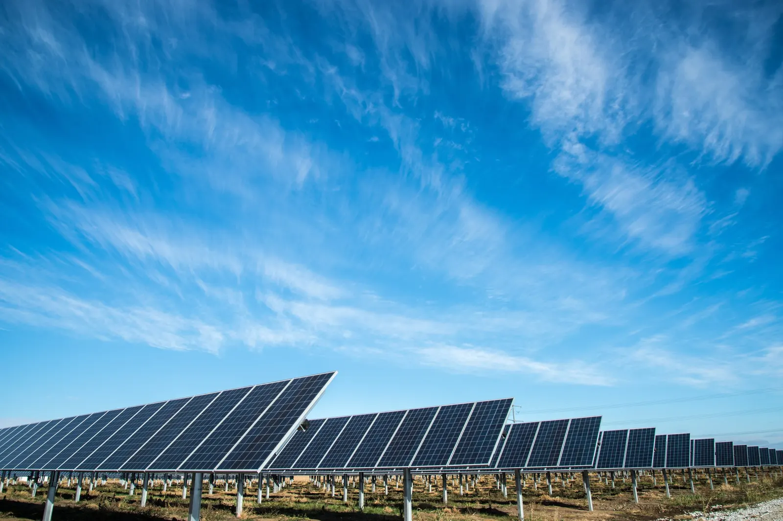
Facilities & infrastructure
Document visible facility conditions, requested external details, and changes around an asset.
Explore service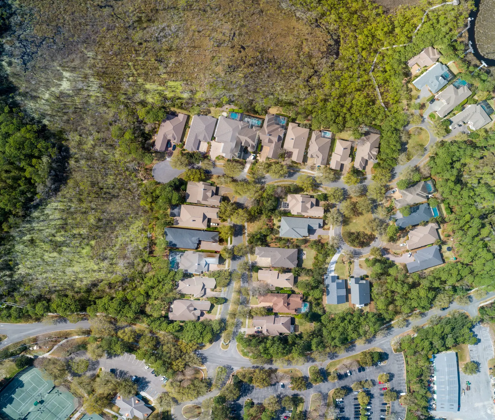
Home & community services
Request thermal drone coverage around a missing pet’s last confirmed sighting and the area to be searched.
Explore serviceChoose the output
Start with the decision you need to make, then choose the site record, model or quantity workflow that supports it.
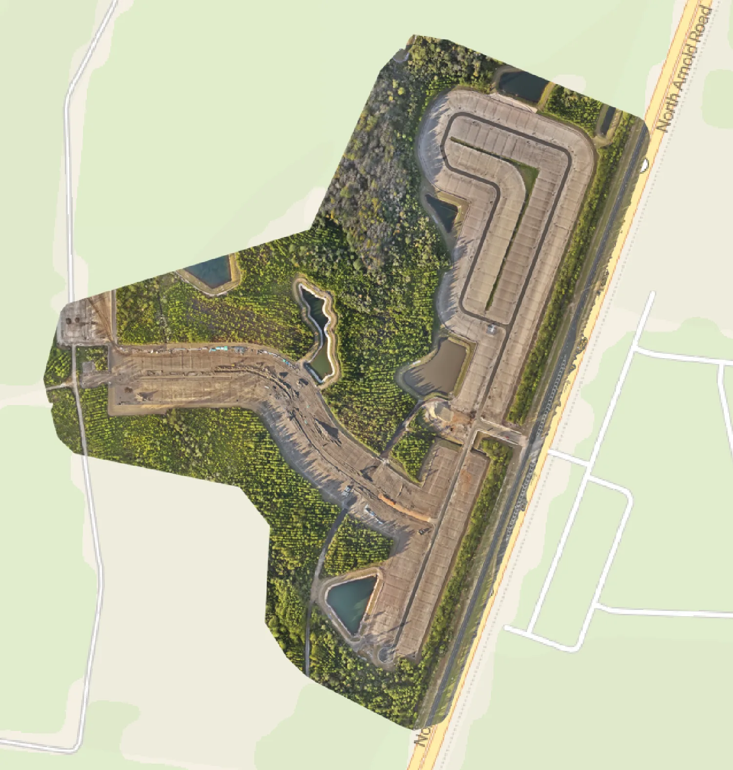
01 / Mapping services
A current overhead record of the site, its visible features and existing conditions.
Explore the service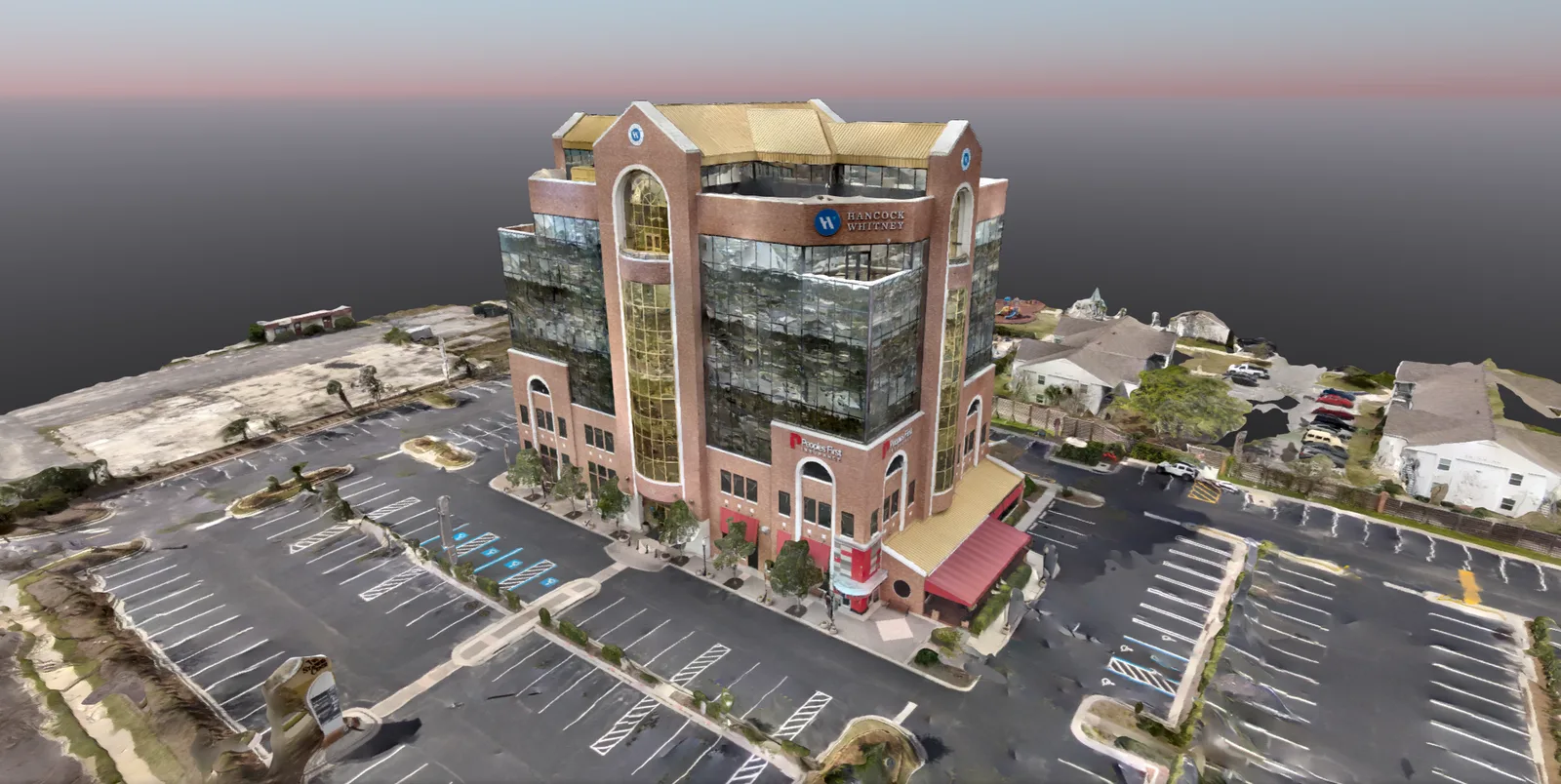
02 / Mapping services
3D models and point-cloud files to help your team review the shape of a site.
Explore the service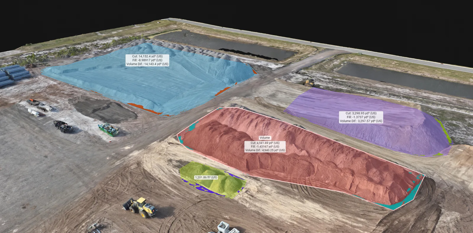
03 / Mapping services
Stockpile volume estimates with the selected area and calculation method explained.
Explore the serviceSomething different in mind?
Describe the job and its location. Whether you need a particular photograph, recurring site coverage, or help choosing the right output, we will review the request and explain how we can help.
Request a custom serviceProject examples
Home build monitoring · Walton County, Florida
See foundation preparation, roof framing and a ground-based interior walkthrough from three visits to a Walton County home under construction.
Read case study ↗Project example · Drone mapping & 3D modeling
Compare an overhead drone map and a textured 3D model of the same multi-building construction site. See what each view helps a project team understand.
Read case study ↗Project example · Stockpile volumes
See an overhead map and a 3D stockpile model from the same materials yard. Learn how pile outlines and the reference surface affect a volume estimate.
Read case study ↗More drone services
Coastal imagery
Help guests understand your rental or hospitality property, amenities, grounds, and surrounding setting.
Explore serviceFacilities & infrastructure
Document visible facility conditions, requested external details, and changes around an asset.
Explore serviceMapping
Overhead site maps, 3D models and stockpile volume estimates to help you review and document your property.
Explore service